5 m away
Top of the World via Whyte Bowl
Enjoy some of the finest views at Sun Peaks and explore some wild-feeling terrain.
Difficult Hiking
- Distance
- 5.9 km
- Ascent
- 287 m
- Descent
- 287 m
Climb the most famous summit in these parts and enjoy some wild terrain in the process!
Hiking Difficult

This is an amazing hike through forests and fields which lead to a peak in the heart of BC's wild interior.
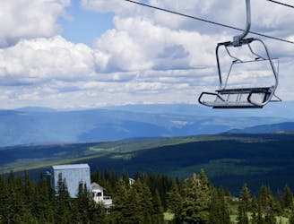
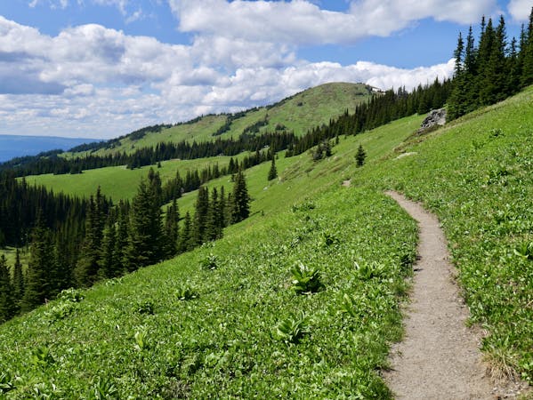
Start from the top of the Sunbrust Express chairlift and follow the Altitude XC bike route before branching off right into Whyte Bowl. The Whyte Bowl section of this hike is wild, with the trail leading you through both dense forests and wide open meadows which hang high above the deep valleys below. The route passes through terrain which is absolutely ideal for bears, and there are plenty about, so be bear aware and make plenty of noise as you hike!
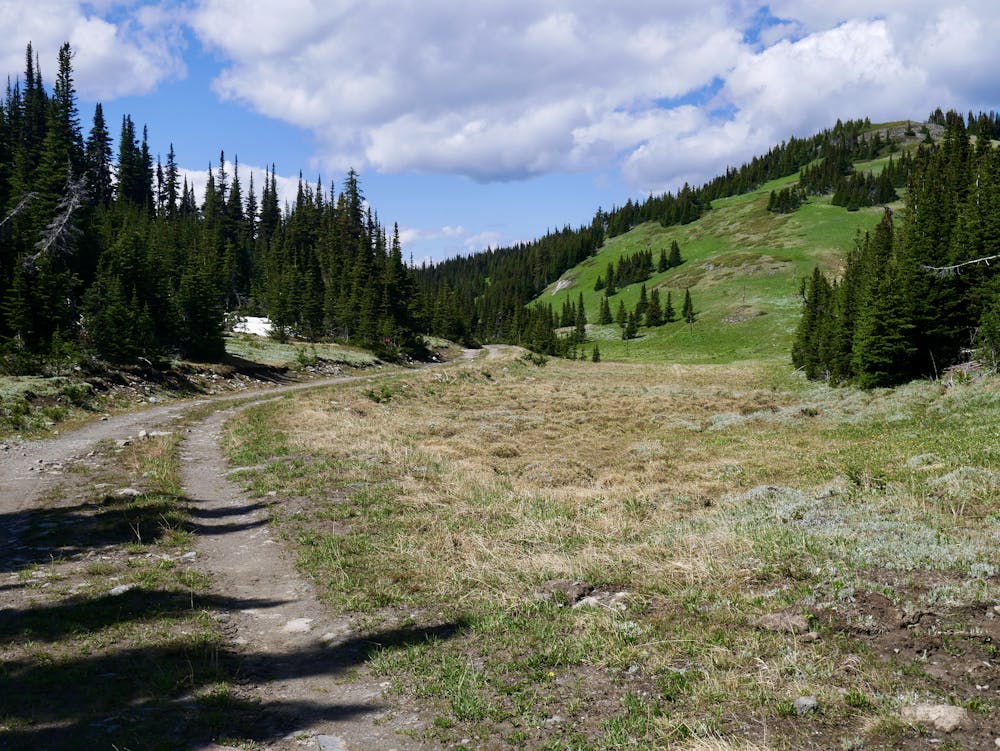
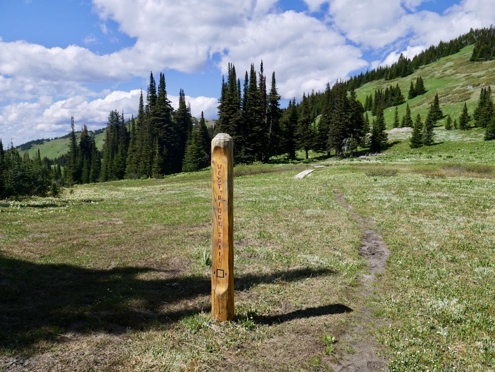
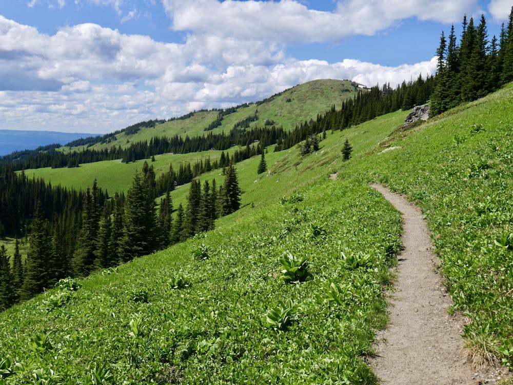
Just before reaching the junction with Top of the World, branch off left and follow a jeep track before departing this after 1km or so and getting onto West Ridge proper. Follow the West Ridge trail through a series of gorgeous meadows and brief sections of dense forest traversing a hillside, enjoying the solitude and scenery all the way.
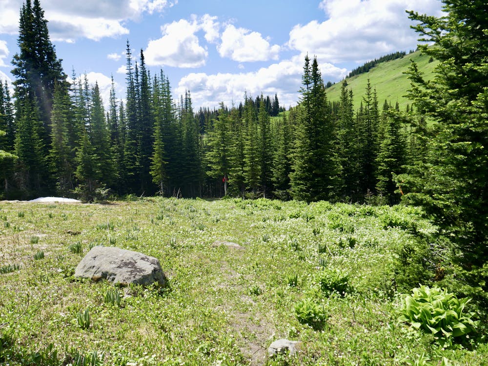
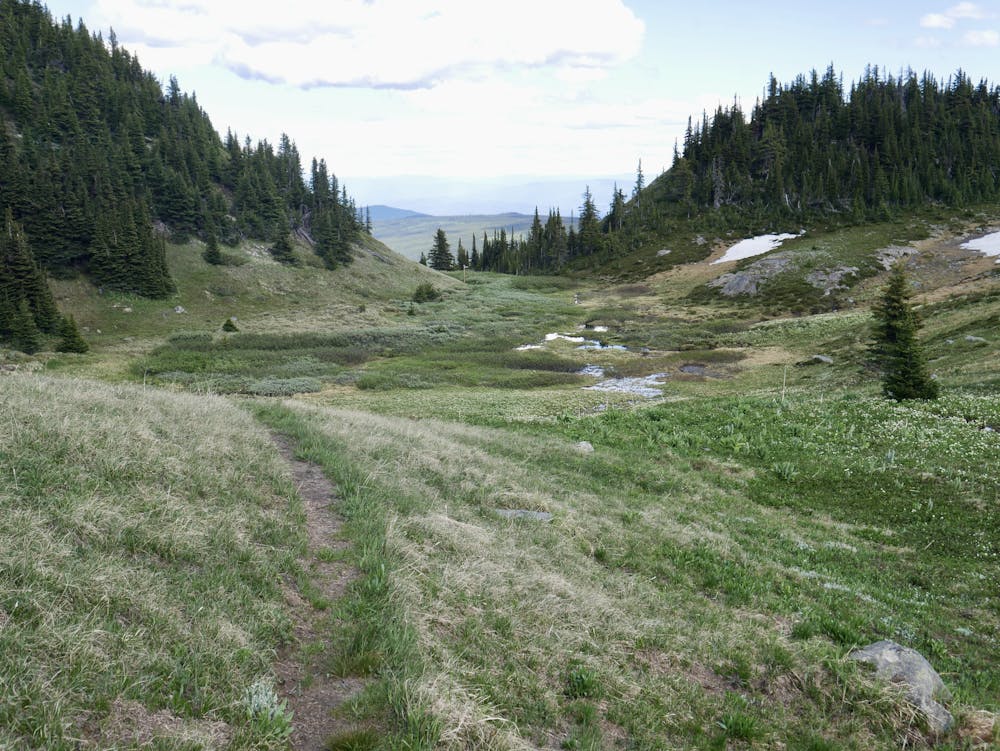
Cross over the Altitude XC bike route again and follow the rather indistinct Tod's Backside Trail, which leads you around to the north of the peak. The Tod's Backside Trail passes through some very wild-feeling terrain (which also feels like prime bear habitat!) and eventually leads you into a beautiful and peaceful shallow valley with a river trickling down through it.
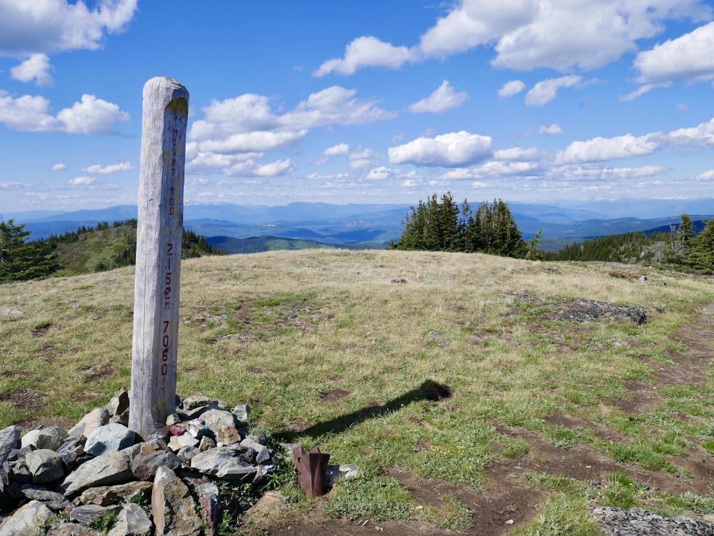
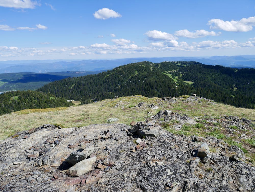
Turn off right and climb Tod Peak itself via a clear but often steep path. The views are amazing, and the snow-capped peaks of the Monashees look remarkably close. You can also see much of the terrain you covered to get here, which provides some satisfaction, and a reminder that you've still got some work to do before you're safely home!
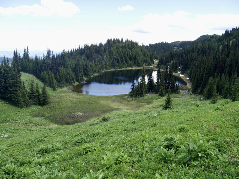
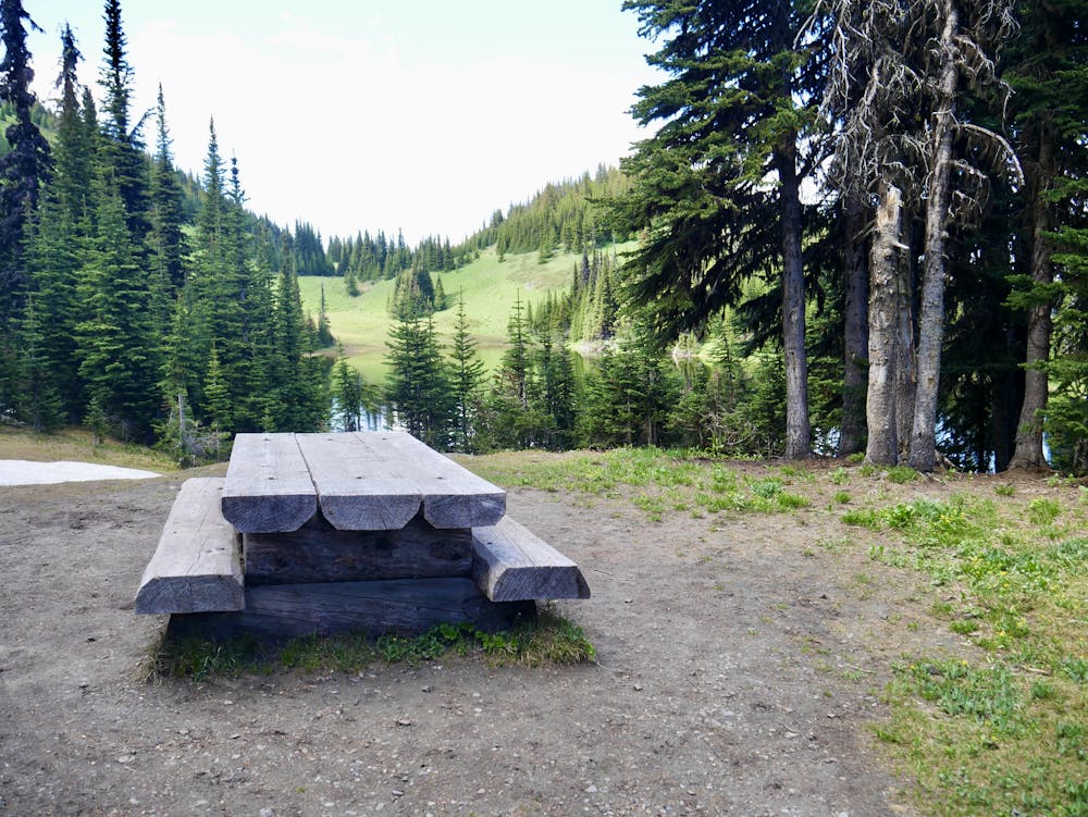
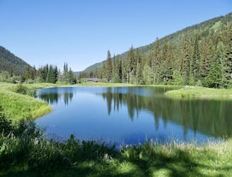
Descend back to Tod's Backside and stroll down to the stunning Tod Lake. Even late in the summer the path above this can be quite muddy but it's easy enough to skirt the wet bits and keep your feet dry. There's a beautiful picnic bench at the southern end of the lake (see photos) so eat up any last supplies there before following Gil's Trail as it winds back to the chairlift.
Difficult
Hiking trails where obstacles such as rocks or roots are prevalent. Some obstacles can require care to step over or around. At times, the trail can be worn and eroded. The grade of the trail is generally quite steep, and can often lead to strenuous hiking.

The trail contains some obstacles such as outcroppings and rock which could cause injury.

Little chance of being seen or helped in case of an accident.
5 m away
Enjoy some of the finest views at Sun Peaks and explore some wild-feeling terrain.
Difficult Hiking
121 m away
The easiest hike from Sunburst Express - this is as straightforward and relaxing as it gets!
Moderate Hiking
2.8 km away
A lovely stroll which is suitable for the whole family
Easy Hiking
4 routes · Hiking