2.6 km away
Vista
The easiest hike from Sunburst Express - this is as straightforward and relaxing as it gets!
Moderate Hiking
- Distance
- 1.5 km
- Ascent
- 45 m
- Descent
- 45 m
A lovely stroll which is suitable for the whole family
Hiking Easy

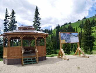
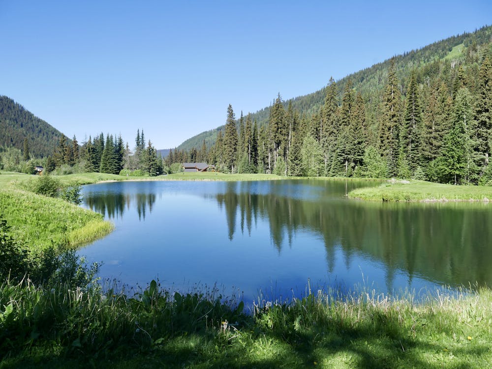
If you've got dogs or kids who need to get some exercise, or you just want a quiet and stress-free stroll, this is the hike for you. There are many variations on it, but regardless of the exact route you take it's a lovely trip through Sun Peaks village, its golf course and some of its more exclusive neighbourhoods.
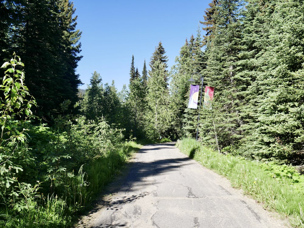
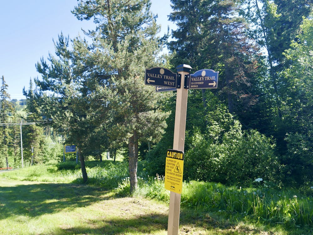
The trail is easy throughout and there are zero obstacles, save for the occasional little bump to surmount. There are also some short bridges to cross, but other than that it's a uniform and smooth trail the whole way. Most of the trail is reasonably well signposted but you might want to get FATMAP out on a few occasions where a few paths intersect. The valley which houses Sun Peaks is pretty steep-sided so provided you are on a nice, easy trail and aren't going uphill - you probably aren't going too far wrong!
The key bit of route finding is locating the covered bridge at the western end of the village centre, opposite the Hearthside Lodge. Once over the bridge it's simply a case of enjoying the scenery and ambience. The trail is best done early in the morning or late at night because the manicured golf course looks wonderful in dimmed light.
Needless to say, the route can be done in either direction, on bike or tire. It's actually a commuter route for many Sun Peaks locals and is a popular way of escaping the hustle of the village for an hour of wandering and wondering. Plenty of people also hike the trail in winter too, but temperatures in Sun Peaks can dip below -30c so it won't be nearly as relaxing as we've made it sound in those conditions!
Easy
Walking along a well-kept trail that’s mostly flat. No obstacles are present.

The path is on completely flat land and potential injury is limited to falling over.
Close to help in case of emergency.
2.6 km away
The easiest hike from Sunburst Express - this is as straightforward and relaxing as it gets!
Moderate Hiking
2.8 km away
Enjoy some of the finest views at Sun Peaks and explore some wild-feeling terrain.
Difficult Hiking
2.8 km away
Climb the most famous summit in these parts and enjoy some wild terrain in the process!
Difficult Hiking
4 routes · Hiking