6.4 km away
Mt Seymour Hike
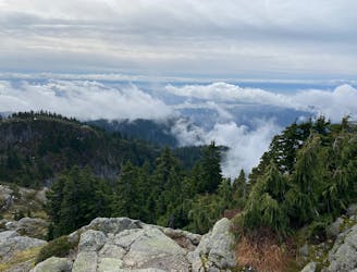
A scrambly hike to the summit of Mt. Seymour
Difficult Hiking
- Distance
- 9 km
- Ascent
- 564 m
- Descent
- 565 m
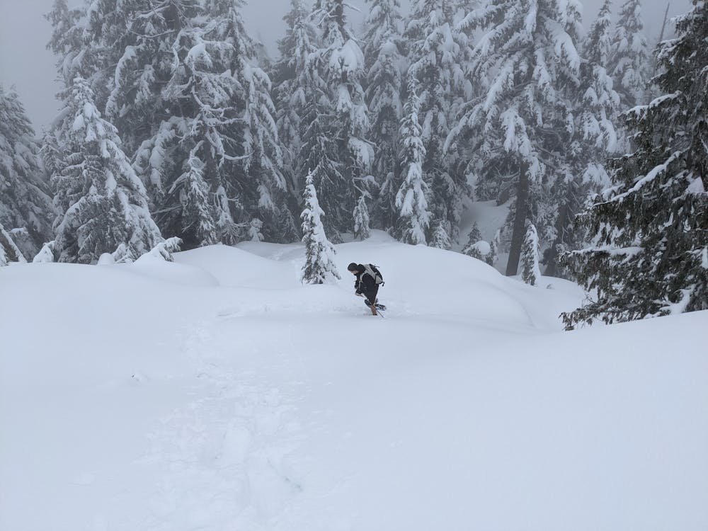
Snowshoeing up to Paton Peak below Coliseum
Hiking Difficult

Paton Peak is a 5 km round trip hike to what was formally known as Vancouver's Lookout. It is access via a logging spur at the 9.5 km mark of the Seymour Demonstration forest by foot, bike, or other non motorized modes of transportation. We biked it with packs loaded with avalanche gear and snowshoes / ice axes. Peak is only at 1020m elevation, but the snow was 2.5m deep at the summit. 4.5 hours round trip with some difficult navigation in places in the deep snow.
Difficult
Hiking trails where obstacles such as rocks or roots are prevalent. Some obstacles can require care to step over or around. At times, the trail can be worn and eroded. The grade of the trail is generally quite steep, and can often lead to strenuous hiking.

The trail contains some obstacles such as outcroppings and rock which could cause injury.

Little chance of being seen or helped in case of an accident.
6.4 km away
A scrambly hike to the summit of Mt. Seymour
Difficult Hiking
7.7 km away
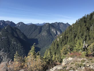
Follow a heavily forested ridge to one of Vancouver's lesser known peaks
Moderate Hiking

6 routes · Hiking

3 routes · Hiking