3.1 km away
Jug Island Trail
Short distance, low elevation, great views
Easy Hiking
- Distance
- 4.8 km
- Ascent
- 213 m
- Descent
- 213 m
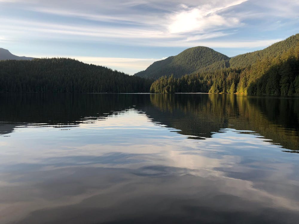
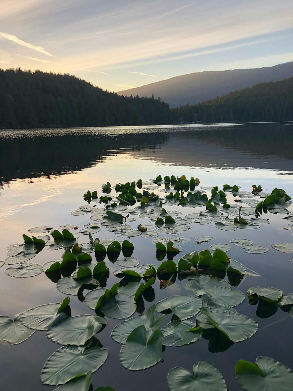
Short, easy, well maintained trail which loops around Sasamat lake near Port Moody
Hiking Moderate

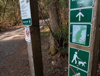
The trail loops around the lake so you can start at any point. Most start near the car park at White Pine beach.
Walk counter clockwise around the lake, keeping the lake always on your left hand side.
Follow the trail round the lake then continue up the wooden stairs and merge with the gravel road above and follow the road to the left.
As the trail continues toward Bedwell Bay Road walk down the steps. Cross the stream and turn left to continue round the lake.
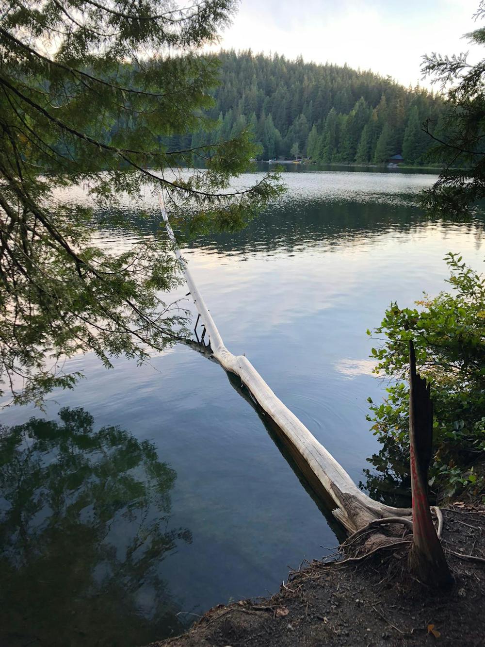
The trail eventually arrives at the south end of the lake with a crossing. Once you've crossed the lake continue along the trail back to White Pine beach.
On a nice day it's worth stopping at the crossing at the South end of the lake for a quick dip or relaxing at White Pine Beach.
This trail and lake get very busy, especially in the summer months so arrive early. Parking is limited.
Moderate
Hiking along trails with some uneven terrain and small hills. Small rocks and roots may be present.

The trail contains some obstacles such as outcroppings and rock which could cause injury.

Close to help in case of emergency.
3.1 km away
Short distance, low elevation, great views
Easy Hiking
6.7 km away
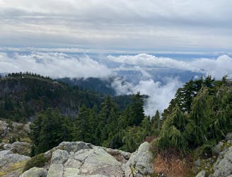
A scrambly hike to the summit of Mt. Seymour
Difficult Hiking

7 routes · Hiking · Trail Running

6 routes · Hiking

3 routes · Hiking