3.5 km away
Fat Tug Loop
This rugged ride is short but sweet!
Severe Mountain Biking
- Distance
- 5.8 km
- Ascent
- 284 m
- Descent
- 284 m
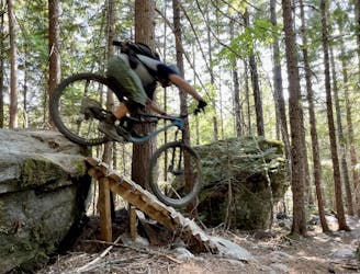
This remote trail in the Mackenzie network almost feels like a backcountry ride!
Mountain Biking Severe

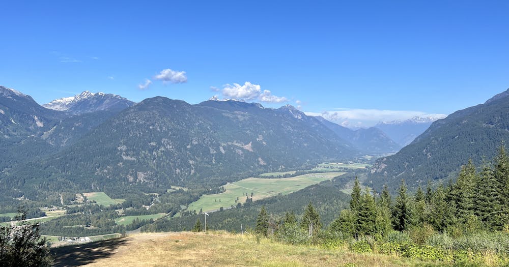
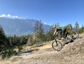
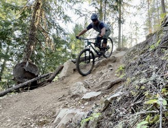
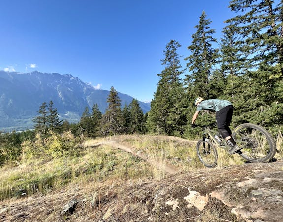
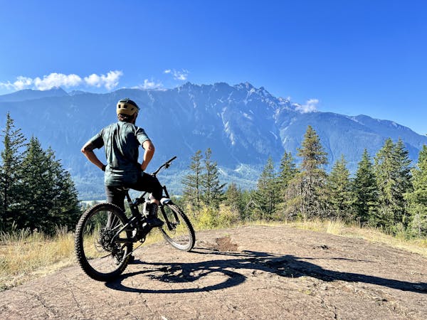
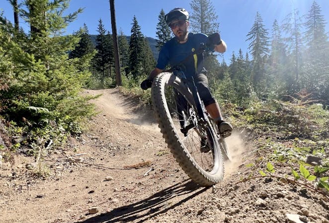
Live Like Lisa is one of the most remote trails in the Mackenzie Trail Network near Pemberton. This descent is the northernmost trail in the northwest corner of the trail system, dropping from the forest service road down to the banks of the Lillooet River far below. Live Like Lisa can either be pedaled as a loop using the NIMBY climb or shuttled with a 4x4 vehicle. It is shown here as a shuttle.
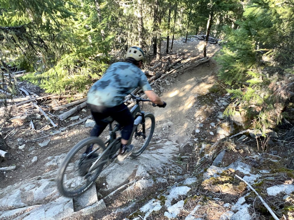
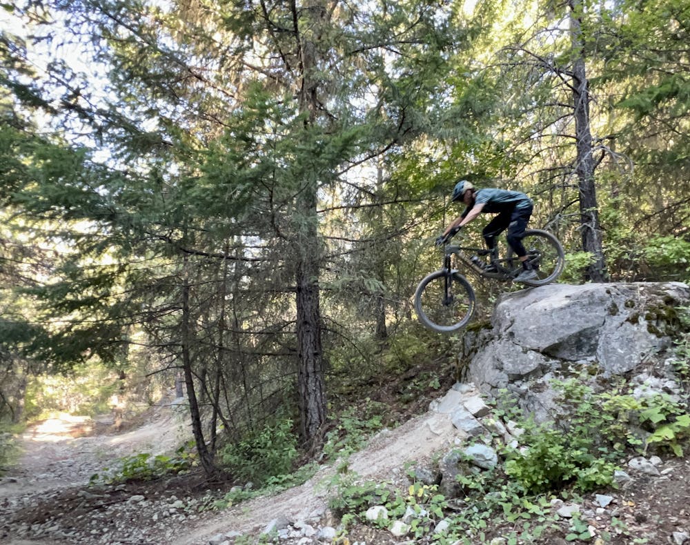
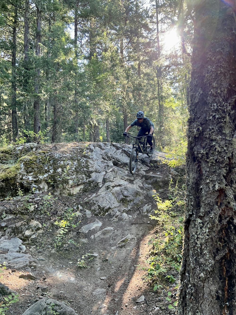
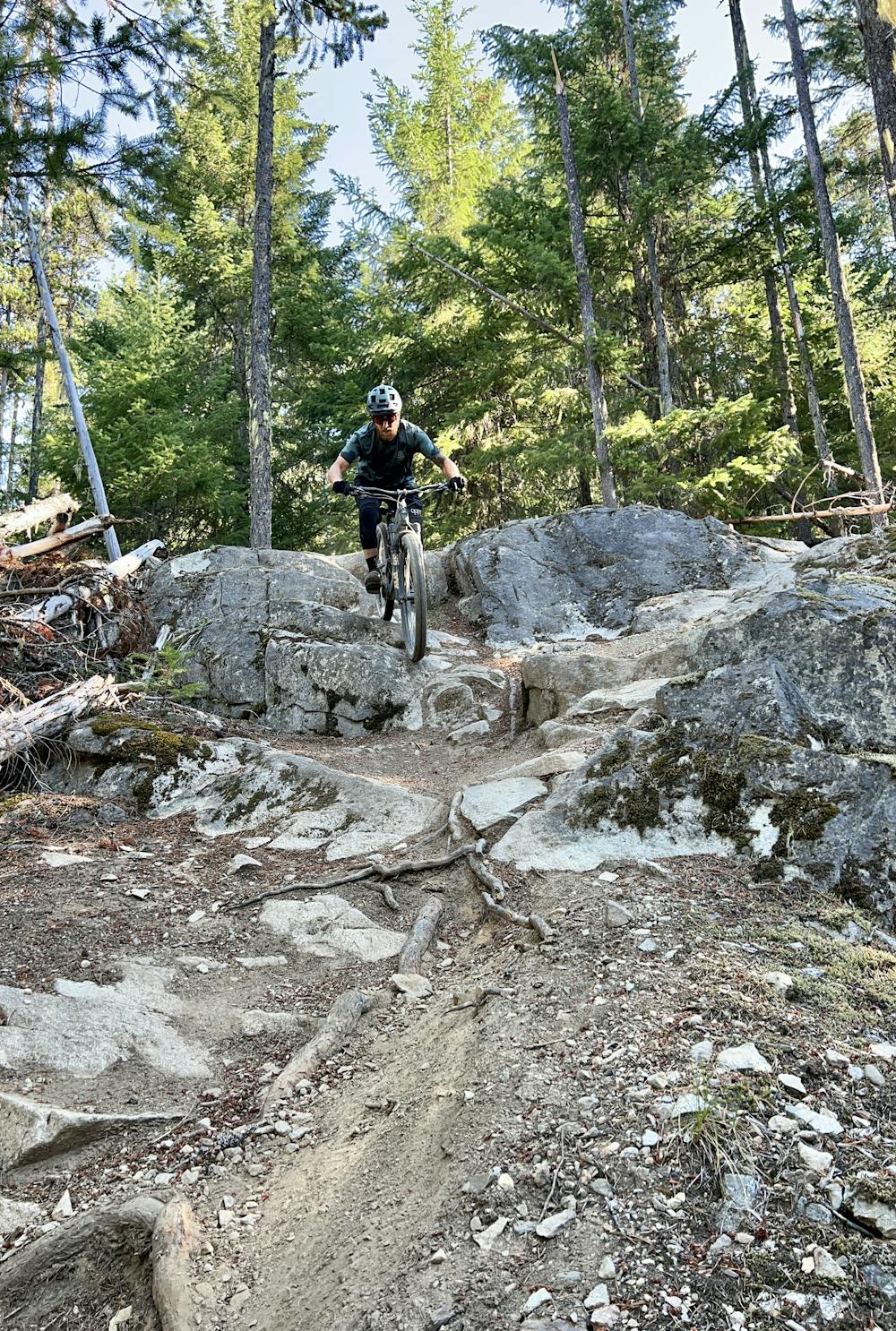
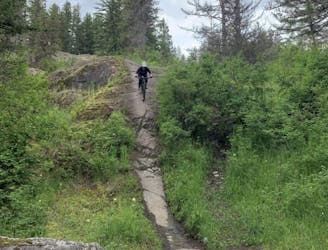
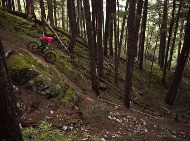
However you get to the top, Live Like Lisa begins by flowing along a climbing trail before dropping straight down the mountainside. This track is steep and deep, descending viciously fast down 2,100 vertical feet. You'll rarely get a chance to get off the brakes as tight turns funnel into steep rock features. There is one wide-open section in the middle where the route follows a doubletrack road grade before peeling back off onto singletrack, but that's an anomaly.
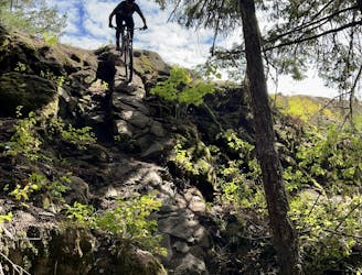
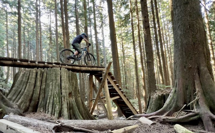
The myriad of rock features range from rugged rock gardens to steep chutes, rock rolls, rock slab faces, and mandatory hucks. In many places, you'll see alternate line options, allowing you to choose between a single black diamond or a double black diamond feature.
Compounding the trail's difficulty is the sometimes loose, sliding dirt and scree that can clog up the chutes, making for loose, rowdy conditions. Especially in the summer, expect to do a bunch of sliding around, but please: don't skid your tires and dig trenches into the trail. Ride smoothly and in control as much as possible.
As mentioned, there are many optional features on this trail which are definitely worthy of a double black diamond rating. But the trail's general steepness and technicality lead some people to give the entire ride a double black diamond rating. However, others (including some of the trail signs) only rate this as a single black diamond. In the grand scheme of mountain biking, I'm grading this as a "Severe" trail, with plenty of optional features and lines that exceed this rating, blasting into "Extreme" territory. This ride is what you make of it!
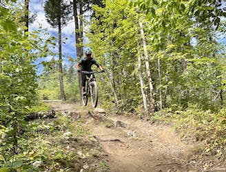
After finishing the descent, you'll have a few miles of mellow pedaling along the river to get back to the trailhead. This section of trail can sometimes get overgrown, but it's usually passable (unless the river is in flood stage).
Severe
Widely variable, narrow trail tread with steeper grades and unavoidable obstacles of 15in/38cm tall or less. Obstacles may include unavoidable bridges 24in/61cm wide or less, large rocks, gravel, difficult root sections, and more. Ideal for advanced-level riders.

The trail contains some obstacles such as outcroppings and rock which could cause injury.

Little chance of being seen or helped in case of an accident.
3.5 km away
This rugged ride is short but sweet!
Severe Mountain Biking
4.2 km away
Pembys best blue trails.
Difficult Mountain Biking
4.2 km away
This remote trail almost feels like a backcountry ride!
Severe Mountain Biking
4.2 km away
One of the best rock slab rips in British Columbia!
Severe Mountain Biking
4.2 km away
This is a classic Pemberton trail that's absolutely filled with rock features!
Extreme Mountain Biking
4.2 km away
A fast, flowy loop with some great jumps.
Difficult Mountain Biking
4.2 km away
A rad set of trails with some punchy climbs to access them!
Severe Mountain Biking
4.7 km away
This diverse group of trails offers a fun and easily-accessible Pemberton ride.
Severe Mountain Biking

25 routes · Mountain Biking
5 routes · Mountain Biking
7 routes · Mountain Biking
7 routes · Mountain Biking
14 routes · Mountain Biking
10 routes · Mountain Biking