8.7 km away
Pioneer -> Fizzy Pop -> Dog Beach Figure-8
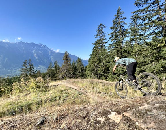
This diverse group of trails offers a fun and easily-accessible Pemberton ride.
Severe Mountain Biking
- Distance
- 6.3 km
- Ascent
- 261 m
- Descent
- 261 m
Ride slab after slab on one of South Rutherford's most technical downhill runs.
Mountain Biking Severe

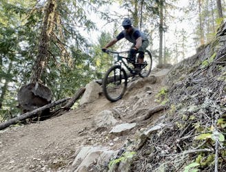
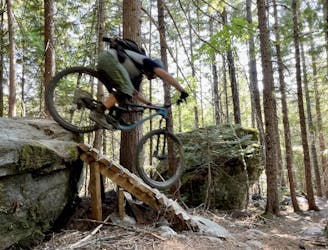
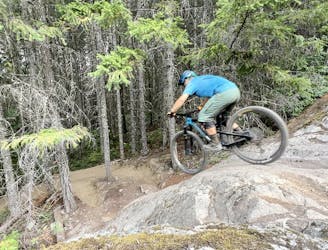
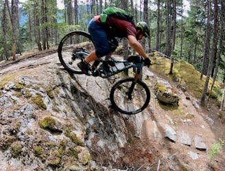
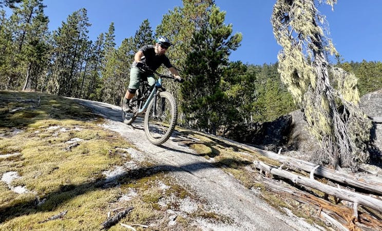
Ride slab after slab on one of South Rutherford's most acclaimed downhill runs, Upper PHD. This double black diamond of a ride has a pucker factor that exceeds any other trail around and to make it even more rowdy, narrow lines between the slabs make it hard to keep your flow. Scout any feature prior to riding and consider saving this ride for the driest of conditions.
Upper PHD is accessed from the top of the South Rutherford Access Road and ends further down the road. Continue onto Middle PHD if you don't want the fun to end!
Severe
Widely variable, narrow trail tread with steeper grades and unavoidable obstacles of 15in/38cm tall or less. Obstacles may include unavoidable bridges 24in/61cm wide or less, large rocks, gravel, difficult root sections, and more. Ideal for advanced-level riders.

Some trail sections have exposed ledges or steep ascents/descents where falling could cause serious injury.

Away from help but easily accessed.
8.7 km away
This diverse group of trails offers a fun and easily-accessible Pemberton ride.
Severe Mountain Biking
9.6 km away
This rugged ride is short but sweet!
Severe Mountain Biking
9.6 km away
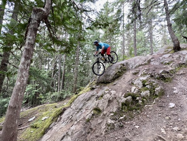
A slab-filled masterpiece!
Severe Mountain Biking
9.7 km away
A classic Whistler XC ride with a rewarding descent at the end.
Severe Mountain Biking
14 routes · Mountain Biking
7 routes · Mountain Biking
9 routes · Mountain Biking
10 routes · Mountain Biking