1 m away
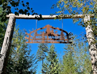
Meadow of the Grizzly -> Pseudo-Tsuga Loop
A stunning intermediate flow trail of epic proportions!
Moderate Mountain Biking
- Distance
- 16 km
- Ascent
- 876 m
- Descent
- 876 m
A top-tier flow trail descent with few jumps.
Mountain Biking Moderate

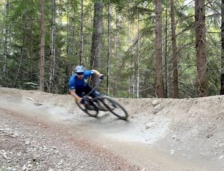
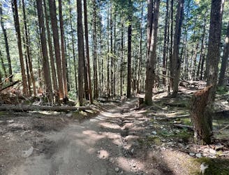
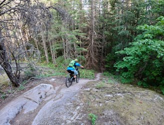
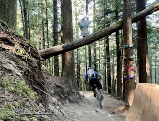
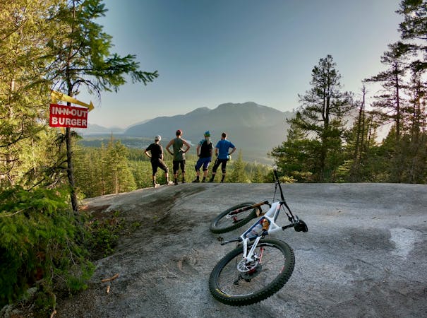
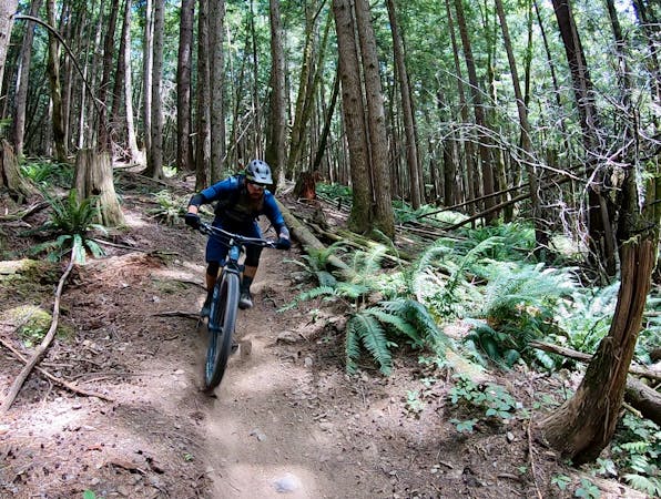
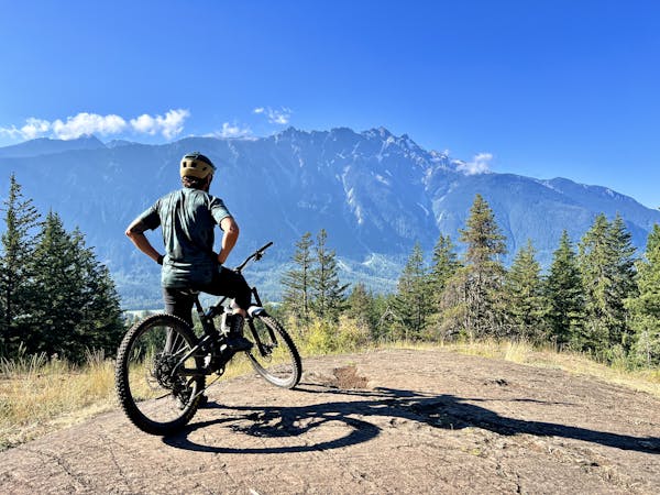
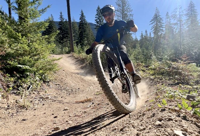
Pseudo-Tsuga is a top-tier flow trail that has held up exceedingly well to its fame and subsequent traffic over the years. This berm-filled descent offers a few small jumps, but it's definitely not as jump-focused as nearby Half Nelson. Instead, the trail experience here provides high-speed swoop and flow through the forest that's guaranteed to put a grin on your face.
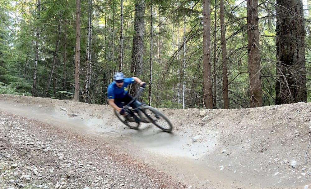
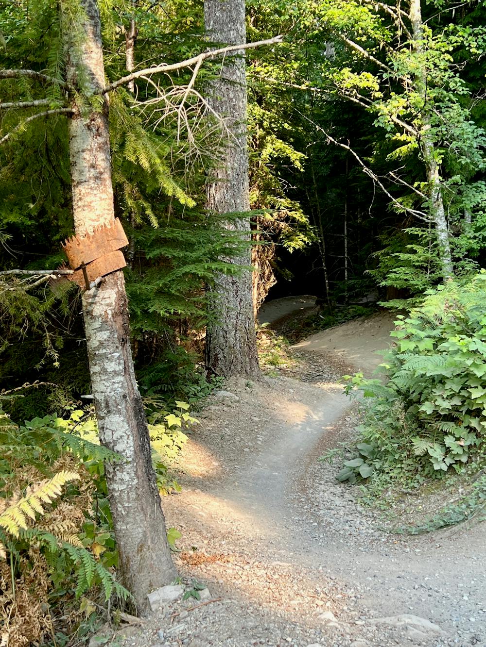
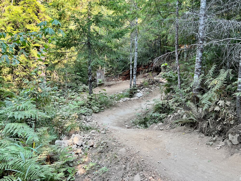
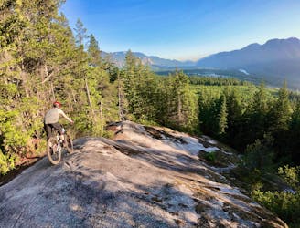
The trail tread consists of a consistent dirt tread that is superbly packed and manicured to provide a consistent, optimal ride experience throughout. In places where the trail passes over low ground, the tread has been elevated with fill dirt to keep it out of the wet and keep the track consistent throughout the entire ride. It's truly an incredible feat of engineering and a work of art.
This trail is such an absolute gem, and it's kind of incredible to think that Squamish has many other trails of similar quality to Pseudo-Tsuga just scattered across its forested mountainsides. The quality and caliber of this trail are higher than you'll find in most bike parks, and it's just out here, hidden in the heart of Squamish's expansive trail system.
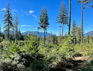
The route shown here is a short loop that climbs to the top of Pseudo-Tsuga and then descends this iconic flow trail back to the trailhead. Of course, there are numerous ways to build a longer route with this trail, including an epic loop or shuttle with Meadow of the Grizzly, or by combining it with the nearby ultra-famous Half Nelson. Fred -> Tinder -> Your Mom is another nearby route that could create a double-loop option. The sky is the limit when you're riding in Squamish!
Moderate
Mostly stable trail tread with some variability, with unavoidable obstacles 8in/20cm tall or less. Other obstacles such as rock gullies and steep sections may exist. Ideal for lower intermediate riders.

The path is on completely flat land and potential injury is limited to falling over.

Away from help but easily accessed.
1 m away
A stunning intermediate flow trail of epic proportions!
Moderate Mountain Biking
1 m away
Fred and Your Mom are a match made in cyberspace.
Severe Mountain Biking
2 m away
Despite leaving from the popular Diamond Head area, this loops feels quite remote.
Severe Mountain Biking
1.9 km away
One of the easiest trails in Squamish.
Moderate Mountain Biking
1.9 km away
Squamish is renowned for its slab riding, and this route connects many of the best-known slabs into one big ride.
Extreme Mountain Biking
1.9 km away
A fantastic flowy intermediate ride in the northwest corner of Alice Lake Provincial Park.
Difficult Mountain Biking
1.9 km away
One of the largest and most famous slabs in Squamish.
Severe Mountain Biking
1.9 km away
A pun-filled mountain bike ride in Squamish.
Difficult Mountain Biking
1.9 km away
A pair of top-tier jump lines tucked way back in the woods.
Moderate Mountain Biking
2.1 km away

A stunning intermediate flow trail of epic proportions!
Moderate Mountain Biking

25 routes · Mountain Biking
11 routes · Mountain Biking

16 routes · Mountain Biking

25 routes · Mountain Biking
4 routes · Mountain Biking
7 routes · Mountain Biking
14 routes · Mountain Biking