20 m away
Cattywumpus & Bear Bones
A nice way to link a couple of Rose Valley's lesser known trails
Severe Mountain Biking
- Distance
- 13 km
- Ascent
- 462 m
- Descent
- 462 m
2 Rose Valley classics which offer solitude, scenery and speed!
Mountain Biking Severe

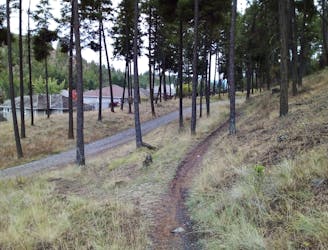
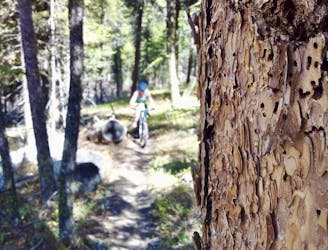
Taking you around the wild and beautiful Rose Valley Lake, and leading you down 2 great descents, this ride really does showcase what makes this area so special. There are several different ways of doing the route but we've drawn it from the parking lot just south of Rose Valley Elementary. Another option would be to do it from the Rosewood Drive parking lot, or do some riding on the road and make it a linear route.
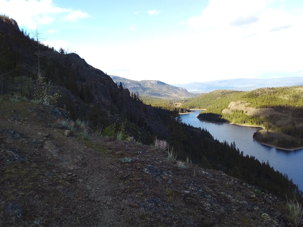

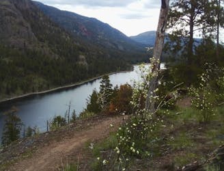
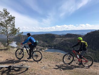
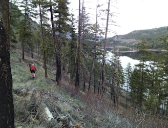
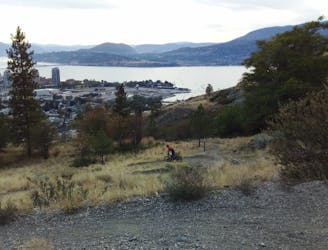
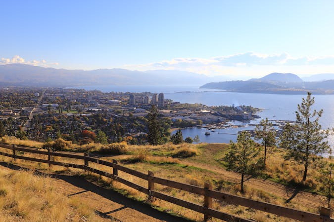
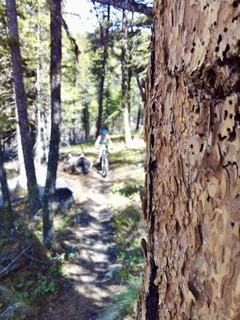
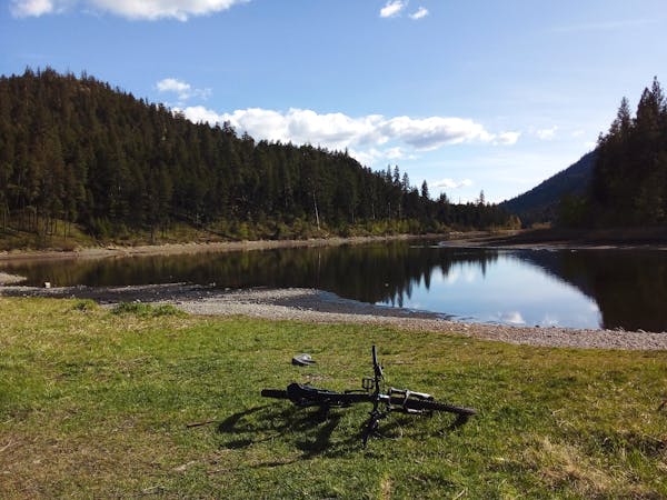
Assuming you start from the parking lot marked here, climb up to the very distinctive Rooster Tree, and then drop down the trail of the same name to reach the northern end of Rose Valley Lake. The riding down to the lake is steep in places, and traverses some exposed slopes, so don't rush it. Once at the lake, the feeling of peace is wonderful, and it can be hard to believe that there's a city just over the hill. Take some time to sit and enjoy the ambience before saddling up and riding the ever-enjoyable undulations of the classic Lake Loop.
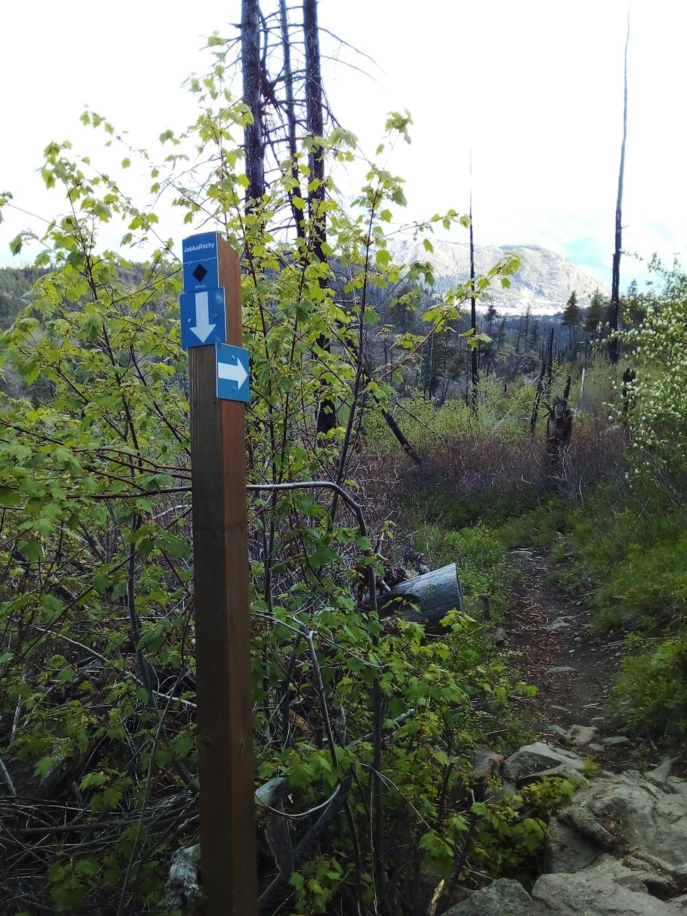
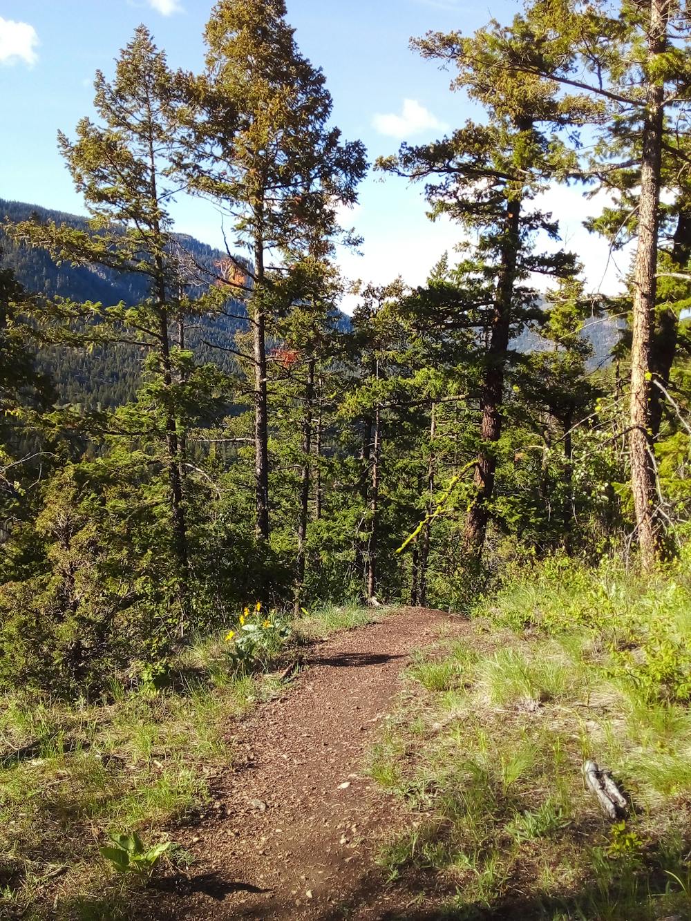
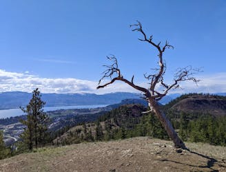
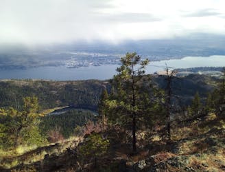
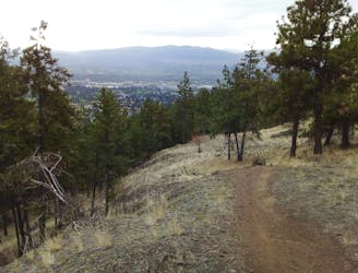
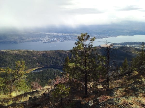
Lake Loop leads (via some sections towards the end which are too steep to ride and require some pushing) to an intersection with Daze of Roses. Turn right and climb the enjoyable upper section of Daze, taking in the huge panoramas which open up as you ascend. The climb leads easily up to the start of Jabbarocky, at which point the fun really begins! The trail is fast, furious and - hence the name - rocky. It's superb riding and despite the rocky nature of the track there's always a line to avoid the biggest obstacles, which makes the whole thing feel super satisfying.
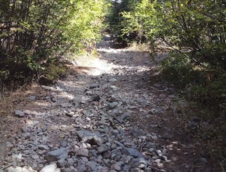
Towards the bottom of the trail you can branch off right and descend Rock Candy, a VERY steep and technical option reserved only for those who didn't find Jabbarocky hard enough! Most people stick with Jabbarocky all the way down and then climb back up to the parking lot via Silk 50 and Grant's Grind.
Severe
Widely variable, narrow trail tread with steeper grades and unavoidable obstacles of 15in/38cm tall or less. Obstacles may include unavoidable bridges 24in/61cm wide or less, large rocks, gravel, difficult root sections, and more. Ideal for advanced-level riders.

Some trail sections have exposed ledges or steep ascents/descents where falling could cause serious injury.
Little chance of being seen or helped in case of an accident.
20 m away
A nice way to link a couple of Rose Valley's lesser known trails
Severe Mountain Biking
1.2 km away
Link 2 of Rose Valley's best trails and enjoy some epic scenery en route.
Difficult Mountain Biking
1.3 km away
A scenic trip around a beautiful and wild-feeling lake
Difficult Mountain Biking
1.4 km away
A wonderful quick hit which feels much more remote than it really is.
Difficult Mountain Biking
1.9 km away
Rose Valley's classic long ride is well worth the hype!
Difficult Mountain Biking
1.9 km away
A wild, scenic and challenging ride into one of the finest parts of the Okanagan Valley.
Difficult Mountain Biking
5.5 km away
A great way to link 3 Knox Mountain trails in less than an hour.
Difficult Mountain Biking
5.5 km away
The classic evening hit for Kelowna's local bikers!
Difficult Mountain Biking
5.5 km away
A scenic and fun cruise around some Knox Mountain landmarks
Moderate Mountain Biking
7.1 km away
A fun and logical extension to the Smith Creek classics
Difficult Mountain Biking
3 routes · Mountain Biking
5 routes · Mountain Biking
7 routes · Mountain Biking · Hiking
4 routes · Mountain Biking
7 routes · Mountain Biking