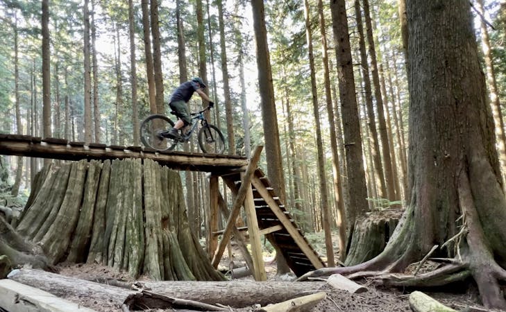
8.1 km away
Pioneer -> Fizzy Pop -> Dog Beach Figure-8
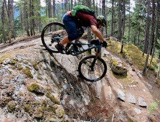
This diverse group of trails offers a fun and easily-accessible Pemberton ride.
Severe Mountain Biking
- Distance
- 6.3 km
- Ascent
- 261 m
- Descent
- 261 m
A short gravel connector to access the top of Shasta.
Mountain Biking Moderate

This is a popular mountain biking route which is generally considered to be moderate. It's remote, it features low exposure and is typically done between May and October. From a low point of 672 m to the maximum altitude of 828 m, the route covers 1.4 km, 156 vertical metres of ascent and 0 vertical metres of descent.
Use this section of gravel doubletrack to link the main South Rutherfordton Access Road to the top of Shasta.
Moderate
Mostly stable trail tread with some variability, with unavoidable obstacles 8in/20cm tall or less. Other obstacles such as rock gullies and steep sections may exist. Ideal for lower intermediate riders.

The path is on completely flat land and potential injury is limited to falling over.

Away from help but easily accessed.
8.1 km away
This diverse group of trails offers a fun and easily-accessible Pemberton ride.
Severe Mountain Biking
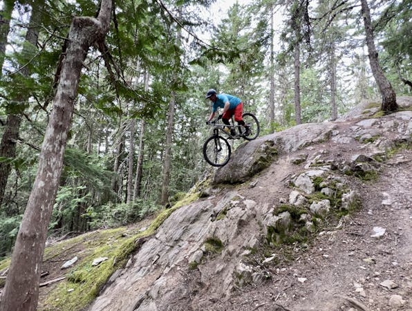
9 km away
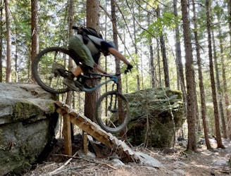
This rugged ride is short but sweet!
Severe Mountain Biking
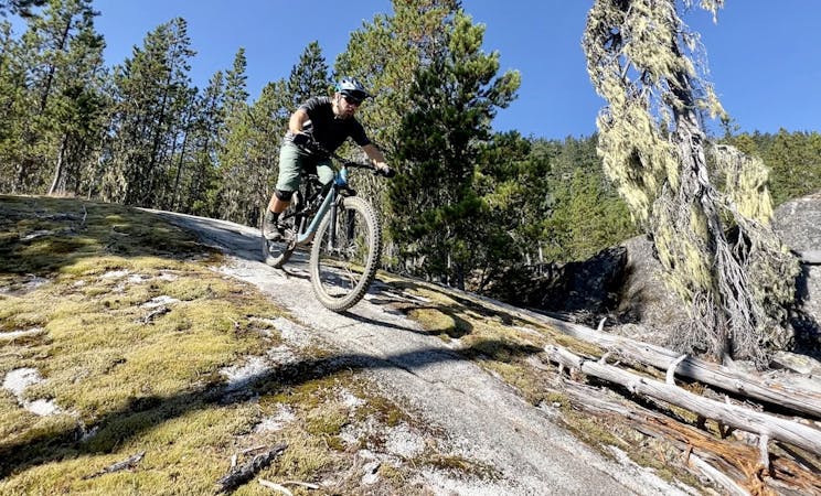
9.6 km away
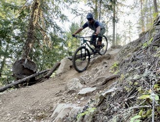
A slab-filled masterpiece!
Severe Mountain Biking
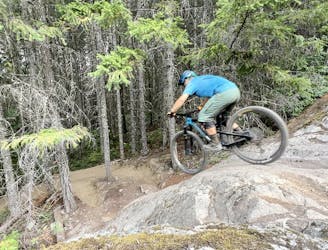
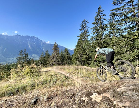
9.9 km away
A classic Whistler XC ride with a rewarding descent at the end.
Severe Mountain Biking
14 routes · Mountain Biking
7 routes · Mountain Biking
9 routes · Mountain Biking
10 routes · Mountain Biking