8.6 km away
Pioneer -> Fizzy Pop -> Dog Beach Figure-8
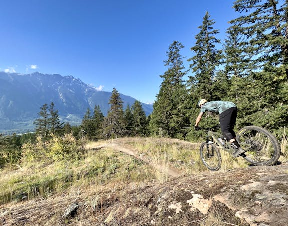
This diverse group of trails offers a fun and easily-accessible Pemberton ride.
Severe Mountain Biking
- Distance
- 6.3 km
- Ascent
- 261 m
- Descent
- 261 m
An intermediate downhill run and South Rutherford classic.
Mountain Biking Difficult

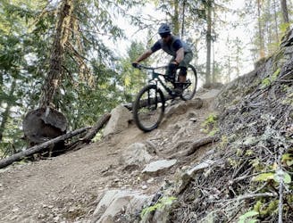
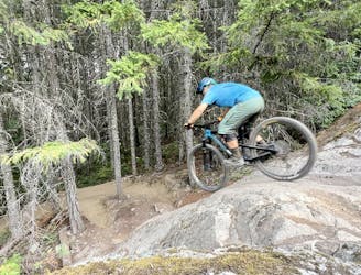
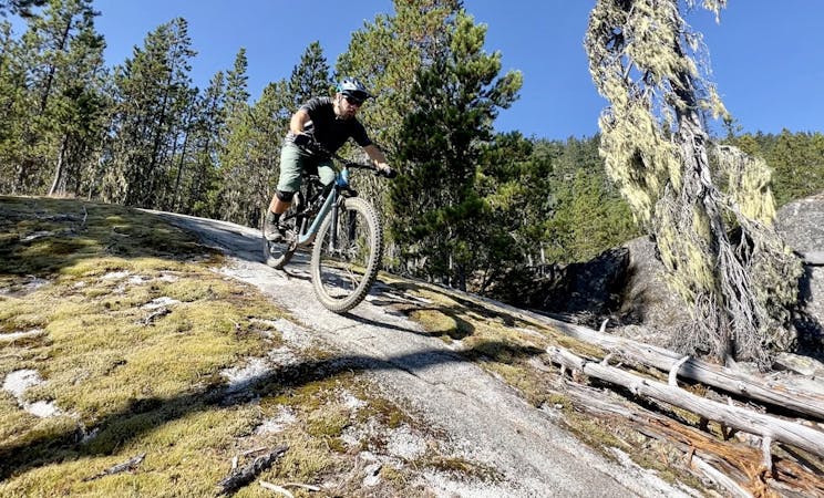
Shasta is one of the classic South Rutherford downhill runs and arguably the least difficult when compared to PHD, Whiskey in the Jar, The 'stache and definitely Diesel Wolf (known for an epic gap over an active railroad track). The trail is mostly open and fast with a few rock gardens and kickers to keep things interesting.
The top of the trail can be accessed from a gravel road that spurs off the main South Rutherford access road. The trail's end offers access to several of the lower runs in the area.
Difficult
Mostly stable trail tread with some variability featuring larger and more unavoidable obstacles that may include, but not be limited to: bigger stones, roots, steps, and narrow curves. Compared to lower intermediate, technical difficulty is more advanced and grades of slopes are steeper. Ideal for upper intermediate riders.

The trail contains some obstacles such as outcroppings and rock which could cause injury.
Away from help but easily accessed.
8.6 km away
This diverse group of trails offers a fun and easily-accessible Pemberton ride.
Severe Mountain Biking
8.8 km away
A slab-filled masterpiece!
Severe Mountain Biking
9.1 km away
A classic Whistler XC ride with a rewarding descent at the end.
Severe Mountain Biking
9.7 km away
This rugged ride is short but sweet!
Severe Mountain Biking
14 routes · Mountain Biking
7 routes · Mountain Biking
9 routes · Mountain Biking
10 routes · Mountain Biking