520 m away
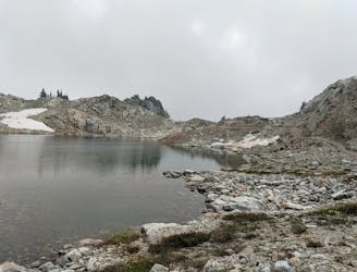
Comfortably Numb
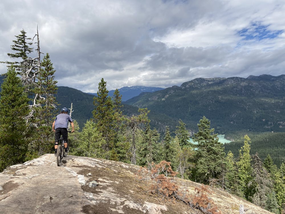
The must-do XC epic in the Whistler valley
Severe Mountain Biking
- Distance
- 31 km
- Ascent
- 1 km
- Descent
- 1 km
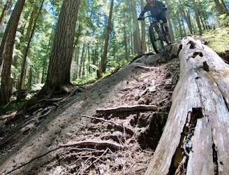
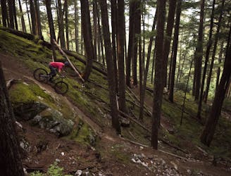
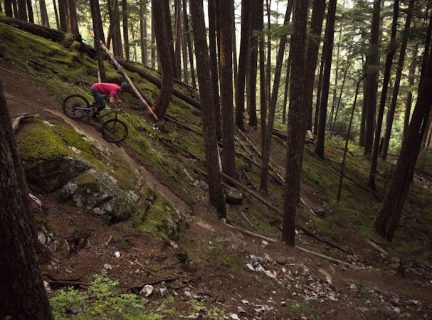
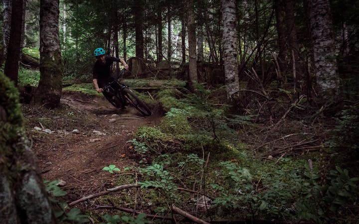
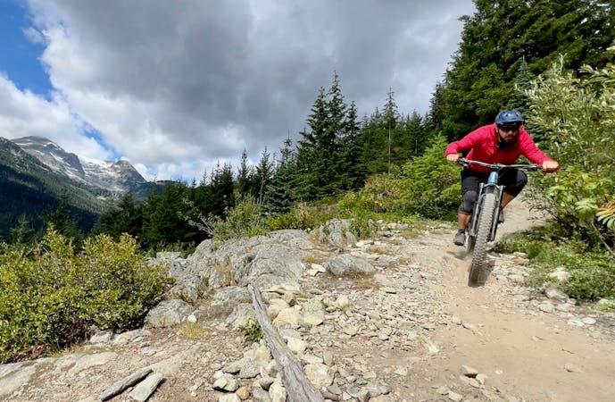
Whistler's worst kept secret trail is now on the map!
Mountain Biking Difficult

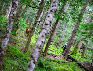
Once a secret trail, it’s now officially on the map for everyone to find, and you’ll be glad it is!! What a beauty!!
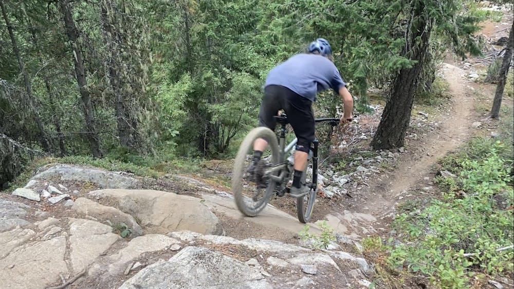
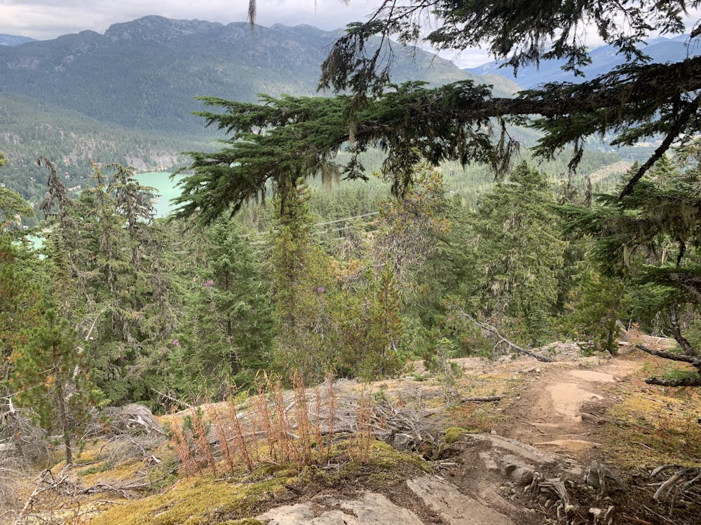
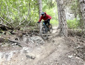
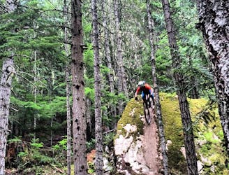
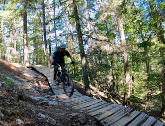
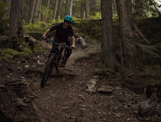
You get plenty of trail after a lot of tech climbing to get there (so bring your fitness). It’s a black trail, suitable for all weathers. There are ride-arounds for all of the harder features. It was built by the same trail builder as Out There but with more chill features that link up together with more flow.
The trail consists of many fun (not too intimidating) slabs! There are about 3 or 4 gnarlier rock features but all have ride-arounds so easy to avoid and save them for the future.
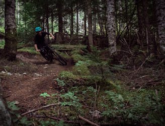
There are a couple of techy corners and areas of high exposure but it’s a trail that rewards you for looking ahead to keep momentum where you need to and find smooth or creative lines, depending on your ability.
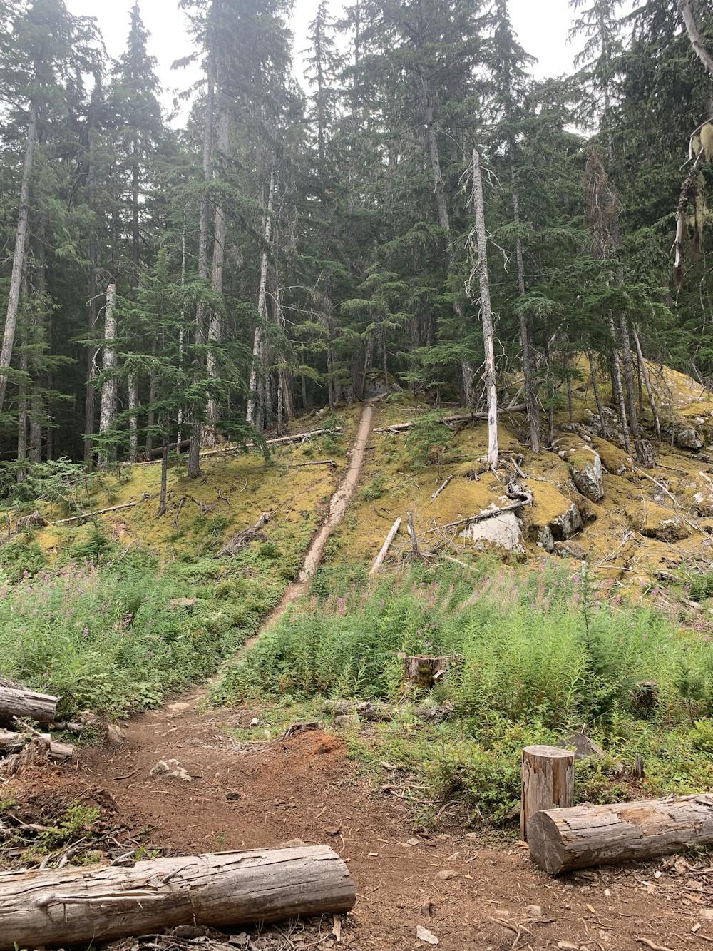
FYI there are other ways of accessing the trail- Wish You Were Here makes for a shorter & steeper climb, but Yummy Numby is a classic Whistler ascent, which makes for a more pleasant, meandering techy climb.
If you found this useful, check out www.worththepedal.com for realistic trail expectations in the Sea to Sky network.
Difficult
Mostly stable trail tread with some variability featuring larger and more unavoidable obstacles that may include, but not be limited to: bigger stones, roots, steps, and narrow curves. Compared to lower intermediate, technical difficulty is more advanced and grades of slopes are steeper. Ideal for upper intermediate riders.

Some trail sections have exposed ledges or steep ascents/descents where falling could cause serious injury.

Away from help but easily accessed.
520 m away
The must-do XC epic in the Whistler valley
Severe Mountain Biking
1.6 km away
A classic rock-filled descent with stunning views up high.
Severe Mountain Biking
1.6 km away
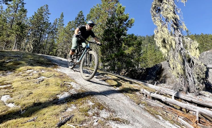
Whistler's top rock slab ride!
Extreme Mountain Biking
1.6 km away
The easiest singletrack trails in Whistler.
Difficult Mountain Biking
1.6 km away
Fantastic deep, dark singletrack and steep rock slabs make Micro Climate a local favorite.
Severe Mountain Biking
1.8 km away
A true Blackcomb Classic.
Severe Mountain Biking
1.8 km away
Classic Enduro stage on Blackcomb Mountain.
Difficult Mountain Biking
2 km away
The trail of all trails!!! Created by a genius.
Severe Mountain Biking
2.1 km away
Epic intermediate loop from Whistler Valley to Mt Sproatt and back.
Difficult Mountain Biking
2.5 km away
Rowdy EWS race route on Blackcomb Mountain.
Extreme Mountain Biking
14 routes · Mountain Biking

16 routes · Mountain Biking

25 routes · Mountain Biking
5 routes · Mountain Biking
5 routes · Mountain Biking
7 routes · Mountain Biking
9 routes · Mountain Biking
10 routes · Mountain Biking
6 routes · Mountain Biking
14 routes · Mountain Biking