321 m away
Bellachat Skiers Left

Classic wide couloir of the Aravis
Difficult Freeride Skiing
- Distance
- 3.1 km
- Ascent
- 6 m
- Descent
- 993 m

Long and varied
Freeride Skiing Difficult

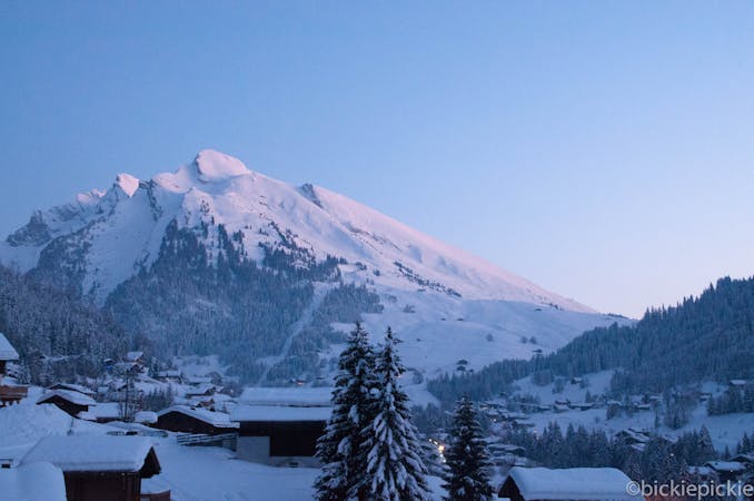
Start at the top of Col de Balme and follow the red piste to the far skier's right and keep traversing until under the cliffs. Follow the cliff line during the descent. The top section next to the piste is long and flowing in good conditions but quickly gets bumpy after a few days without snow. As you return to the blue piste that loops back to the chairlift, continue straight down. Here attention is needed as there are cliffs and drops. Unadvisable in foggy conditions or low visibility. When the cliff band stops moves to the right, continue on the fall line and aim for a natural gully. Arrive at the bottom section. Be aware of rocks under the surface of the snow. Return to the La Balme Telecabine.
Difficult
Serious gradient of 30-38 degrees where a real risk of slipping exists.
321 m away

Classic wide couloir of the Aravis
Difficult Freeride Skiing
625 m away

Classic wide couloir of the Aravis
Difficult Freeride Skiing
1.1 km away

Open fields
Difficult Freeride Skiing
1.2 km away

Short but sweet
Difficult Freeride Skiing
2.5 km away

Entry into a classic bowl
Difficult Freeride Skiing
2.5 km away

Large couloir with little effort
Moderate Freeride Skiing
5.6 km away

Long, flowing ride
Difficult Freeride Skiing
5.7 km away

Flowing meadows
Moderate Freeride Skiing
6.3 km away

Gentle Meadows
Moderate Freeride Skiing

9 routes · Freeride Skiing