885 m away
Bellachat Skiers Right

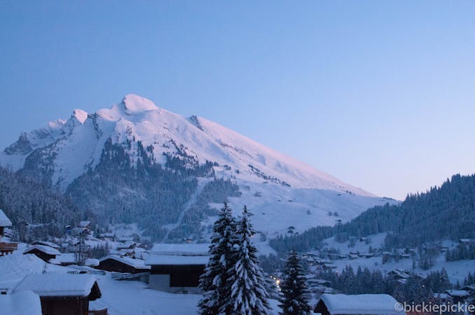
Classic wide couloir of the Aravis
Difficult Freeride Skiing
- Distance
- 4.7 km
- Ascent
- 127 m
- Descent
- 1.3 km
Open fields
Freeride Skiing Difficult

From the top of the Tochere button lift, walk right (boot pack or side step) towards the base of a ridge. Boot back up this to this ridge and follow up to the main ridge line of the Aravis. From here, either boot back across the ridge or ski just below it (snow dependent). Arrive at pass which allows access onto the south face of the mountain. Traverse on skis/board across until you are just below the large pass back to the northern slopes. Boot back up (care should be taken here as rocky). Descend open fields using all terrain. Near bottom, keep right to avoid flat bowl and then head skiers left after small knoll. Head down and left through some scattering of trees until arrival back at piste.
Difficult
Serious gradient of 30-38 degrees where a real risk of slipping exists.

In case of a fall, death is highly likely.
Little chance of being seen or helped in case of an accident.
885 m away
Classic wide couloir of the Aravis
Difficult Freeride Skiing
1 km away

Short but sweet
Difficult Freeride Skiing
1.1 km away

Long and varied
Difficult Freeride Skiing
1.5 km away

Classic wide couloir of the Aravis
Difficult Freeride Skiing
1.7 km away

Entry into a classic bowl
Difficult Freeride Skiing
1.7 km away

Large couloir with little effort
Moderate Freeride Skiing
4.6 km away

Long, flowing ride
Difficult Freeride Skiing
4.7 km away

Flowing meadows
Moderate Freeride Skiing
7.2 km away

Gentle Meadows
Moderate Freeride Skiing
9 routes · Freeride Skiing