163 m away
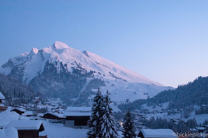
Happy Valley

Flowing meadows
Moderate Freeride Skiing
- Distance
- 622 m
- Ascent
- 9 m
- Descent
- 169 m
Long, flowing ride
Freeride Skiing Difficult

From the top of Belevdere lift boot pack up towards the avalanche canon. Carry on past this and follow the ridge up towards the small Pisteur's hut. At this pass/plateau, simply drop into the large couloir for the start of the line. Towards the end, some trees appear. Keep to the skier's right to enable you to get back to the pistes.
Difficult
Serious gradient of 30-38 degrees where a real risk of slipping exists.

Exposure is limited to that of the slope itself. Getting hurt is still likely if the slope is steep and/or the snow is hard.

Little chance of being seen or helped in case of an accident.
163 m away
Flowing meadows
Moderate Freeride Skiing
3.1 km away

Large couloir with little effort
Moderate Freeride Skiing
3.1 km away

Entry into a classic bowl
Difficult Freeride Skiing
4.5 km away

Short but sweet
Difficult Freeride Skiing
4.6 km away

Open fields
Difficult Freeride Skiing
5.5 km away

Classic wide couloir of the Aravis
Difficult Freeride Skiing
5.6 km away

Long and varied
Difficult Freeride Skiing
5.8 km away

Classic wide couloir of the Aravis
Difficult Freeride Skiing
9.6 km away

Gentle Meadows
Moderate Freeride Skiing
9 routes · Freeride Skiing