7.5 km away
Alpage Respect
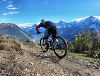
The primary downhill trail at Les Houches.
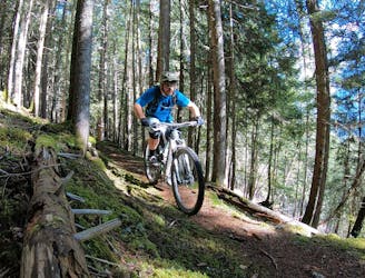
Difficult Mountain Biking
- Distance
- 5.9 km
- Ascent
- 21 m
- Descent
- 846 m
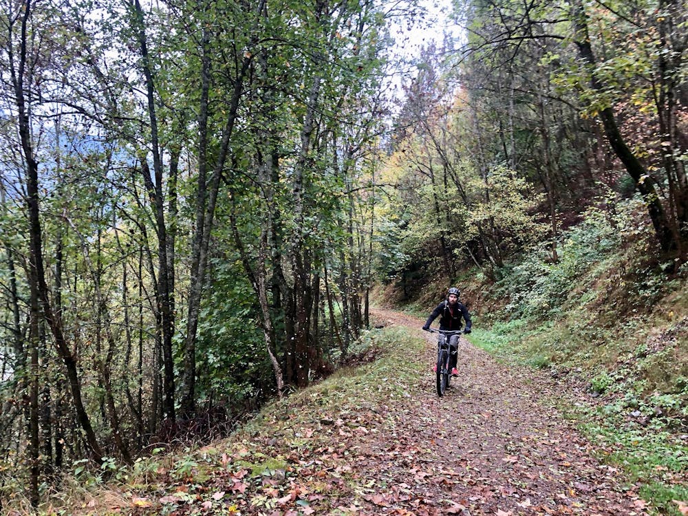
The shortest leg of the Tour du Mont Blanc along green forest trails.
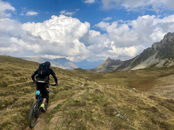
Mountain Biking Easy

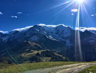
The Tour du Mont Blanc, also known as the TMB, is one of the most popular long-distance hikes in the world. The route circles the entire Mont Blanc Massif, which rises to a height of 4,808 meters above sea level—the highest point in Western Europe and the European Union. The hiking route covers "a distance of roughly 170 kilometres (110 mi) with 10 kilometres (6.2 mi) of ascent/descent and passes through parts of Switzerland, Italy and France,” according to Wikipedia.
While the TMB doesn’t climb to the summit of Mont Blanc, the route climbs up and over numerous high alpine passes, providing stunning views in all directions! Thanks to a well-developed system of huts, along with towns and hotels along the route, there are numerous options for staying overnight and resupplying as you journey around the loop.
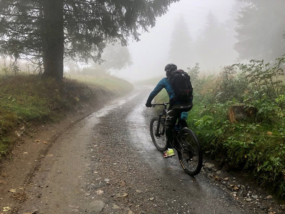
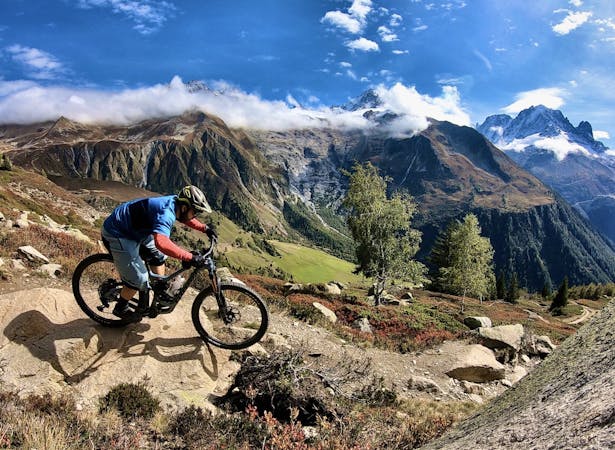
Unlike the hiking version of the TMB, the mountain biking version of this route isn’t nearly as well defined. Instead, riders can choose from numerous route variants. For this variant we tried to optimise for maximum time in the saddle, and minimum time carrying your bike. This means the tour has several longer segments of paved road, particularly on the climbs.
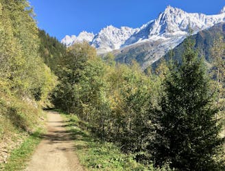
Start this segment of the tour in Les Contamines. Continue on the main road down the valley to La Villette. From here, you'll start the one big climb for the day.
The trail goes right into dense pine forest. Continue up to the lift station at Gare du Col de Voza.
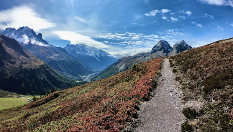
The descent follows the access roads for the ski resort down to Les Chavants. From here, you'll take a short road section to Les Houches, where you'll cross the major highway and start the final stretch to Chamonix along the hiking trail through the valley.
Easy
Mostly smooth and non-technical singletrack with unavoidable obstacles 2in/5cm tall or less. Avoidable obstacles may be present. Ideal for beginner riders.

The path is on completely flat land and potential injury is limited to falling over.
Close to help in case of emergency.
7.5 km away
The primary downhill trail at Les Houches.
Difficult Mountain Biking
9.2 km away
If you have a motor on your bike, or you prefer to just do things the hard way, loop Alpage Respect with this route.
Difficult Mountain Biking
9.2 km away
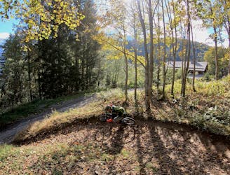
An ambitious lollipop route that crosses le Prarion ridge twice.
Easy Mountain Biking
9.7 km away
A mellow ride up and down the Chamonix valley that's mostly on gravel.
Easy Mountain Biking
9.7 km away
Mostly smooth, flowy singletrack trails rolling through deep forests.
Moderate Mountain Biking
4 routes · Mountain Biking
14 routes · Mountain Biking
5 routes · Mountain Biking