709 m away
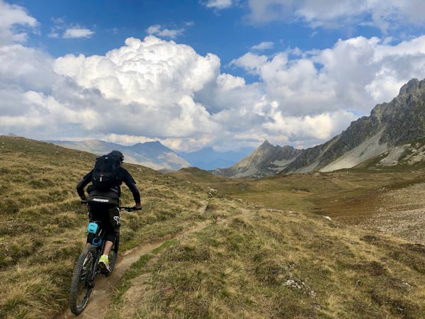
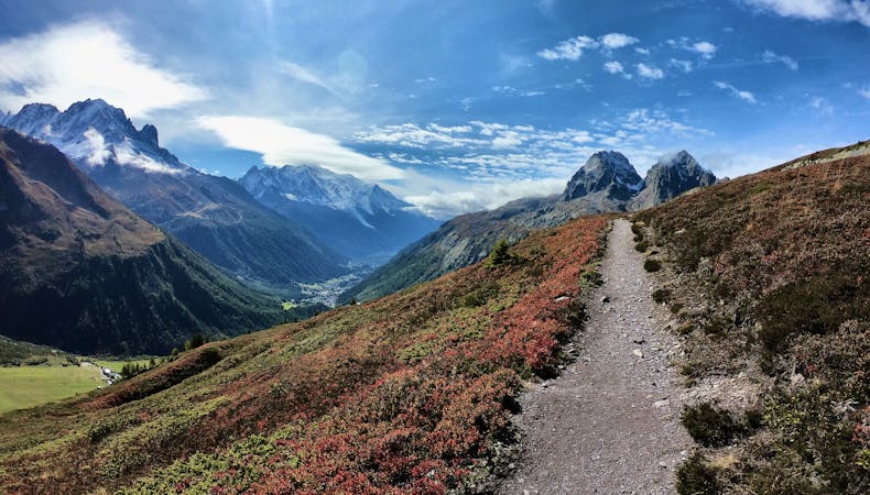
Tour du Mont Blanc: Les Contamines to Chamonix
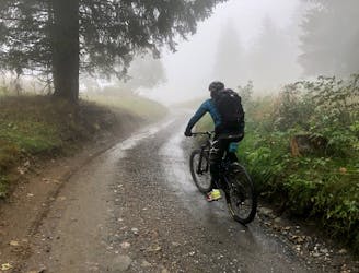
The shortest leg of the Tour du Mont Blanc along green forest trails.
Easy Mountain Biking
- Distance
- 27 km
- Ascent
- 1 km
- Descent
- 1.2 km
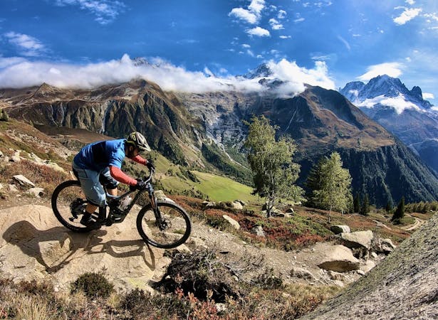
This ride gives a technically easy but long and strenuous route around Mont-Joly.
Mountain Biking Moderate

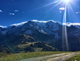
Most of the route is on 4x4 tracks, a few sections of single and two long climbs on tarmac. The views are stunning - across to the Aravis and Mont Blanc range.
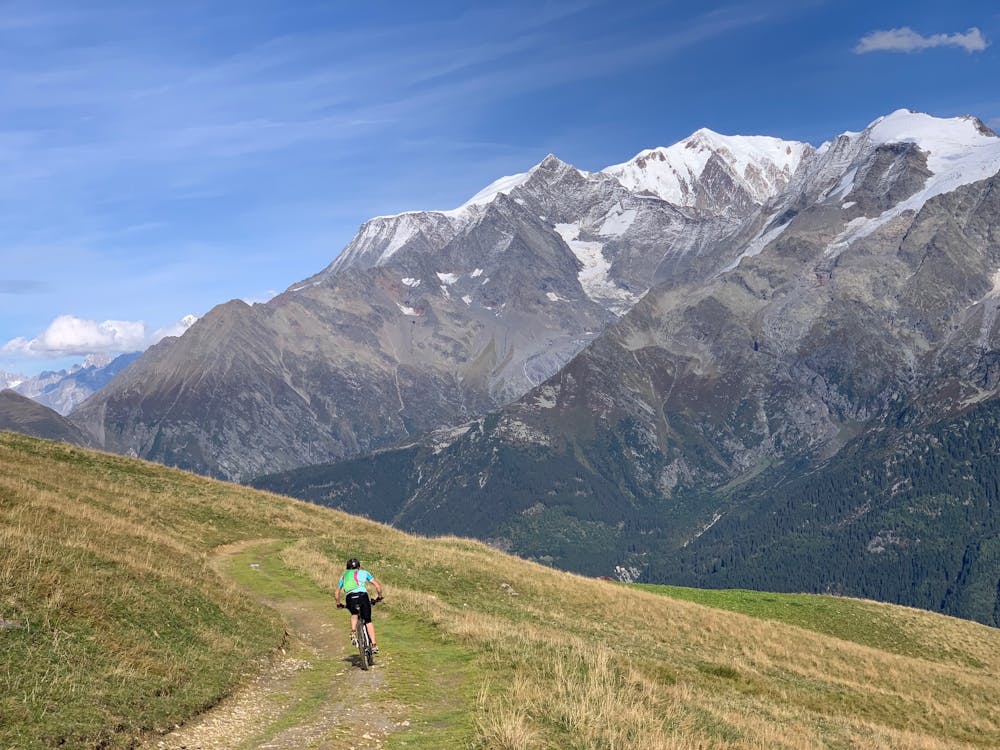
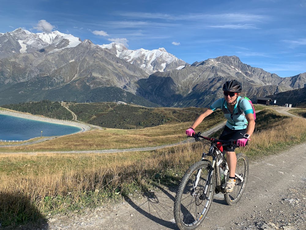
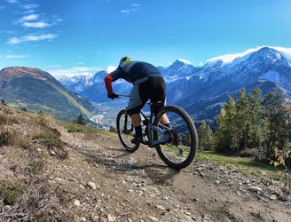
The riding is technically easy except the descent from Col du Joly (could be slippy when moist) and from 'Hermance' towads Megeve (fun and rooty).
The route can be started anywhere on the tour - Contamines, Bettex or Megeve seem like good places to start though. The tour is best anti-clockwise to have most technical descents and climbs on road.
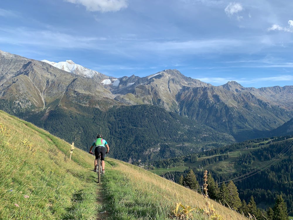
Almost all rideable, just a few hundred metres of trail that are a little too steep to ride up comfortably...
option : from Col de Véry follow GRP path directly to Col Joly - very technical
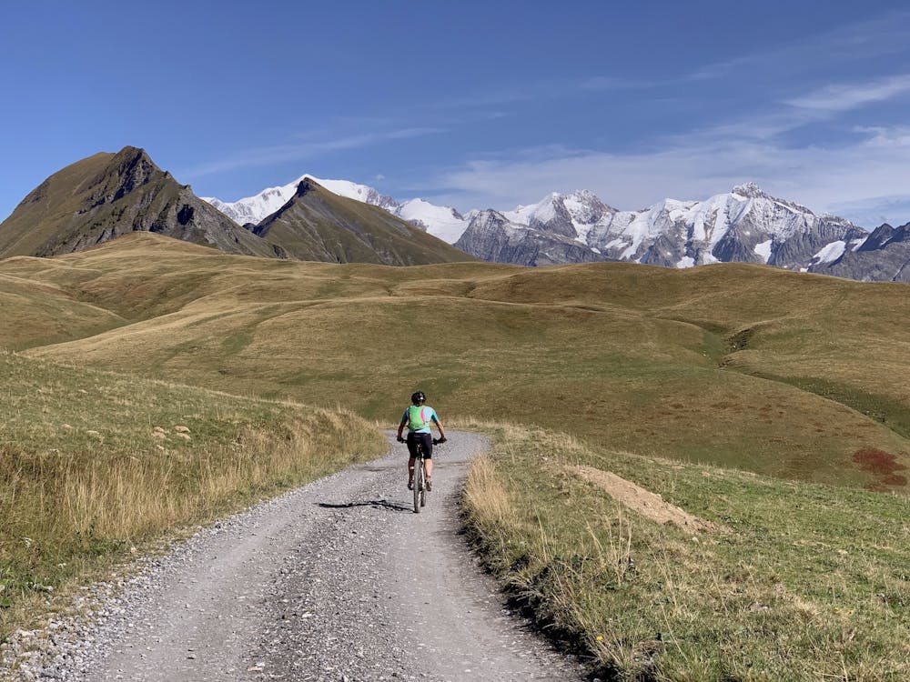
Moderate
Mostly stable trail tread with some variability, with unavoidable obstacles 8in/20cm tall or less. Other obstacles such as rock gullies and steep sections may exist. Ideal for lower intermediate riders.

The trail contains some obstacles such as outcroppings and rock which could cause injury.

Close to help in case of emergency.
709 m away
The shortest leg of the Tour du Mont Blanc along green forest trails.
Easy Mountain Biking
8.2 km away
The primary downhill trail at Les Houches.
Difficult Mountain Biking
9.8 km away
If you have a motor on your bike, or you prefer to just do things the hard way, loop Alpage Respect with this route.
Difficult Mountain Biking
9.8 km away
An ambitious lollipop route that crosses le Prarion ridge twice.
Easy Mountain Biking
4 routes · Mountain Biking
14 routes · Mountain Biking
5 routes · Mountain Biking