679 m away
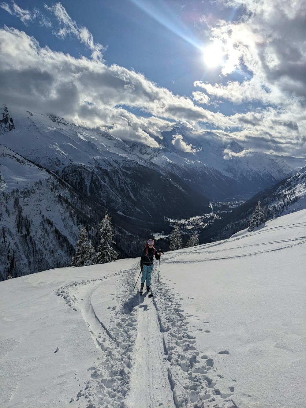
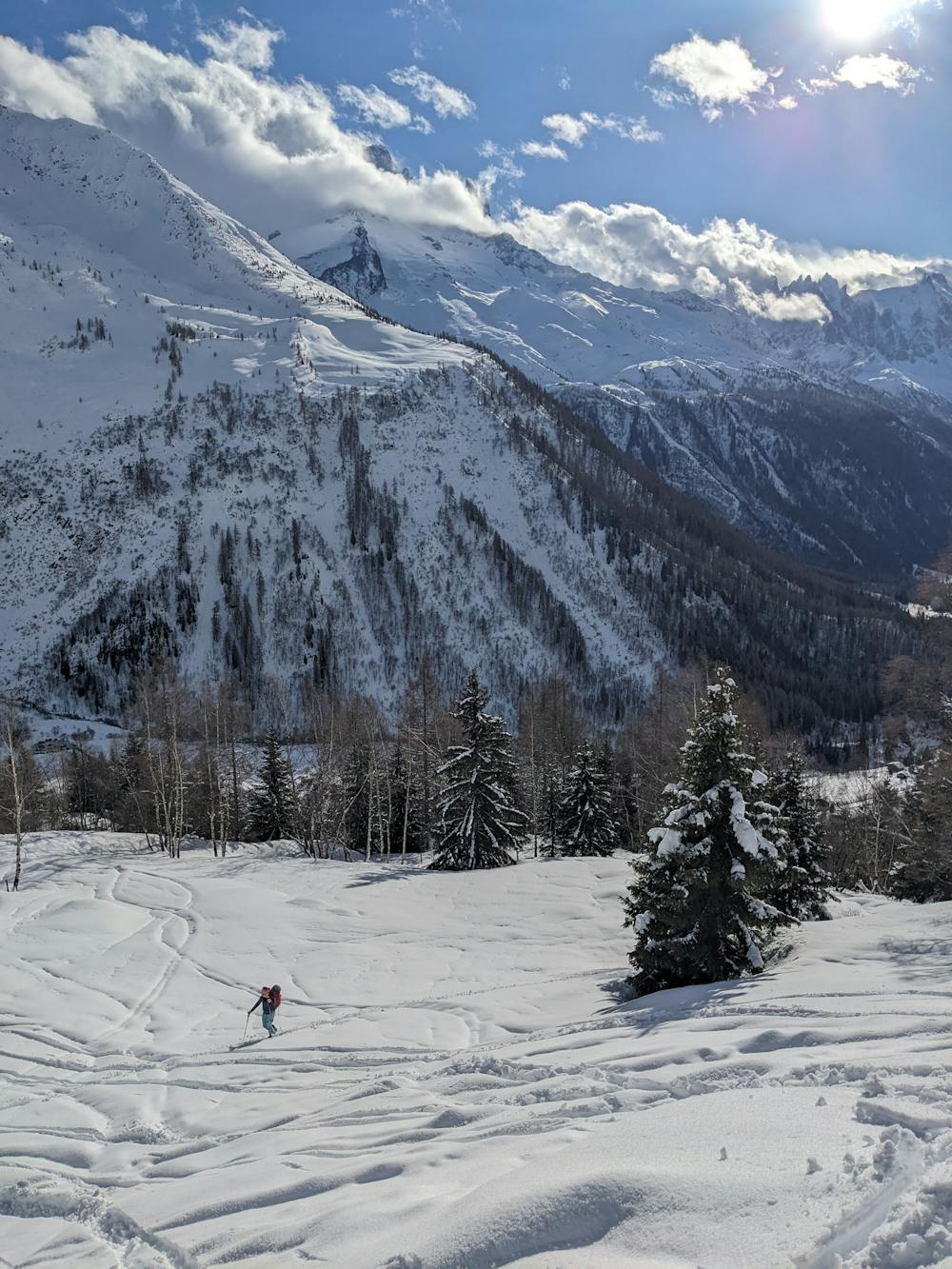
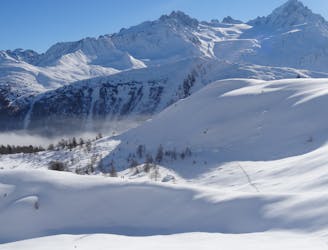
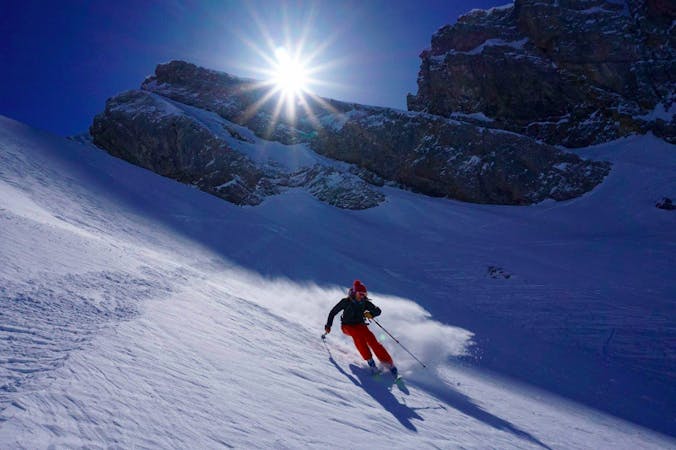
Aiguillette des Posettes
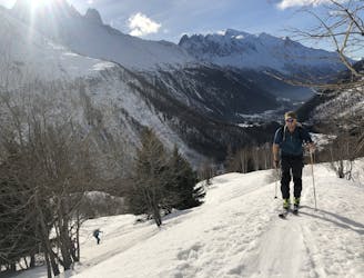
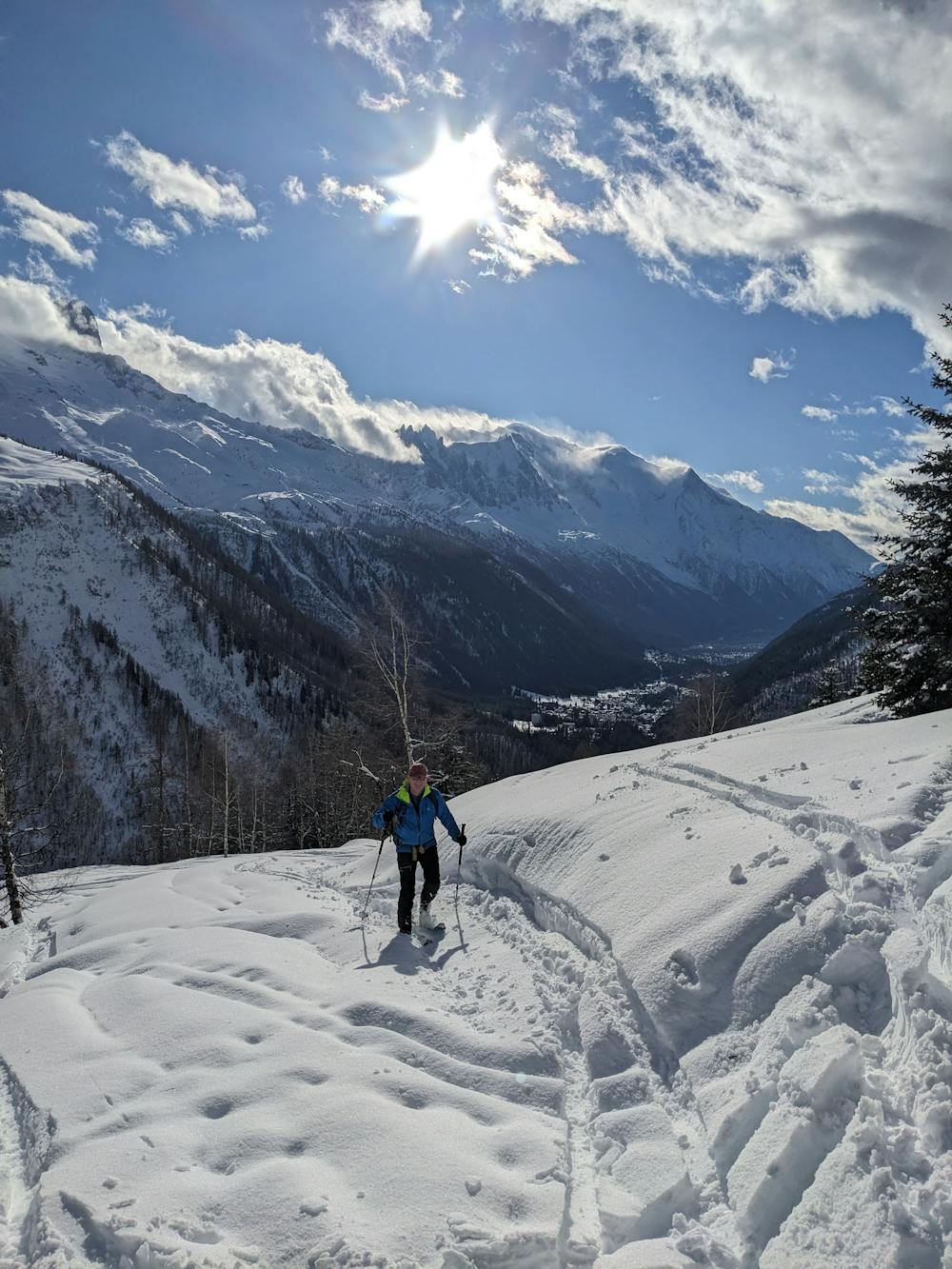
A relatively easy tour to great views. Mostly worthwhile for the up hill journey away from the crowds.
Moderate Ski Touring
- Distance
- 4.5 km
- Ascent
- 721 m
- Descent
- 237 m
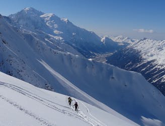
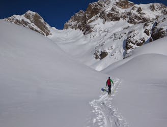
1er tiers à l'instinct dans la forêt, parfois un peu raide et paumatoire mais jamais difficile. 2 ruisseaux à traverser pour rejoindre la trace principale qui amène facilement jusqu'à la crête sommitale. Derniers 100m à pied
Ski Touring Moderate
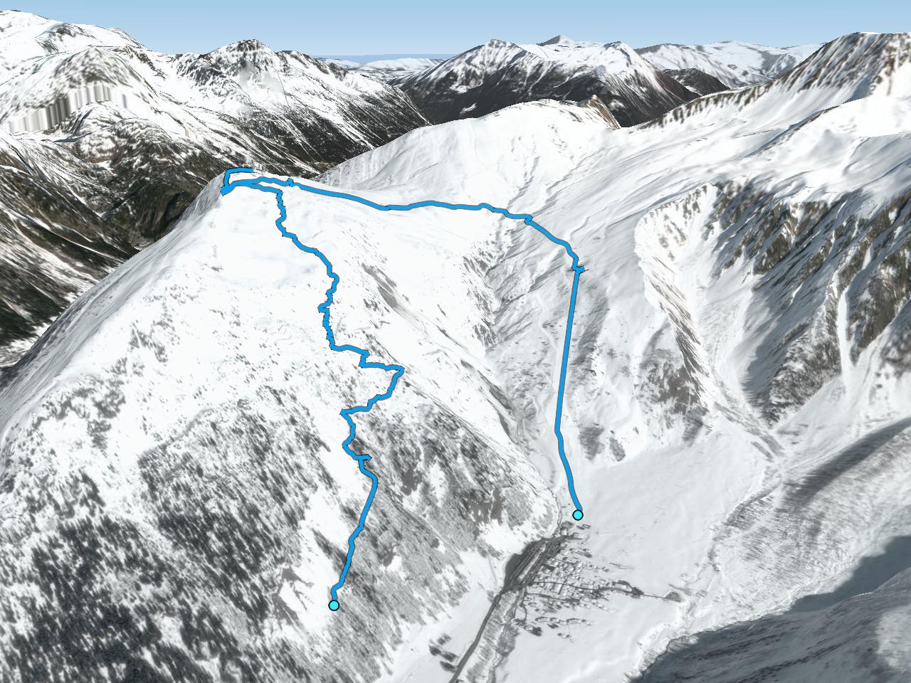
This is a popular ski touring route which is generally considered to be moderate. It's not remote, it features low exposure (e1) and is typically done between January and March. From a low point of 1.5 km to the maximum altitude of 2.2 km, the route covers 7.4 km, 722 vertical metres of ascent and 741 vertical metres of descent.
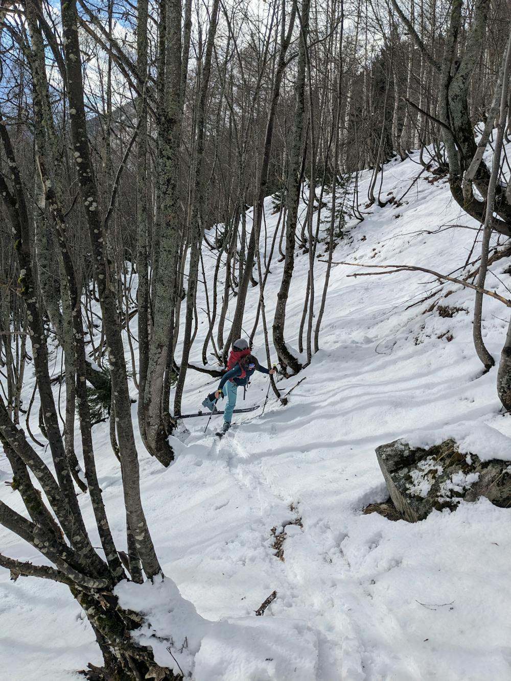
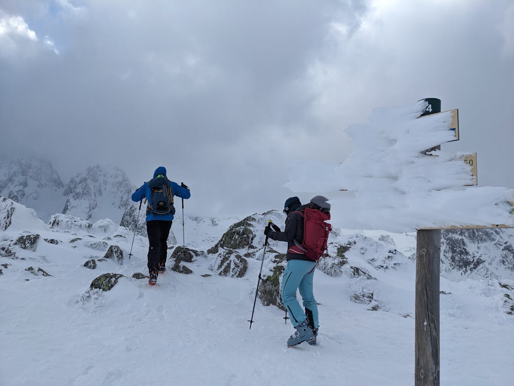
1er tiers à l'instinct dans la forêt, parfois un peu raide et paumatoire mais jamais difficile. 2 ruisseaux à traverser pour rejoindre la trace principale qui amène facilement jusqu'à la crête sommitale. Derniers 100m à pied
Moderate
Slopes become slightly steeper at around 25-30 degrees.

Exposure is limited to that of the slope itself. Getting hurt is still likely if the slope is steep and/or the snow is hard.
Close to help in case of emergency.
679 m away
A relatively easy tour to great views. Mostly worthwhile for the up hill journey away from the crowds.
Moderate Ski Touring
2 km away
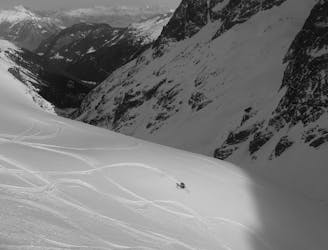
A beautiful and STEEP north face in the Aiguilles Rouges massif
Extreme Ski Touring
2.8 km away
A beautiful ski tour which features some fabulous terrain in a wild location.
Difficult Ski Touring
3.2 km away
A big adventure through some huge terrain
Severe Ski Touring
3.6 km away
A short climb gives access to a pleasing descent into the neighbouring Trient valley
Difficult Ski Touring
3.9 km away
A superb variant, accessed from Le Buet or via the Col de Beugeant descent.
Difficult Ski Touring
4.5 km away
One of the classic tours of the Agiuille Rouge with a short section of exposed climbing
Difficult Ski Touring
5.9 km away
A good introduction to Chamonix ski touring which nonetheless features a short bootpack and an exposed traverse.
Difficult Ski Touring
5.9 km away
A Chamonix classic which features a beautiful ascent, an exciting, long abseil and some stunning north facing bowls.
Severe Ski Touring
5.9 km away
Once a well kept secret, it's not secret anymore but still a great descent.
Difficult Ski Touring
7 routes · Ski Touring

50 routes · Freeride Skiing · Ski Touring

15 routes · Freeride Skiing · Ski Touring