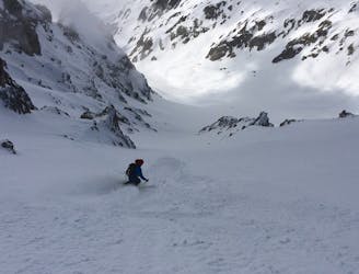
2.8 km away
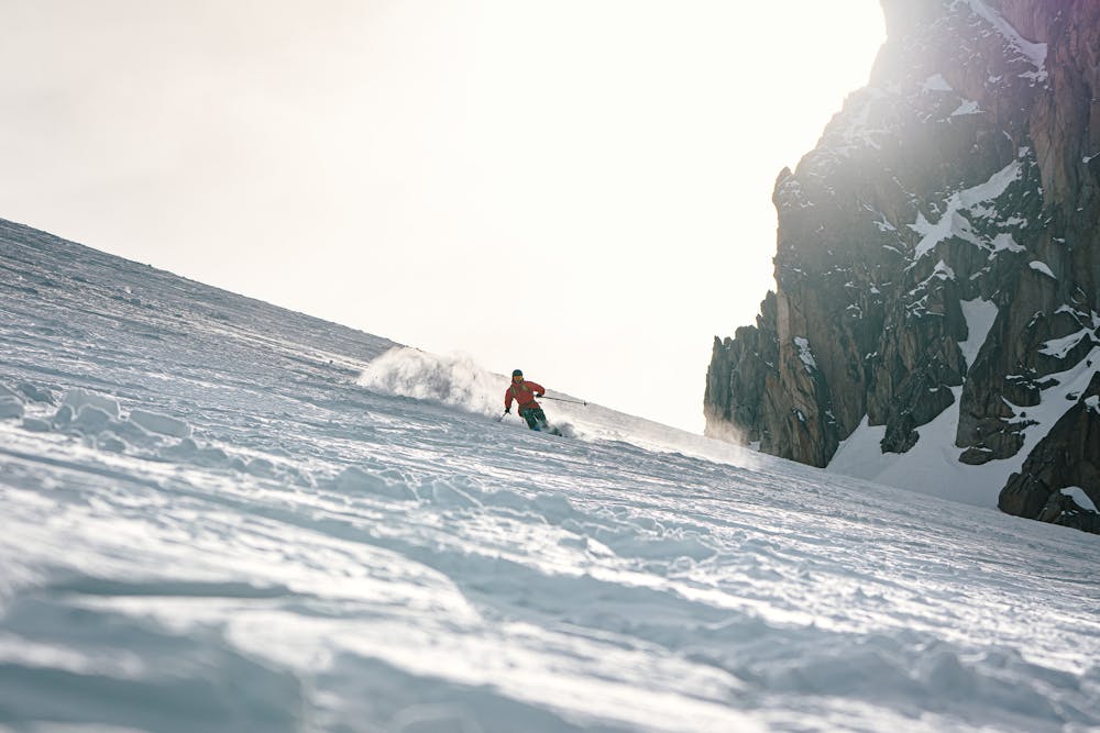
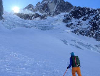
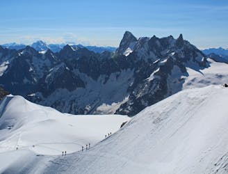
Mont Blanc North Face
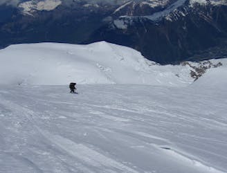
A satisfyingly long descent from the Alps' highest summit.
Difficult Ski Touring
- Distance
- 22 km
- Ascent
- 2.9 km
- Descent
- 2.9 km
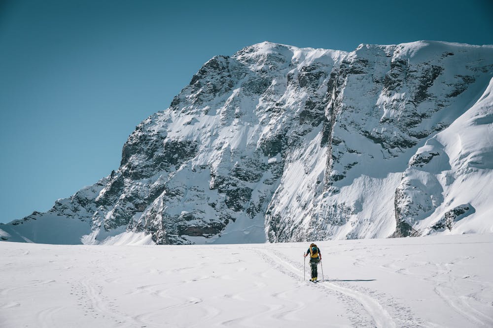
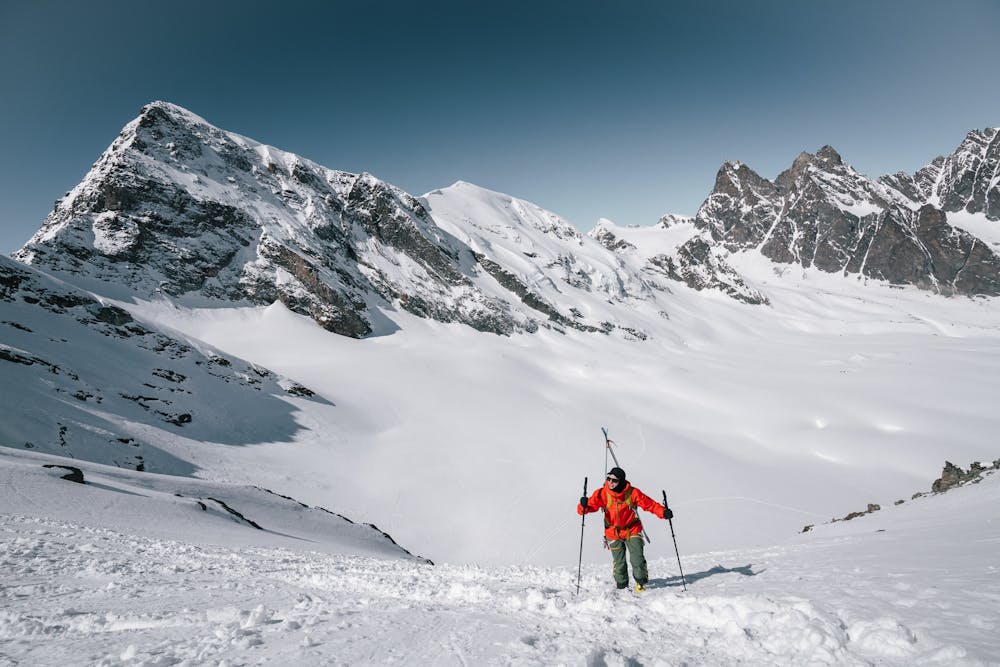
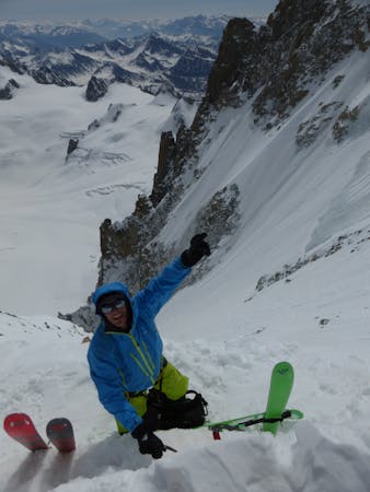
Exact route for my solo single push from Chamonix to Zermatt in 31 hours
Also in Valais, Switzerland
Ski Touring Difficult

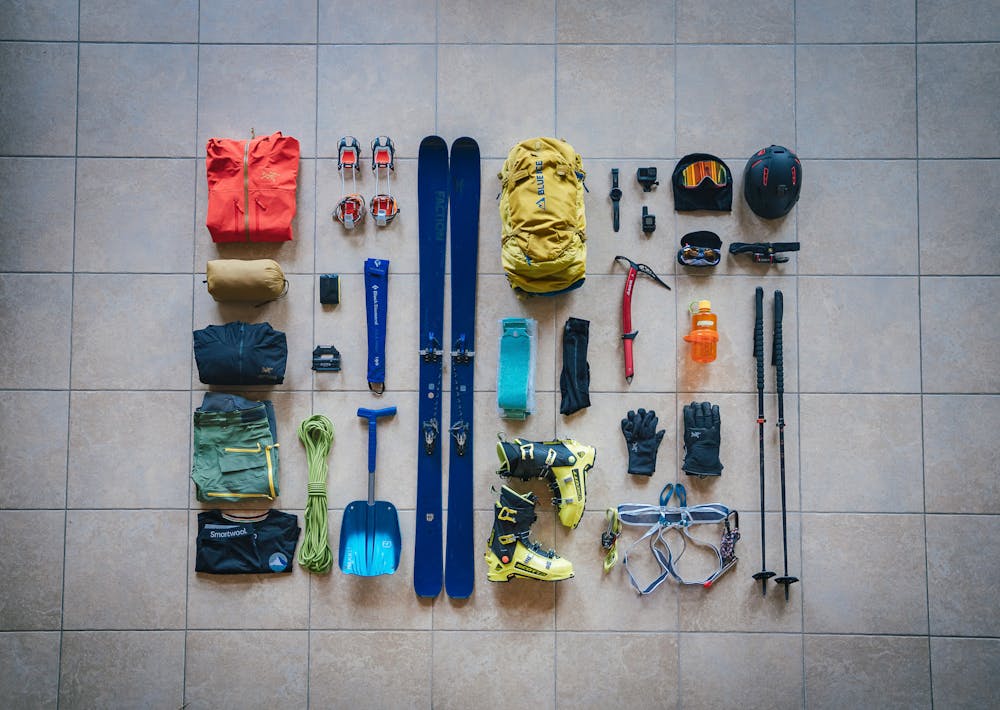
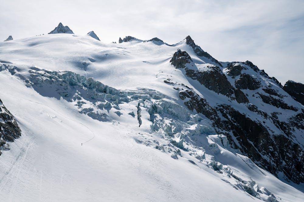
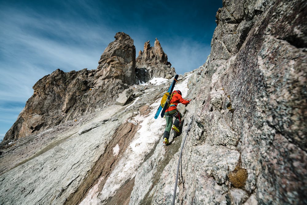
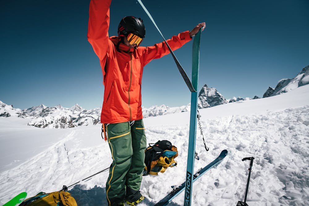
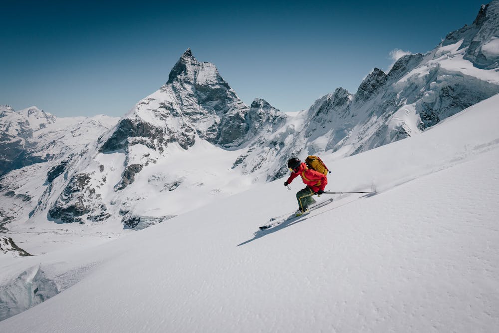
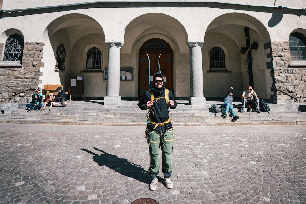
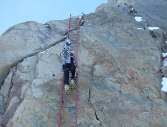
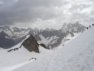
An incredible single push self-propelled route for the iconic and world renowned Haute route from Chamonix to Zermatt. It is possible to connect the road section by bicycle or taxi/bus. Possible deviation includes avoiding dropping down Arolla and continuing over Pigne d'Arolla, I selected this option to restock food, water and to reduce objective risk skiing solo in the night. Note: This route is entirely self-propelled so uses no ski lifts. It would naturally split nicely into three days if preferred. For more information on the challenge, head to https://www.britishadventurecollective.com/haute-route

Difficult
Serious gradient of 30-38 degrees where a real risk of slipping exists.

As well as the slope itself, there are some obstacles (such as rock outcrops) which could aggravate injury.

In the high mountains or remote conditions, all individuals must be completely autonomous in every situation.
2.8 km away
A satisfyingly long descent from the Alps' highest summit.
Difficult Ski Touring
2.8 km away
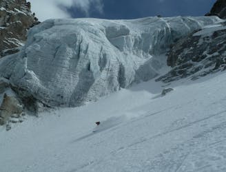
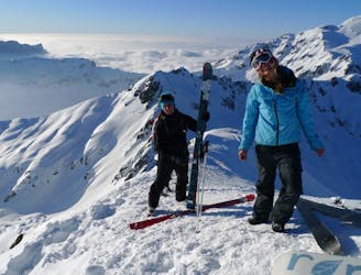
A beautiful and varied run with a tricky ending.
Extreme Ski Touring
3.4 km away
An historical steep descent first made in 1967 by Sylvain Saudan, the original pioneer of extreme skiing.
Extreme Ski Touring
3.5 km away
Skiing from a wide col with space for a lot of skiers; fresh tracks are almost guaranteed.
Difficult Ski Touring
4.2 km away
A great alternative to the Spencer: slightly steeper and narrower.
Extreme Ski Touring
4.3 km away
A technical ski tour coming straight back down the same way if the Spencer is not in condition.
Severe Ski Touring
5.1 km away
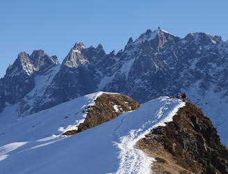
The classic ski-mountaineering trip of the area, taking in some mind-blowing scenery.
Difficult Ski Touring
5.2 km away
One of Chamonix's most famous and sought after steep descents; sustained and an immaculate ski line.
Extreme Ski Touring
5.6 km away
Once a well kept secret, it's not secret anymore but still a great descent.
Difficult Ski Touring
5.6 km away
A brilliant freeride line with some steep-ish, technical skiing followed by a wide open, rippable slope.
Difficult Ski Touring
5 routes · Freeride Skiing · Ski Touring

5 routes · Freeride Skiing · Ski Touring
7 routes · Ski Touring

50 routes · Freeride Skiing · Ski Touring