2.7 km away
Glacier du Mort
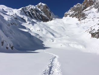
Once a well kept secret, it's not secret anymore but still a great descent.
Difficult Ski Touring
- Distance
- 8.7 km
- Ascent
- 685 m
- Descent
- 1.8 km
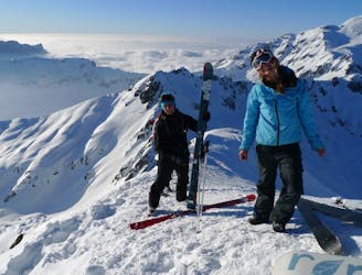
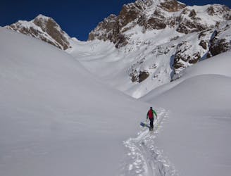
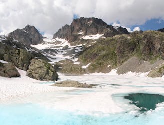
Skiing from a wide col with space for a lot of skiers; fresh tracks are almost guaranteed.
Ski Touring Difficult

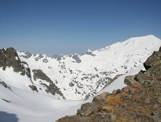
From the top of the Col Cornu chairlift skin up to the col Cornu itself. Traverse the north face of the Aiguille Pourrie (watch out for windloaded slopes) to gain the entrance to the Col de la Glière. Entering the bowl is less steep further L. A beautiful mellow bowl, steep for the first few turns leads you back to the piste. Stay R for shadier, codler snow in the upper section.
Difficult
Serious gradient of 30-38 degrees where a real risk of slipping exists.

As well as the slope itself, there are some obstacles (such as rock outcrops) which could aggravate injury.

Little chance of being seen or helped in case of an accident.
2.7 km away
Once a well kept secret, it's not secret anymore but still a great descent.
Difficult Ski Touring
2.7 km away
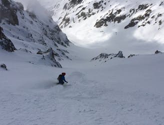
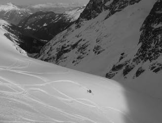
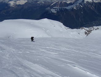
A brilliant freeride line with some steep-ish, technical skiing followed by a wide open, rippable slope.
Difficult Ski Touring
2.7 km away
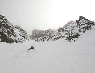
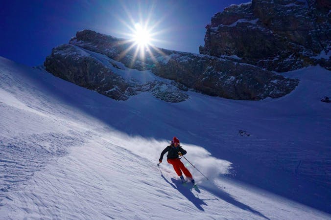
A steep and exciting couloir which packs a lot of adventure into a short line.
Severe Ski Touring
2.7 km away
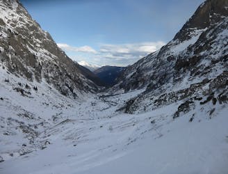
A Chamonix classic which features a beautiful ascent, an exciting, long abseil and some stunning north facing bowls.
Severe Ski Touring
2.7 km away
A good introduction to Chamonix ski touring which nonetheless features a short bootpack and an exposed traverse.
Difficult Ski Touring
2.7 km away
A visually stunning ski tour easily accessible from Flégère
Moderate Ski Touring
3.7 km away
A brilliant detour from the classic Crochues-Bérard route which takes you through some fantastic terrain.
Difficult Ski Touring
4 km away
One of the classic tours of the Agiuille Rouge with a short section of exposed climbing
Difficult Ski Touring
5.2 km away
A superb variant, accessed from Le Buet or via the Col de Beugeant descent.
Difficult Ski Touring
6.3 km away
A satisfyingly long descent from the Alps' highest summit.
Difficult Ski Touring

5 routes · Freeride Skiing · Ski Touring
7 routes · Ski Touring

50 routes · Freeride Skiing · Ski Touring