3.9 km away
La Tournette Classic North East route.
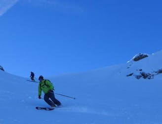
A big classic of the Annecy area with incredible views of the Lake.
Difficult Ski Touring
- Distance
- 10 km
- Ascent
- 1.4 km
- Descent
- 1.4 km

A Local classic best done after fresh snow and cool temperatures.
Ski Touring Moderate

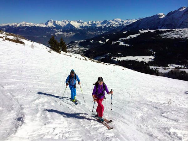
A unique stand alone mountain and the perfect ski summit, popular amongst locals. The panoramas of the Aravis and further afield are superb. There are plenty of options for skiing down and reascending on different aspects if you want a longer day. It is possible to keep the angle below 30 degrees for the most part if there is uncertainty about conditions.
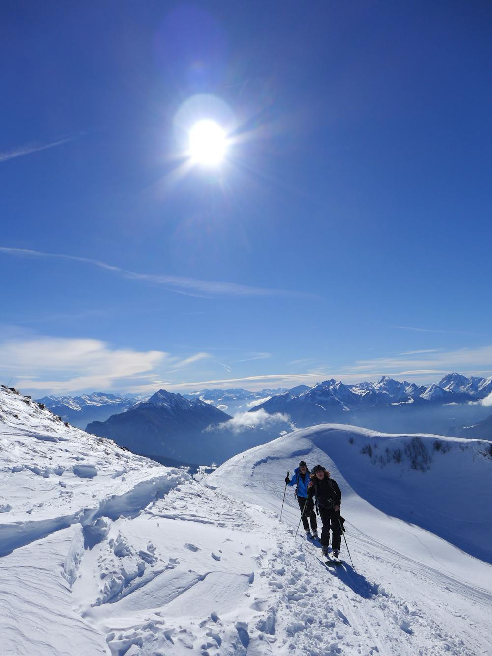
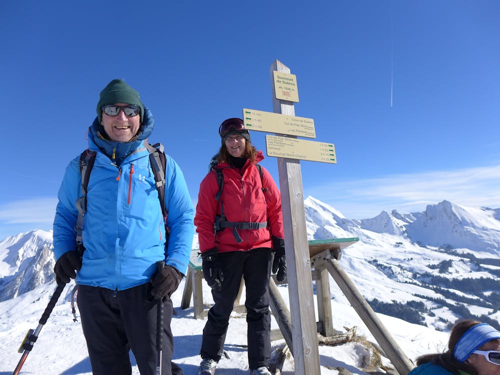
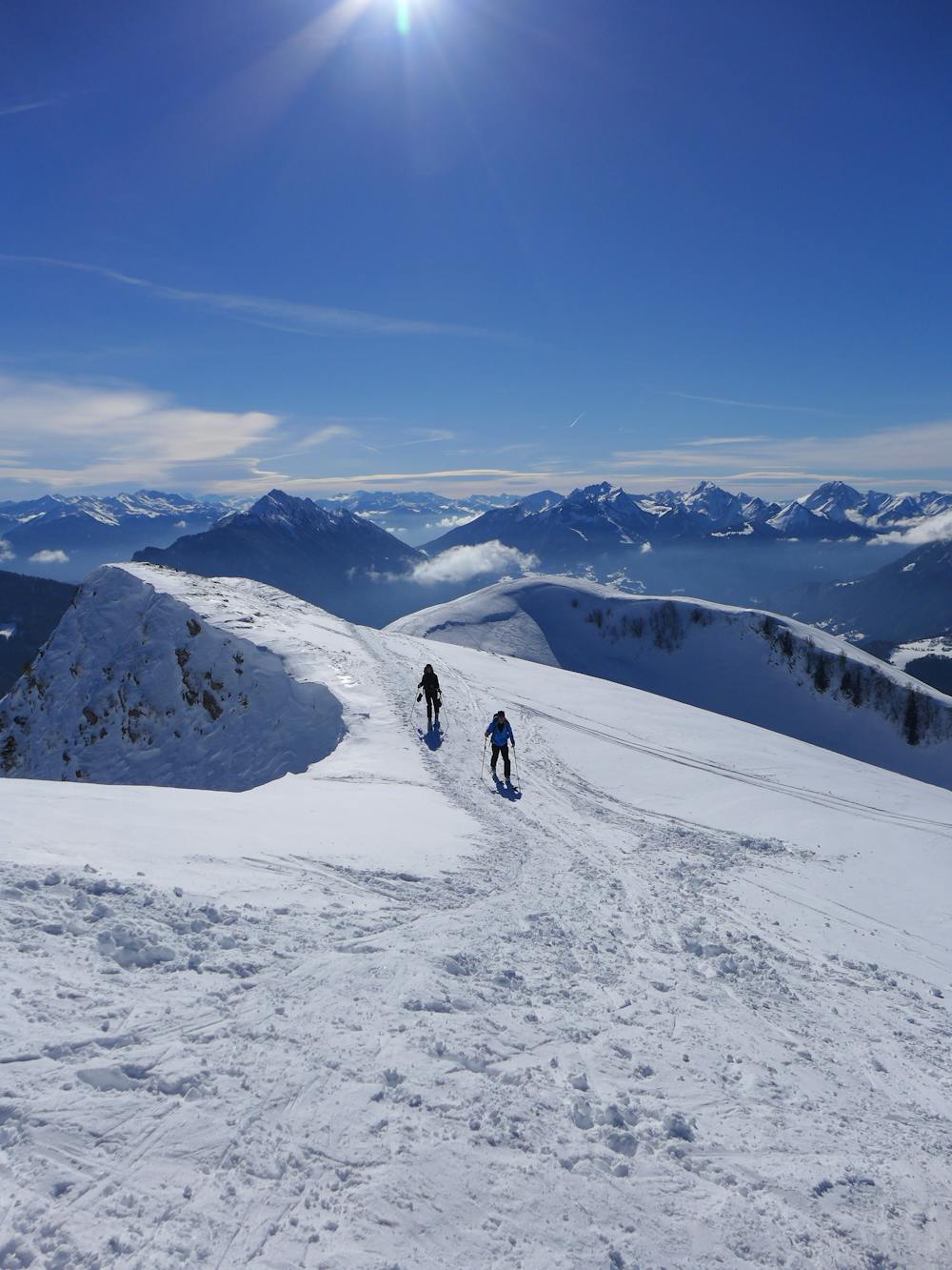
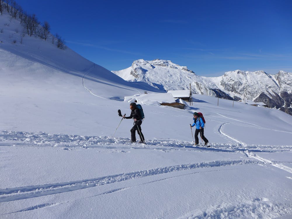
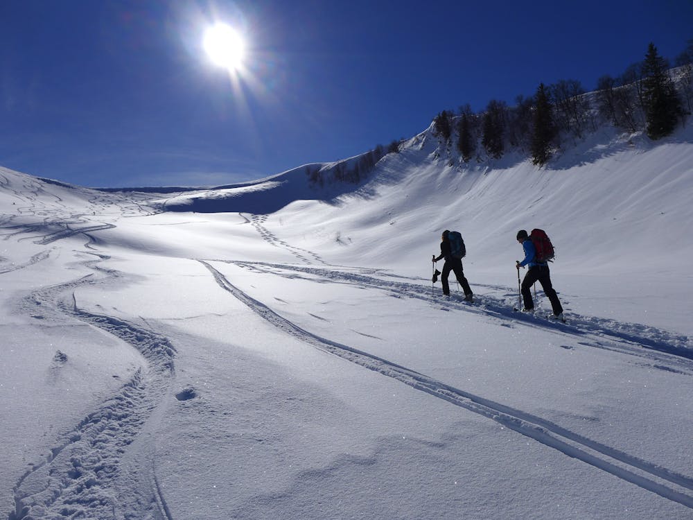
The tour starts at Plan des Berthats where the road to Col de Plan Bois is ploughed to a point where there is usually ample parking. From here ascend through easy angled terrain to the Col de Plan Bois (alternative parking) and a café! Follow the track in a southerly direction until leaving the forest where there are some buildings above you, then zig zag up the track cutting corners if desired before traversing the hillside again to a large flatter area and some buildings. Ascend up the wide, easy angled slopes to the col.
From here, if time and legs allow, ascend the short distance up to the small peak to the south west. Ski west facing slopes until a track in the forest takes you to the ridge line where you can reascend to the small summit and the col below.
From here ascend to the main summit along the wide spectacular photogenic ridge line. The views of Mont Charvin and La Tournette are excellent and it's a great place to eye up future ski tours from a distance!
The skiing is fun on open slopes. The initial descent off the summit is easy angled slopes, then you reach a steeper section, after this it’s this all easier angled slopes until you reach Lecheron. From here ski to the edge of the forest and pick up a short track which leads you back to the main ascent track and back to Col de Plan Bois and the café. Some nice meadow skipping takes you back to the car.
Moderate
Slopes become slightly steeper at around 25-30 degrees.
3.9 km away

A big classic of the Annecy area with incredible views of the Lake.
Difficult Ski Touring
4.3 km away
An excellent introduction to the stunning area around Mont Charvin.
Moderate Ski Touring
5 km away
A scenic tour which comes into condition quickly and therefore makes for a good early season objective.
Difficult Ski Touring
8.3 km away
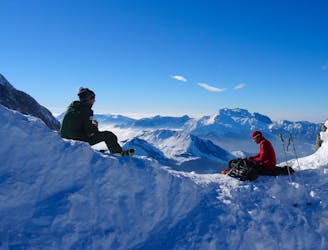
An exciting ski tour in one of the wilder parts of the Aravis.
Difficult Ski Touring
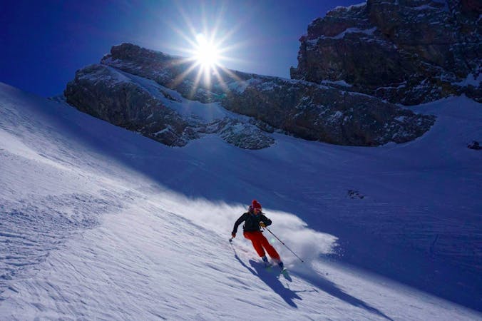
7 routes · Ski Touring
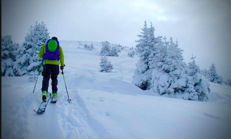
7 routes · Ski Touring
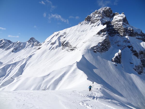
5 routes · Ski Touring
10 routes · Ski Touring