405 m away
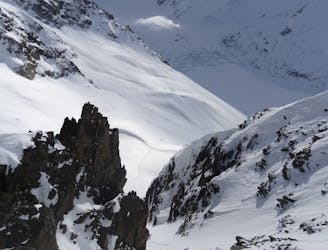
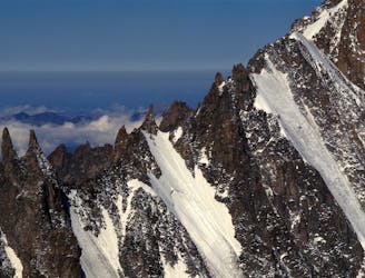
Col d'Argentiere
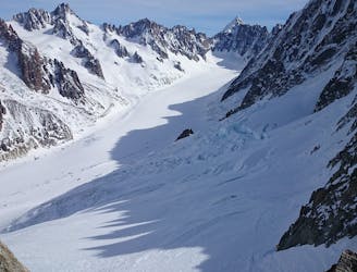
A slightly steeper alternative to the Col du Tour Noir
Moderate Ski Touring
- Distance
- 12 km
- Ascent
- 1.1 km
- Descent
- 1.7 km
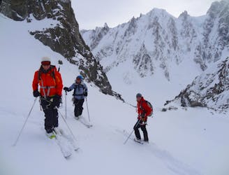
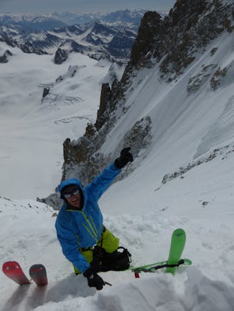
Gd Montets, Passon, Tour 2013
Ski Touring Moderate

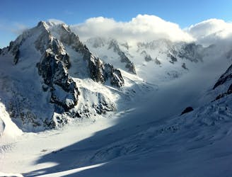
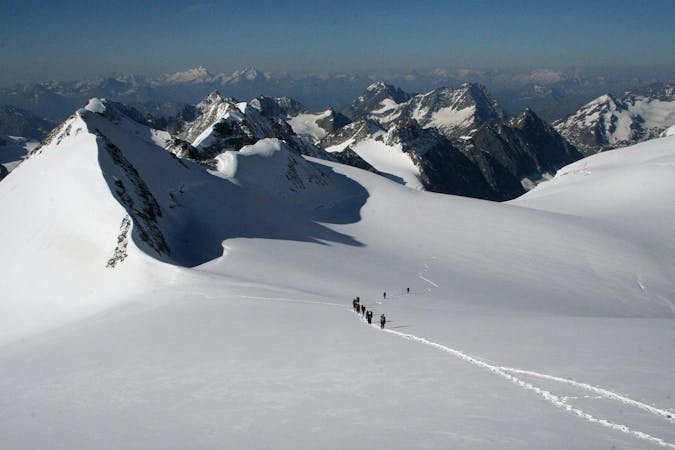
This is a popular ski touring route which is generally considered to be moderate. It's remote, it features low exposure (e1) and is typically done between January and April. From a low point of 1.5 km to the maximum altitude of 3.1 km, the route covers 13 km, 854 vertical metres of ascent and 2451 vertical metres of descent. You'll need skins, ice axe, crampons and glacier kit to complete it safely.
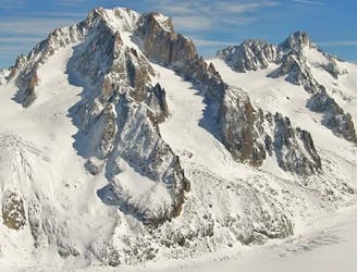
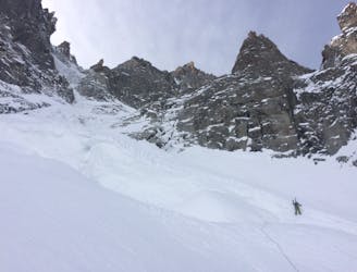
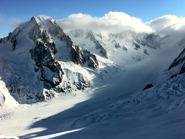
A classical route. The exit of the Tour glacier descend is complex.
Moderate
Slopes become slightly steeper at around 25-30 degrees.

Exposure is limited to that of the slope itself. Getting hurt is still likely if the slope is steep and/or the snow is hard.

Away from help but easily accessed.
405 m away
A slightly steeper alternative to the Col du Tour Noir
Moderate Ski Touring
405 m away
The first day of the Alps' most famous ski tour
Difficult Ski Touring
405 m away
Stunning views and the first leg of the famous Chamonix-Zermatt Haute Route
Moderate Ski Touring
405 m away
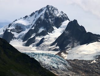
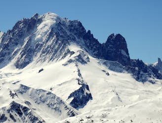
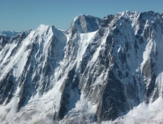
A prominent and sought after summit at 3900 meters yet it remains much more accessible than the other major peaks of the Argentière Basin.
Severe Ski Touring
405 m away
One of THE classic tours of the area taking in a variety of high quality ski terrain.
Moderate Ski Touring
1.5 km away
The king line of the Argentiere Basin
Extreme Ski Touring
2.2 km away
A spectacular hanging couloir, this line is a 1000m TD alpine route that has seen only three known descents
Extreme Ski Touring
2.8 km away
One of the lowest angle ski tours in the Argentiere basin, to a fabulous viewpoint.
Moderate Ski Touring
3 km away
A mythical line down the true north face of Les Courtes, it has still seen hardly more than a handful of descents.
Extreme Ski Touring
3.2 km away
Yet another big 5.4 in the Argentiere Basin
Extreme Ski Touring
5 routes · Freeride Skiing · Ski Touring
7 routes · Ski Touring

10 routes · Freeride Skiing · Ski Touring
6 routes · Ski Touring
7 routes · Ski Touring