3.9 km away
Col de Balafrasse
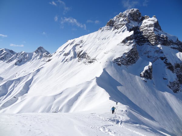
A justifiably popular ski tour in amongst the big limestone cliffs of the Aravis.
Moderate Ski Touring
- Distance
- 8.5 km
- Ascent
- 864 m
- Descent
- 864 m
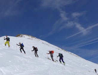
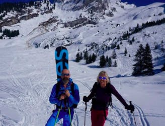
A quiet ski tour in a wild setting with fun skiing.
Ski Touring Moderate

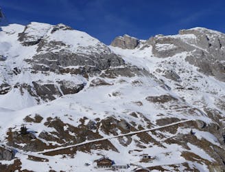
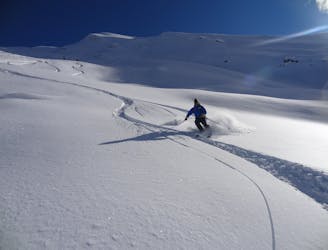
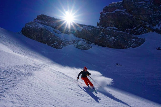
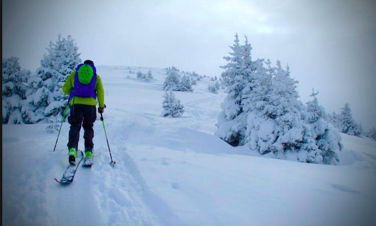
An often quiet ski tour on the shady side of the Col de la Colombière which offers an excellent vantage point from which to view the more popular ski tours on the sunny side of the Col. This is wild-feeling tour and it's well worth keeping your eyes peeled for the magnificent Gypayète barbu (bearded vulture). Due to the shady aspects of the slopes there is a good chance of skiing good powder even when it has not snowed for a while. A lot of the terrain is in trees and in poor visibility it can be a good place to come and ski laps with multiple options for descents. If snow stability is in doubt the option to skin up a safer line to the ridge between Point de la Botte and Tête d’Auferrand is often better than going to the summit itself.
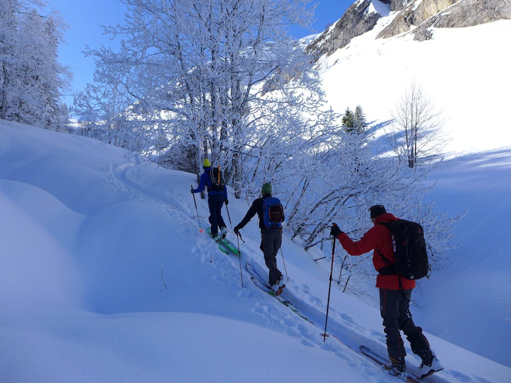
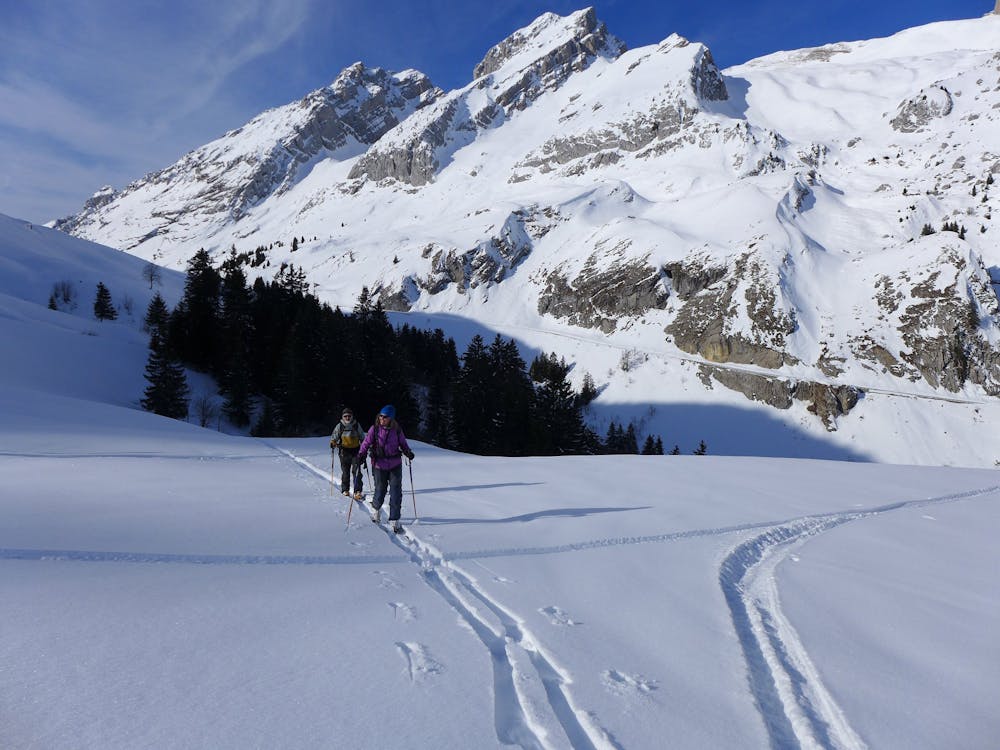
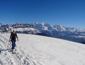
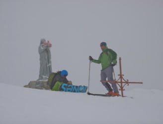
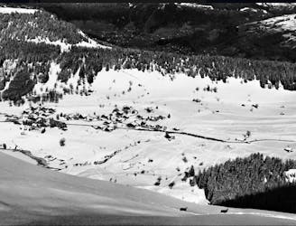
From the parking (which is at the end of where the road is ploughed to) ski down a short track to the building at la Sallaz. From here put your skins on and skin along the summer track until it bends to your left. Then continue up the stream bed before leaving this and skinning up the steeper slopes in the trees to where it flattens and the closed café at Aufferand. There is a short shuffle down before a rising traverse around the hill takes you to a steeper slope - skin up this to a broad col. The summit is often blocked by a cornice and this is bypassed by a traverse under it before turning and going along the ridge to the summit. Enjoy the views over to Pointe Percée in one direction and the Pointe du Midi and surrounding mountains in the other direction.
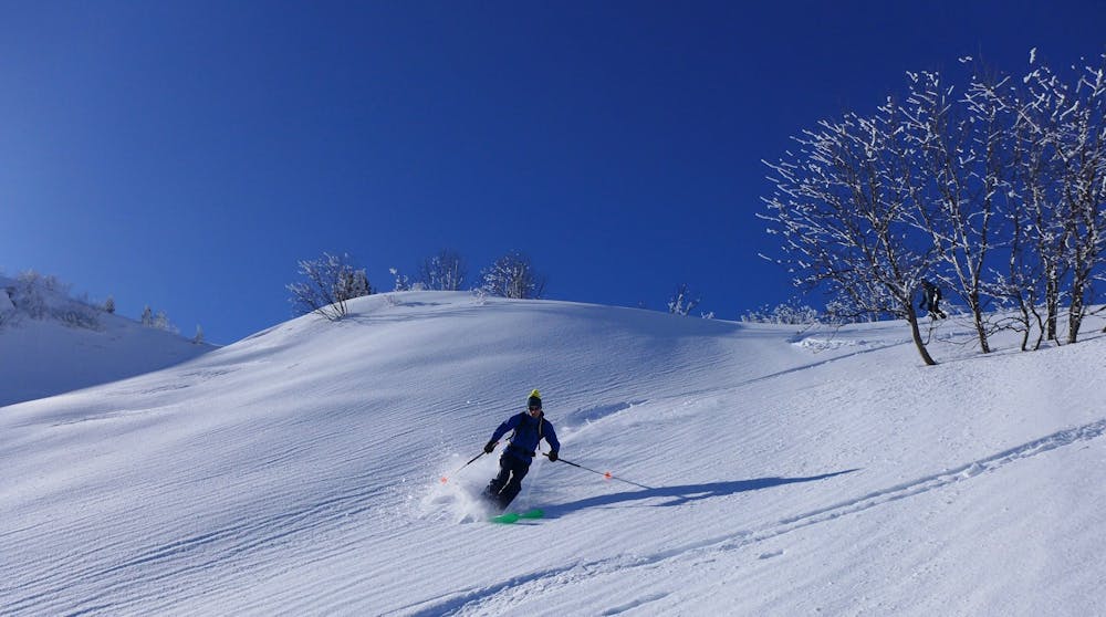
The ski down follows the ascent line but it is well worth doing an extra short skin or two to get some fresh tracks and take advantage of the surrounding terrain either in the more open ground higher up or the trees lower down. When you are near the end you will have to walk a short distance back up the track to the parking.
Moderate
Slopes become slightly steeper at around 25-30 degrees.

Exposure is limited to that of the slope itself. Getting hurt is still likely if the slope is steep and/or the snow is hard.

Away from help but easily accessed.
3.9 km away
A justifiably popular ski tour in amongst the big limestone cliffs of the Aravis.
Moderate Ski Touring
4.8 km away
A short fun classic of the Aravis that gives a good taste of the area.
Moderate Ski Touring
6.2 km away
An easy ski tour to a perfectly positioned peak, followed by a steep and exciting descent. Ski touring doesn't get much better!
Difficult Ski Touring
6.6 km away
An easy, accessible and safe ski tour - perfect for beginners
Moderate Ski Touring
9 km away
A Double Couloir Aravis Traverse
Severe Ski Touring
9 km away
An accessible but highly rewarding Aravis classic
Difficult Ski Touring
9.4 km away
A Quick Aravis Hit With A Spectacular Summit
Difficult Ski Touring
9.5 km away
A long tour through staggering scenery which culminates with a descent of a beautiful hanging face.
Difficult Ski Touring
7 routes · Ski Touring
7 routes · Ski Touring

50 routes · Freeride Skiing · Ski Touring
5 routes · Ski Touring

15 routes · Freeride Skiing · Ski Touring
10 routes · Ski Touring
3 routes · Ski Touring