27 m away
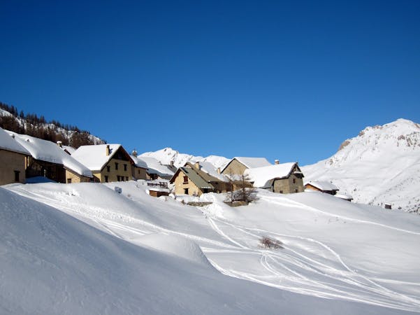
La Balme South Side

Spring snow perfection. Suitable for less experienced off piste skiers.
Moderate Freeride Skiing
- Distance
- 1.4 km
- Ascent
- 0 m
- Descent
- 409 m

A wide open north face where the snow stays cold. The most forgiving of the sector’s north face lines.
Freeride Skiing Difficult

The La Balme sector is a freeride paradise. There are a multitude of lines that vary from straightforward open faces to chutes with rock jumps in the middle of them. There used to be a chairlift to the high point of the Crête de la Balme which made things easier but it also meant that the lines got tracked out much quicker. Without the lift, accessing any of the La Balme lines now requires a hike of 10-20 minutes. Start at the top of the Vallons or Cucumelle chairlifts, walking south along the ridge for a few minutes at which point you’ll be able to put your skis back on and take as much speed as possible along the same ridge. Once you can’t get any further on your skis, hike the rest on foot as far as the small cabin at the top. Helpfully the ridge nearly always has a nicely groomed cat track in it as it is used by the ski patrol to get from one valley to the next quickly and for avalanche control. This makes the going easier. To get to the main face, continue on the pisted track until it turns sharply to the right. The north face is to the left. All that remains to do is to pick your line and go. Your next stop should be the Cucumelle red piste.
Difficult
Serious gradient of 30-38 degrees where a real risk of slipping exists.
27 m away

Spring snow perfection. Suitable for less experienced off piste skiers.
Moderate Freeride Skiing
111 m away

For experts only. A narrow couloir with a sometimes serious cliff jump half way down.
Severe Freeride Skiing
145 m away

Serre Chevalier’s most well known couloir and for good reason. Steep, long and a joy to ski.
Severe Freeride Skiing
215 m away

Short and sometimes technical lines splitting the rocks on La Balme’s north face.
Difficult Freeride Skiing
244 m away

A fun open face with a couple of short chute options. The climb to ski ratio is not that favourable though.
Moderate Freeride Skiing
530 m away

A perfect spot for less experienced off piste skiers with a sense of adventure.
Moderate Freeride Skiing
1.1 km away

The other La Balme couloir – less well known, less skied and shorter than its illustrious neighbour but epic all the same.
Difficult Freeride Skiing
1.1 km away

A largely open, undulating descent in a huge southeast facing bowl – ideal for entry level off piste.
Moderate Freeride Skiing
1.1 km away

A beautiful north facing open bowl followed by perfectly spaced larch trees.
Difficult Freeride Skiing
1.2 km away

Steep but short north facing couloir and face – a good introduction to steep skiing.
Difficult Freeride Skiing

10 routes · Freeride Skiing