5.1 km away
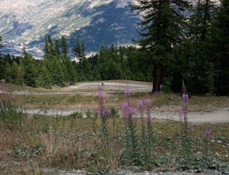
Mélézine
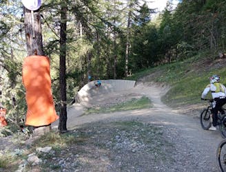
A brilliant romp down the lower part of Serre Chevalier
Severe Mountain Biking
- Distance
- 5.9 km
- Ascent
- 21 m
- Descent
- 556 m
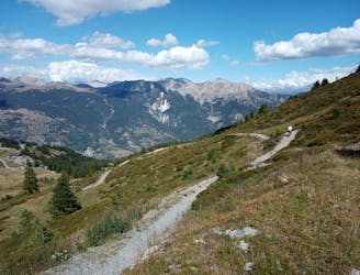
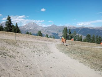
A 1100m elevation loop from Puy Saint Pierre to the Serre Chevalier peak
Mountain Biking Moderate

This is a popular mountain biking route which is generally considered to be moderate. It's not remote, it features medium exposure and is typically done between June and October. From a low point of 1.6 km to the maximum altitude of 2.5 km, the route covers 25 km, 1126 vertical metres of ascent and 1126 vertical metres of descent.
To be done
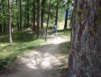
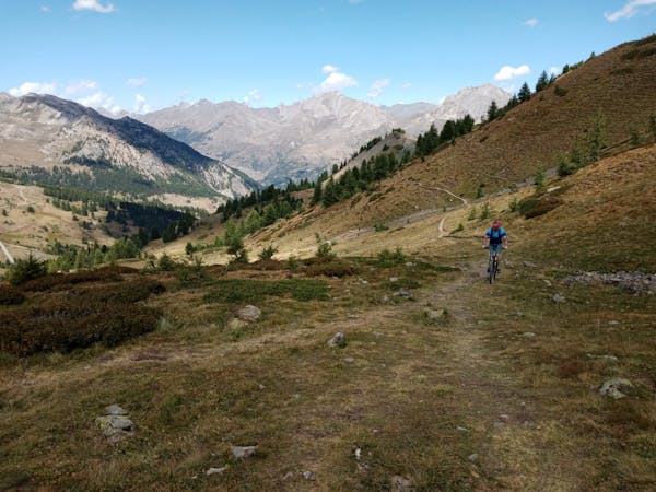
Moderate
Mostly stable trail tread with some variability, with unavoidable obstacles 8in/20cm tall or less. Other obstacles such as rock gullies and steep sections may exist. Ideal for lower intermediate riders.

The trail contains some obstacles such as outcroppings and rock which could cause injury.

Close to help in case of emergency.
5.1 km away
A brilliant romp down the lower part of Serre Chevalier
Severe Mountain Biking
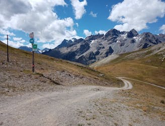
5.6 km away
A short climb yields huge results!
Difficult Mountain Biking
5.6 km away
Big views, cruisy riding and easy access make this pure Type-1 fun!
Moderate Mountain Biking
5.6 km away
A staggeringly beautiful ride followed by some immaculate singletrack.
Severe Mountain Biking
5.6 km away
Perhaps the single most fun line at Serre Chevalier!
Difficult Mountain Biking
5.6 km away
A tricky line with continually interesting riding, all in an amazing location.
Severe Mountain Biking
6 routes · Mountain Biking