3 km away
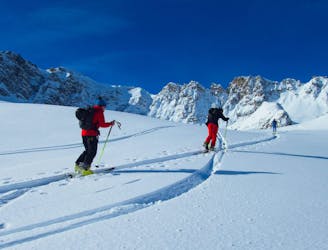
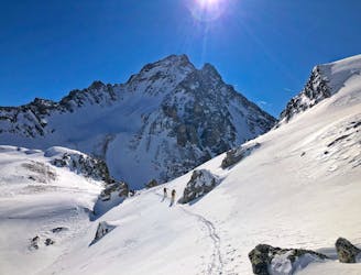
Mont Thabor Circuit. Nevache to Chardonnnet Hut
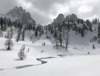
A beautiful introduction to this unspoilt area with gorgeous, varied and extremely friendly huts.
Moderate Ski Touring
- Distance
- 11 km
- Ascent
- 1.1 km
- Descent
- 439 m
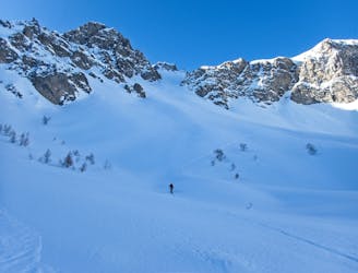
Col de Buffere depuis le refuge
Ski Touring Easy

This is a popular ski touring route which is generally considered to be easy. It's not remote, it features low exposure (e1) and is typically done between December and April. From a low point of 2.1 km to the maximum altitude of 2.4 km, the route covers 3.1 km, 361 vertical metres of ascent and 1 vertical metres of descent. It's graded 2.1 and Labande grade 1.
route facile
Easy
Wide gentle slopes at around 20 degrees or less.

Exposure is limited to that of the slope itself. Getting hurt is still likely if the slope is steep and/or the snow is hard.
Close to help in case of emergency.
3 km away
A beautiful introduction to this unspoilt area with gorgeous, varied and extremely friendly huts.
Moderate Ski Touring
3 km away
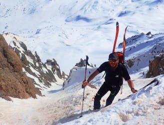
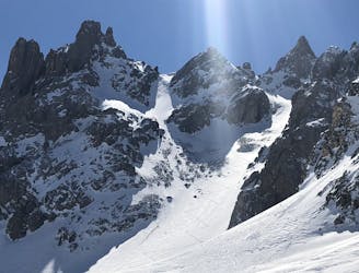
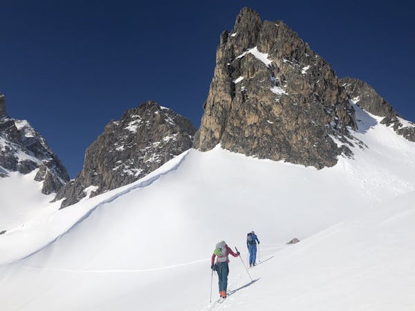
A classic couloir in the Cerces
Severe Ski Touring
3 km away
A stunning line, the couloir is great skiing.
Severe Ski Touring
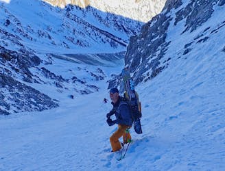
3 km away
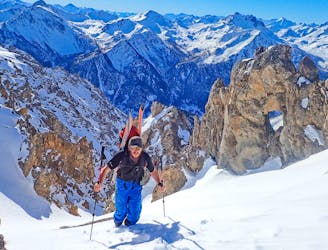
An interesting line with face and tree skiing.
Difficult Ski Touring
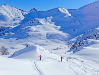
3 km away
A really nice easier line, perfect for those new to ski touring. But a big day out as well.
Moderate Ski Touring
3.4 km away
A short descent, then through a spectacular col then a short journey to the Col des Cerces, before a final descent to the Drayeres Hut
Moderate Ski Touring
7.2 km away
A great line at the end of a stunning valley
Difficult Ski Touring
7.5 km away
A local classic couloir, a must for any steep skier.
Severe Ski Touring
7.7 km away
One big climb over a steady col then a long descent to Nevache.
Moderate Ski Touring
8.3 km away
A long traverse for a cool couloir.
Severe Ski Touring
4 routes · Ski Touring