79 m away
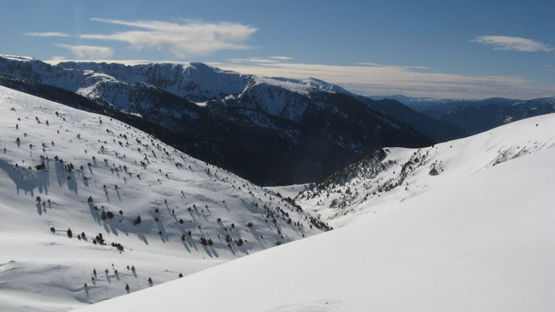
Coll blanc

Popular off piste with terrain with easy access.
Severe Freeride Skiing
- Distance
- 508 m
- Ascent
- 0 m
- Descent
- 231 m
A steep line through rocky terrain for experienced riders
Freeride Skiing Difficult

At the top of the Pic Blanc chairlift turn left (there are few fences that you should have to go around.) Find the ridge and corner where you will be able to see Font Negre chairlift and just there you will find the access to this 2 section line. Drop in there traversing to the right, going to the ridge on the lower right. Jordi Anglés piste is just below and you will get really close. This could be a lower entry point to the line. At this point where the slope turns you should follow the ridge down, leaving the piste on your left. Soon the piste will start going away, meanwhile you ride down the ridge and a flat area with a lower pass in the middle should appear. Watch out, do not follow the ridge and ride down to the right. Go through that little pass and another big wide slope will open up. Isard piste is at the bottom.
Difficult
Serious gradient of 30-38 degrees where a real risk of slipping exists.

As well as the slope itself, there are some obstacles (such as rock outcrops) which could aggravate injury.

Close to help in case of emergency.
79 m away
Popular off piste with terrain with easy access.
Severe Freeride Skiing
114 m away

Short, technical and steep couloirs
Severe Freeride Skiing
233 m away

An open terrain freeride area
Moderate Freeride Skiing
561 m away

Steep couloirs for experienced riders
Difficult Freeride Skiing
564 m away

Technical and challenging lines on the Pic Blanc North-west face.
Severe Freeride Skiing
625 m away

Wide steep riding from Coll Blanc
Moderate Freeride Skiing
784 m away

Steep terrain for alpine off-piste experienced riders.
Severe Freeride Skiing
788 m away

Extreme narrow steep couloir for advanced experienced riders
Difficult Freeride Skiing
1.5 km away

Classic freeride lines out of the resort boundaries
Moderate Freeride Skiing
1.6 km away

Easy access freeride area for intermediate riders
Moderate Freeride Skiing
22 routes · Freeride Skiing