471 m away
Vallon de la Sache (Sachette Variant)

An even longer variant of a Tignes classic itinerary
Difficult Freeride Skiing
- Distance
- 3.3 km
- Ascent
- 21 m
- Descent
- 647 m
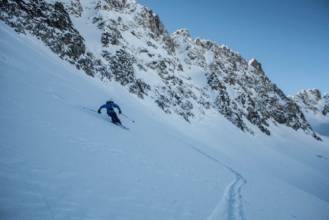
Great skiing in an easily accessed bowl.
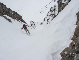
Freeride Skiing Difficult

This is a popular freeride skiing route which is generally considered to be difficult. It's remote, it features medium exposure (e2) and is typically done between December and April. From a low point of 2.3 km to the maximum altitude of 2.7 km, the route covers 1.6 km, 12 vertical metres of ascent and 439 vertical metres of descent. It's graded 2.2 and Labande grade 3.
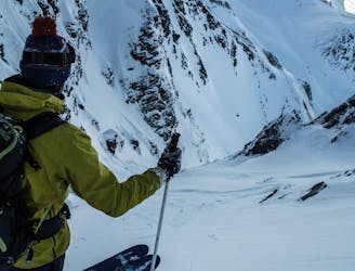
Start on the Corniche piste and shortly after starting your descent take a left into the unknown. Ski the valley through rolling terrain and open bowls until you can join the Sache piste.
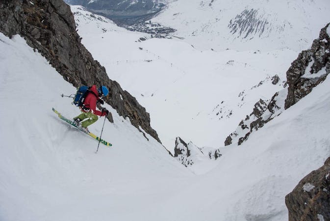
Difficult
Serious gradient of 30-38 degrees where a real risk of slipping exists.

As well as the slope itself, there are some obstacles (such as rock outcrops) which could aggravate injury.
Away from help but easily accessed.
471 m away
An even longer variant of a Tignes classic itinerary
Difficult Freeride Skiing
1.7 km away

A gentle valley with spectacular views
Difficult Freeride Skiing
2 km away

A fun shortcut above Tignes Les Boisses
Difficult Freeride Skiing
2.7 km away

Steep, technical tree skiing
Difficult Freeride Skiing
2.7 km away
A local’s favourite, which sees few descents per season.
Severe Freeride Skiing
3 km away

Excellent and relatively straight forward couloir skiing with only a short hike
Severe Freeride Skiing
3 km away
A fantastic line accessible by a short bootpack from the top of the Grattalu chairlift. The little effort required to hike to this couloir luckily keeps the masses away!
Difficult Freeride Skiing
3.3 km away

Hidden gem- tough to get right, stunning when you do
Severe Freeride Skiing
3.3 km away

Spectacular steep couloir skiing right off the piste.
Difficult Freeride Skiing
3.4 km away

Steep narrow couloirs that are easily accessed and offer fun yet serious skiing.
Severe Freeride Skiing
70 routes · Freeride Skiing
6 routes · Freeride Skiing
6 routes · Freeride Skiing