1 km away
Smoothie Trail
New for 2017, this is an easy, fun, and flowy trail.
Easy Mountain Biking
- Distance
- 5.4 km
- Ascent
- 0 m
- Descent
- 467 m
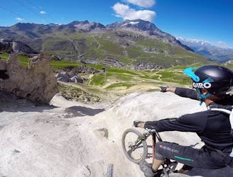
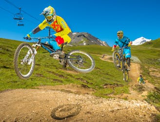
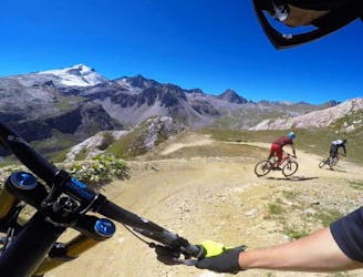
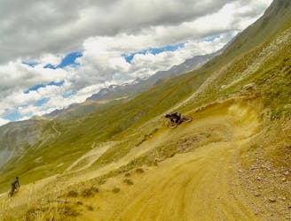
An enduro trail in the Tignes MTB VTT network. Stunning views, medium difficulty, 98% downhill.
Mountain Biking Moderate

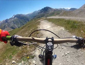
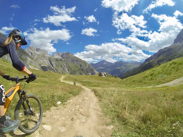
A beautiful trail from Tignes Le Lac down to Tignes 1800. Some technical sections but of medium difficulty. Stunning views early on before you drop into trees. Some very short uphill sections. Can be extended by heading north just before the end of the trail to find "Fast Wood" (check local trail map available at office in Tignes le Lac) which is much more technical and takes you down to the valley floor below the dam to Tignes Les Brevières. Shuttling preferable, otherwise it's a long slog up the road back to Tignes Les Lac. Summer busses may take bikes if they have space.
Moderate
Mostly stable trail tread with some variability, with unavoidable obstacles 8in/20cm tall or less. Other obstacles such as rock gullies and steep sections may exist. Ideal for lower intermediate riders.

Some trail sections have exposed ledges or steep ascents/descents where falling could cause serious injury.

Close to help in case of emergency.
1 km away
New for 2017, this is an easy, fun, and flowy trail.
Easy Mountain Biking
1 km away
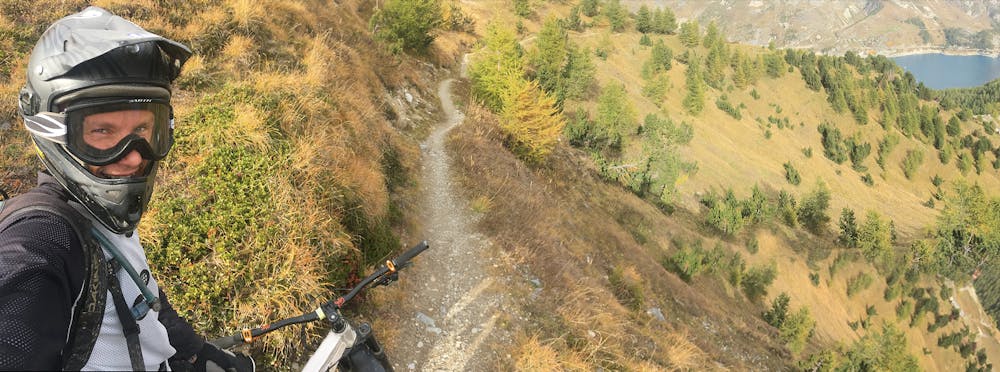
A long enduro-style route which starts from the magnificent Vallon de la Sache.
Difficult Mountain Biking
1.7 km away
An alternative, more challenging descent section near "Gunpowder."
Difficult Mountain Biking
1.9 km away
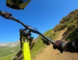
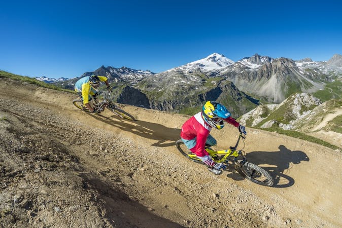
A Tignes Bike Park classic—as hard as you want it to be.
Moderate Mountain Biking
2.2 km away
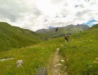
The longest trail in the Tovière area of the bike park, this is a flowy and playful track with lots of berms and jumps
Moderate Mountain Biking
3.6 km away
Alternative, technical descent for the final third of Fast Wood.
Severe Mountain Biking
3.9 km away
Acting as a transition trail to Tignes, this is a nice and flowy track with a gentle slope and some jumps.
Moderate Mountain Biking
4.6 km away
The best and hardest all-mountain trail in the area—a superb descent!
Severe Mountain Biking
4.6 km away
A fast, flowing trail from the top of the Borsat lift to the bottom.
Moderate Mountain Biking
4.8 km away
An alternative, technical descent to the first part of Fast Wood.
Severe Mountain Biking
11 routes · Mountain Biking
12 routes · Mountain Biking