1.9 km away
Pointe de Méan Martin
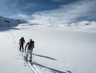
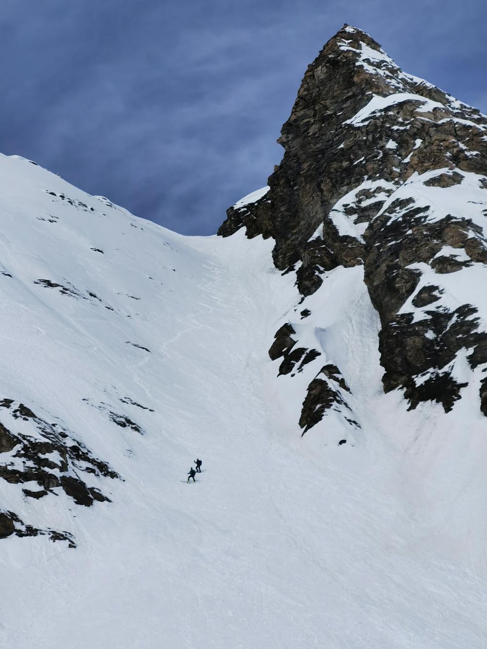
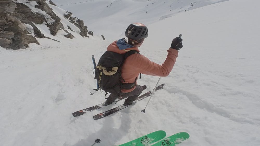
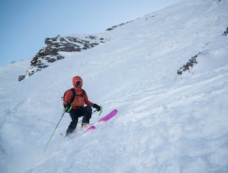
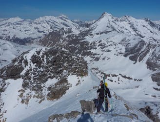
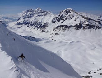
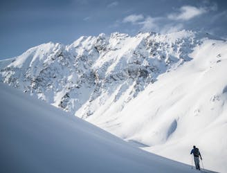
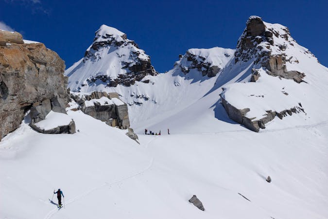
BIG day with an amazing north facing glacial ski from the top of Pointe de Méan Martin.
Severe Ski Touring
- Distance
- 14 km
- Ascent
- 1 km
- Descent
- 2 km
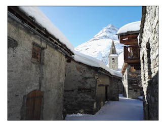
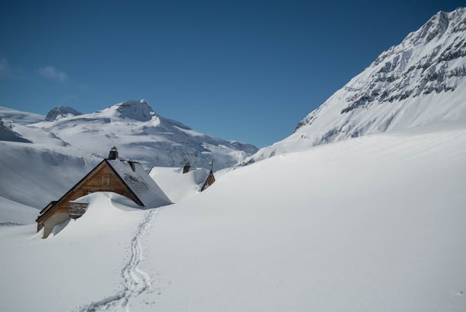
Départ du refuge du Fond des Fours, descente par le couloir "caché" de la pointe de la Met.
Ski Touring Difficult

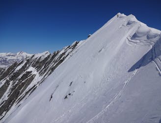
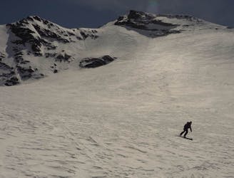
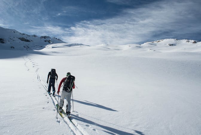
This is a popular ski touring route which is generally considered to be difficult. It's remote, it features medium exposure (e2) and is typically done between December and April. From a low point of 2.5 km to the maximum altitude of 3.1 km, the route covers 11 km, 1180 vertical metres of ascent and 1174 vertical metres of descent. It's graded 3.2 and Labande grade 4. You'll need skins and crampons to complete it safely.
Montée tranquille par le col de Bézin, descente par le couloir de la Met (3.2, pente entre 30° et 40°). Remontée par le couloir du ruisseau des Fonds.
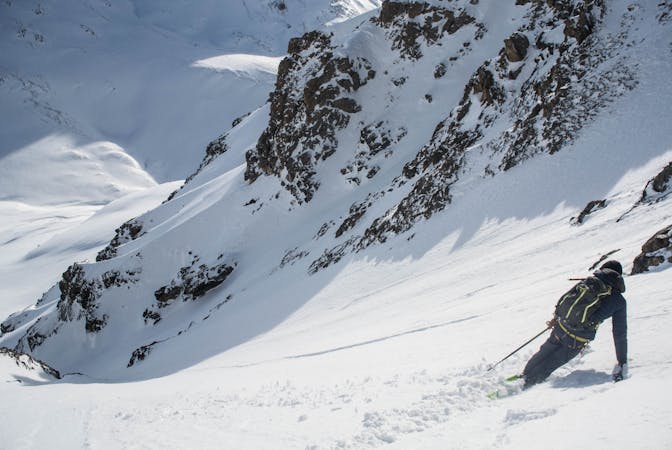
Difficult
Serious gradient of 30-38 degrees where a real risk of slipping exists.

As well as the slope itself, there are some obstacles (such as rock outcrops) which could aggravate injury.
Away from help but easily accessed.
1.9 km away
BIG day with an amazing north facing glacial ski from the top of Pointe de Méan Martin.
Severe Ski Touring
5.2 km away
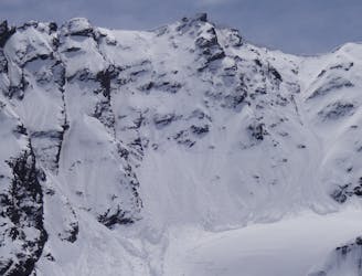
An imposing ENE facing line that watches over Val d’Isére.
Extreme Ski Touring
5.8 km away
Taking in the classic peak of Tsanteleina, this line should be on the bucket list for all keen ski tourers in the region.
Severe Ski Touring
5.9 km away
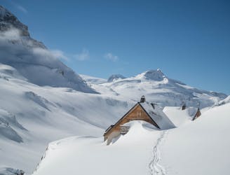
A positioning day from the roadhead in Bonneval to a high hut
Moderate Ski Touring
6.1 km away
A rarely visited gem that takes you through some breathtaking alpine terrain.
Severe Ski Touring
6.1 km away
A wild face which quickly funnels into a narrow couloir leading back to Tignes via the Vallon de la Leisse.
Extreme Ski Touring
6.1 km away
A great peak that provides an epic day out for strong ski tourers, or the perfect training peak for the fit!
Moderate Ski Touring
6.1 km away
Steep, consistently exposed and tricky route finding - one for the seasoned experts.
Extreme Ski Touring
6.3 km away
A great adventure! Take in the remote summit of the Grand Aiguille Rousse with a fantastic ski down the north face of this peak.
Severe Ski Touring
7.6 km away
What this ‘descent’ lacks in quality skiing, it more than makes up with some of the most stunning ski touring available for beginner backcountry skiers.
Easy Ski Touring
5 routes · Ski Touring
19 routes · Ski Touring
5 routes · Freeride Skiing · Ski Touring
6 routes · Ski Touring