354 m away
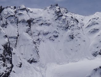
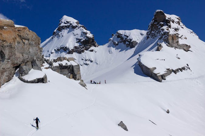
Pointe de Méan Martin
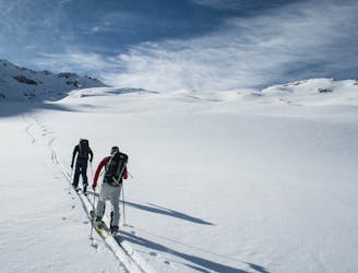
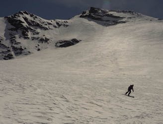
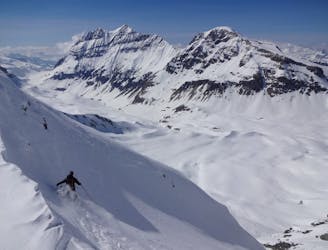
BIG day with an amazing north facing glacial ski from the top of Pointe de Méan Martin.
Severe Ski Touring
- Distance
- 14 km
- Ascent
- 1 km
- Descent
- 2 km
A hidden gem for turn earners!
Ski Touring Severe

On the face of it, this is a route that requires a lot of effort for pretty scant reward in terms of vertical descent but the quality of the terrain makes it worth it for powder-hungry steep skiers!
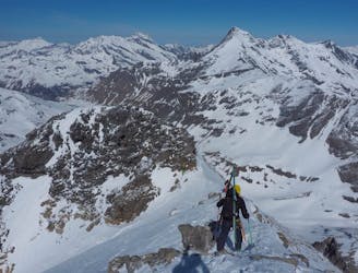
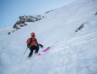
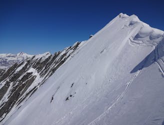
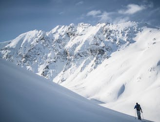
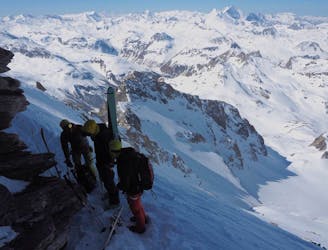
Bootpack up the ridge on your left when you reach the top of the Cugnai chair. Depending on snow conditions this steepish ascent can be quite straightforward or a real battle in deep snow. When you reach the summit, turn right and continue south along the ridge. This is usually a fairly technical scramble and be very careful of what can be huge cornices.
The most obvious route is a well-sheltered wide couloir that descends the first 200m of the face. Alternatively, continue along the ridge to reach a small face featuring numerous spines and rocks that will make you think you've taken a wrong turn and ended up in Alaska.
After the top pitch, a long traverse round to the left will take you back to the bottom of the Pays Desert drag (may need to pole/skate/walk up the road). Alternatively descend directly down to the road to join the route to the Col des Fours.
Severe
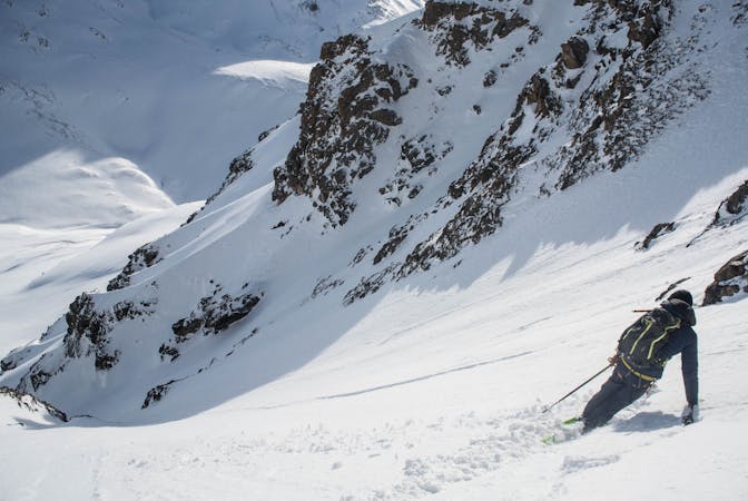
Steep skiing at 38-45 degrees. This requires very good technique and the risk of falling has serious consequences.

As well as the slope itself, there are some obstacles (such as rock outcrops) which could aggravate injury.

Little chance of being seen or helped in case of an accident.
354 m away
BIG day with an amazing north facing glacial ski from the top of Pointe de Méan Martin.
Severe Ski Touring
4.3 km away
A great adventure! Take in the remote summit of the Grand Aiguille Rousse with a fantastic ski down the north face of this peak.
Severe Ski Touring
4.5 km away
Taking in the classic peak of Tsanteleina, this line should be on the bucket list for all keen ski tourers in the region.
Severe Ski Touring
5.2 km away
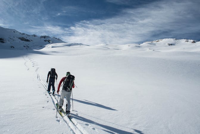
A positioning day from the roadhead in Bonneval to a high hut
Moderate Ski Touring
7.2 km away
An imposing ENE facing line that watches over Val d’Isére.
Extreme Ski Touring
8.1 km away
A rarely visited gem that takes you through some breathtaking alpine terrain.
Severe Ski Touring
8.1 km away
A wild face which quickly funnels into a narrow couloir leading back to Tignes via the Vallon de la Leisse.
Extreme Ski Touring
8.1 km away
A great peak that provides an epic day out for strong ski tourers, or the perfect training peak for the fit!
Moderate Ski Touring
8.1 km away
Steep, consistently exposed and tricky route finding - one for the seasoned experts.
Extreme Ski Touring
8.1 km away
Fantastic skiing on a perfectly positioned glacier, a great full-on day covering a huge variety of terrain.
Severe Ski Touring
19 routes · Ski Touring
5 routes · Freeride Skiing · Ski Touring
6 routes · Ski Touring