5.9 km away
Col de la Grande Pierre
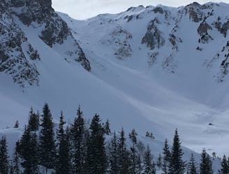
One of the easier ski tours linking Courchevel and Pralognan
Difficult Ski Touring
- Distance
- 10 km
- Ascent
- 803 m
- Descent
- 1.1 km
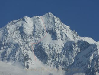
Mont Jovet depuis Villemartin
Ski Touring Moderate

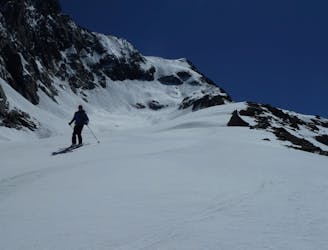
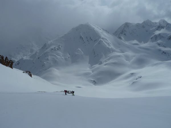
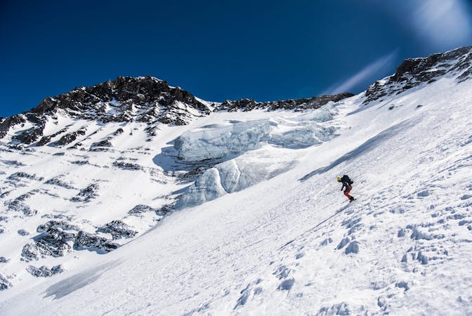
This is a popular ski touring route which is generally considered to be moderate. It's remote, it features low exposure (e1) and is typically done between December and April. From a low point of 1.2 km to the maximum altitude of 2.6 km, the route covers 15 km, 1352 vertical metres of ascent and 1370 vertical metres of descent. It's graded 3.1 and Labande grade 2. You'll need skins to complete it safely.
monter le plus loins possible en voiture direction "La Cour" après le village de Villemartin. route barrée à environs 3 km du Hameau "La Cour" debut février.
Moderate
Slopes become slightly steeper at around 25-30 degrees.

Exposure is limited to that of the slope itself. Getting hurt is still likely if the slope is steep and/or the snow is hard.

Away from help but easily accessed.
5.9 km away
One of the easier ski tours linking Courchevel and Pralognan
Difficult Ski Touring
6.7 km away
A spring-time mega-classic!
Severe Ski Touring
6.9 km away
The Chauchefoin line - a Vanoise steep classic.
Extreme Ski Touring
8.7 km away
An iconic summit looming at the head of the Bozel valley.
Difficult Ski Touring
9.3 km away
A classic mellow ski tour through great scenery.
Easy Ski Touring
9.3 km away
A short tour with a stunning view of the higher Vanoise peaks.
Moderate Ski Touring
9.3 km away
A great morning tour from Courchevel to Pralognan
Difficult Ski Touring
9.4 km away

A steady short tour through amenable terrain.
Moderate Ski Touring
5 routes · Ski Touring
5 routes · Ski Touring
11 routes · Ski Touring