27 m away
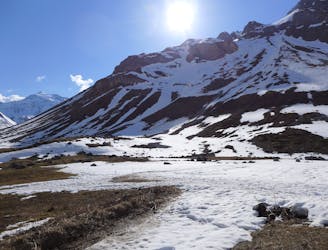
Col du Mône
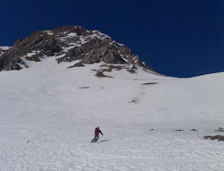
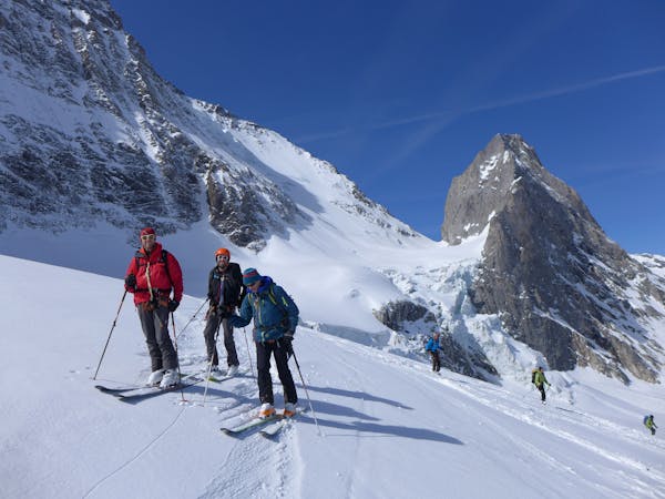
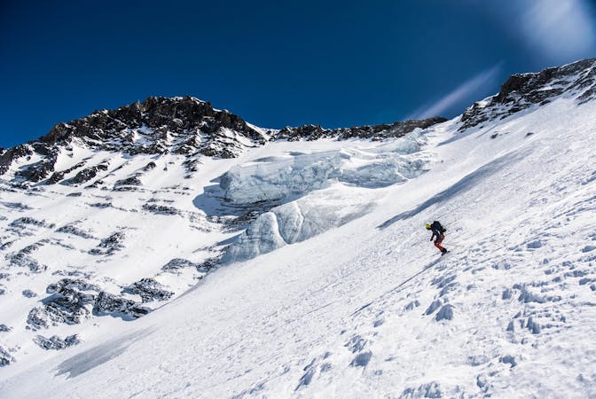
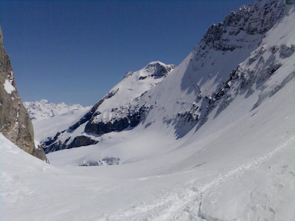
A great morning tour from Courchevel to Pralognan
Difficult Ski Touring
- Distance
- 12 km
- Ascent
- 507 m
- Descent
- 1.6 km
A steady short tour through amenable terrain.
Ski Touring Moderate

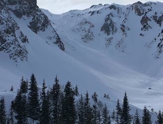
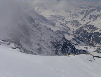
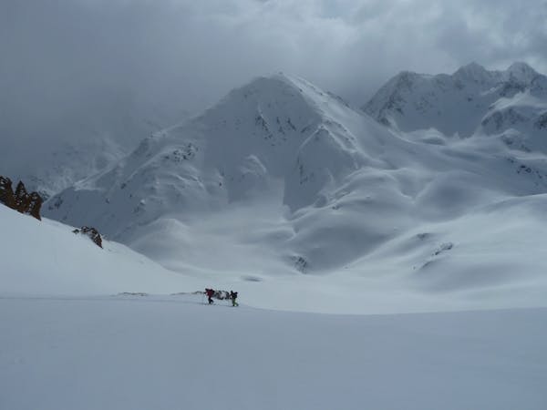
A fine short tour which gets you a long way from the lifts in a short time, with great views onto the Grande Casse, Grande Gliere and more as you near the top of the skin! Starting from the Col de Chanrossa take the traverse under the Roc Merlet face to below the 2 small rock towers, where a short skin or bootpack will get you to the obvious shoulder. Ski down from here passing the Merlet refuges and take one of the many options to finish up in the valley floor at the Chalets de la Grande Val. 350m or so of uphill awaits to hit the Plan des Baux at the top of the Combe des Roches - a diversion to the right (or coming via the Col des Saulces) will give great views of the high peaks beyond Pralognan. From the plan des Baux follow the gentle slopes and shoulders leading Northwards into the Combe des Roches. At about 2200m a short steeper section allows a rightwards traverse to the Plan des Tincavets and some open tree skiing down to Le Biol, where you join the classic Les Avals exit. Be aware that the skiers right side of this lower slope is occasionally prone to large spring avalanches...
Moderate
Slopes become slightly steeper at around 25-30 degrees.

Exposure is limited to that of the slope itself. Getting hurt is still likely if the slope is steep and/or the snow is hard.

Away from help but easily accessed.
27 m away
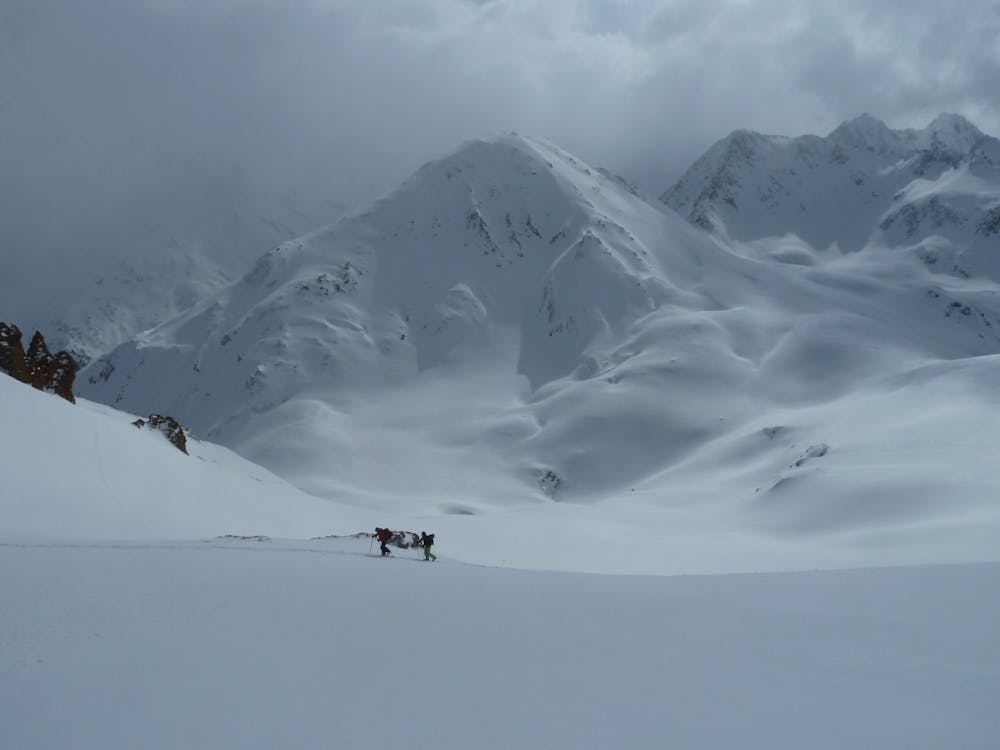
A great morning tour from Courchevel to Pralognan
Difficult Ski Touring
34 m away
A classic mellow ski tour through great scenery.
Easy Ski Touring
38 m away
A short tour with a stunning view of the higher Vanoise peaks.
Moderate Ski Touring
4.1 km away
One of the easier ski tours linking Courchevel and Pralognan
Difficult Ski Touring
4.8 km away
An enjoyable tour in the shadow of the Glaciers de la Vanoise.
Moderate Ski Touring
4.8 km away
Spring snow heaven!
Difficult Ski Touring
4.8 km away
A fine summit for a short day tour.
Moderate Ski Touring
5.6 km away
A big day up on to the Glaciers de la Vanoise
Difficult Ski Touring
5.8 km away
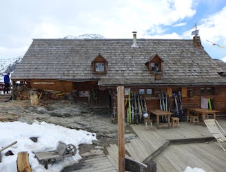
A very comfortable hut and an ideal entry point into the Vanoise national park.
Easy Ski Touring
6 km away
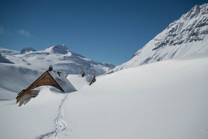
A fantastic journey to a traditional rustic French hut in the Maurienne .
Moderate Ski Touring
5 routes · Ski Touring
5 routes · Ski Touring
5 routes · Ski Touring
11 routes · Ski Touring
4 routes · Ski Touring