327 m away
Refuge du Roc de la Pêche
A very comfortable hut and an ideal entry point into the Vanoise national park.
Easy Ski Touring
- Distance
- 7.1 km
- Ascent
- 569 m
- Descent
- 92 m
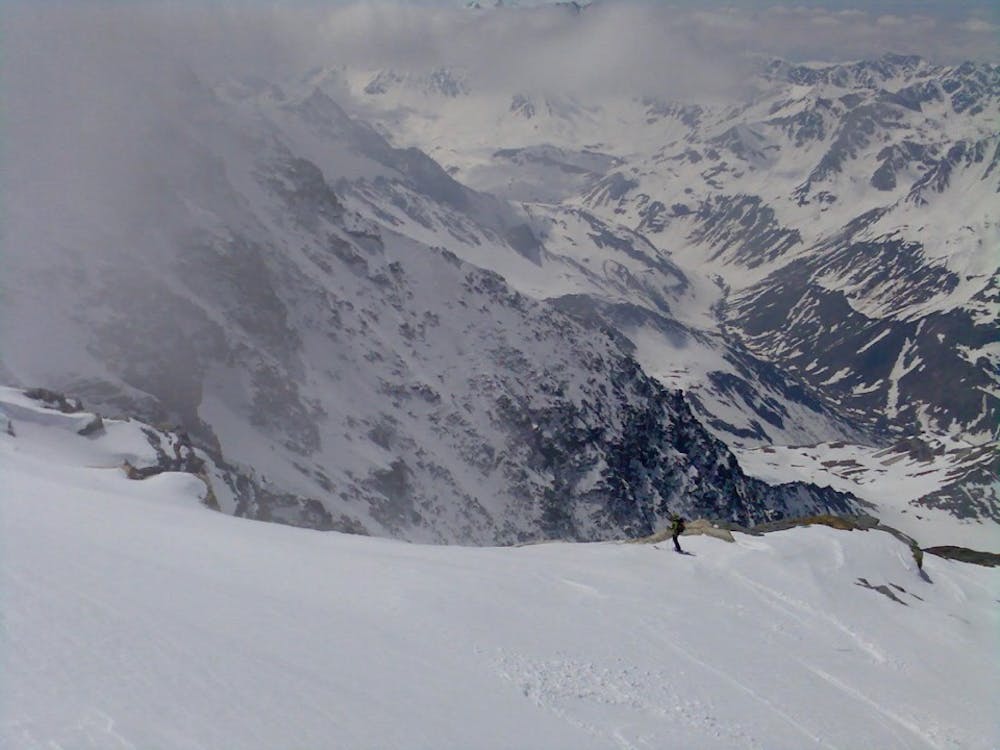
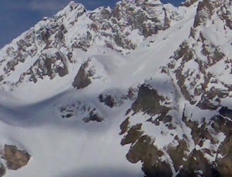
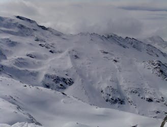
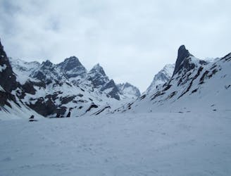
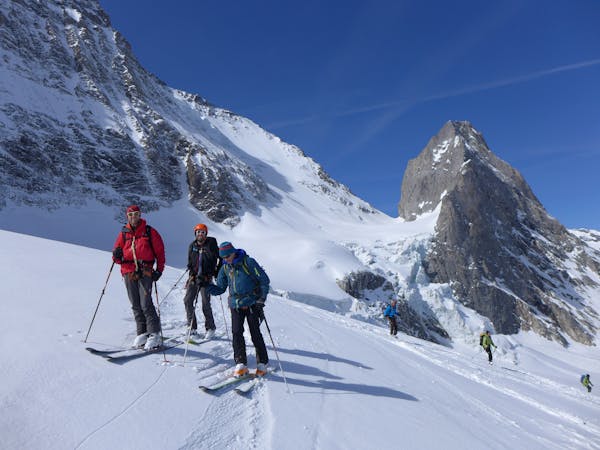
A big day up on to the Glaciers de la Vanoise
Ski Touring Difficult

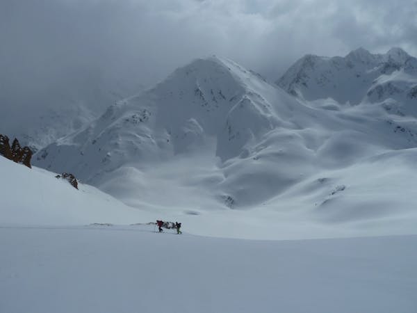
This is a big day taking in 2 of the summits of the Glaciers de la Vanoise ice cap. If starting from Pralognan (in winter-time before the road opens) this is a big day with over 2100m of vertical height gain. This can be reduced by starting from the Roc de la Pêche refuge or the Valette refuge (un-guardianed in winter). In spring-time, once the road is open, drive up to the Pont de Gerlon (or beyond) thereby taking the sting off the initial approach.
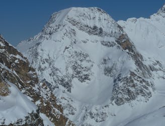
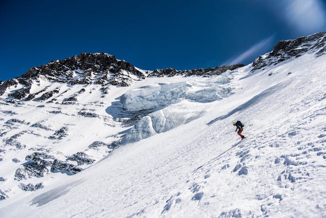
From Pont de Gerlon follow the road then branch left opposite the hamlet of Les Prioux. At about 2000m pull left around the shoulder and into the Vallon des Nants. Above 2300m trend leftwards towards the Col des Thurges, giving a reasonably wide berth to the slopes directly below the west face of the Dôme des Sonnailles (which is prone to avalanches/sluffs running down the gullies). From the col climb more steeply up west and north-west facing slopes to reach the ice cap a quick detour can be made to ‘bag’ the Dôme des Sonnailles before continuing up to the Dôme des Nants. (The keen peak-bagger can add in the Dôme de Chasseforêt on the way up or down in return for a little extra climbing.)
From the summit reverse the route of ascent taking care not to be drawn into the tempting gullies that branch off left before the slopes above the Col des Thurges - most of these end with an icefall of varying size…!
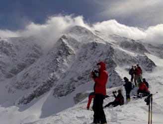
Difficult
Serious gradient of 30-38 degrees where a real risk of slipping exists.

As well as the slope itself, there are some obstacles (such as rock outcrops) which could aggravate injury.

Little chance of being seen or helped in case of an accident.
327 m away
A very comfortable hut and an ideal entry point into the Vanoise national park.
Easy Ski Touring
1.5 km away
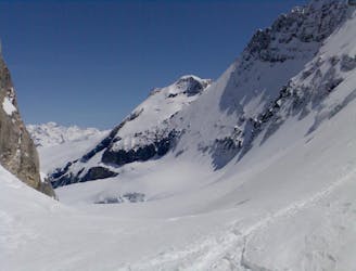
Spring snow heaven!
Difficult Ski Touring
1.5 km away
A fine summit for a short day tour.
Moderate Ski Touring
1.6 km away
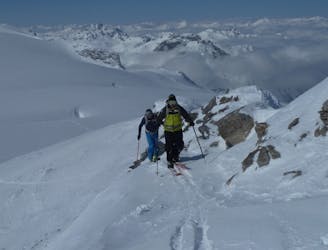
An enjoyable tour in the shadow of the Glaciers de la Vanoise.
Moderate Ski Touring
3.1 km away
A traverse from Pralognan to Chapagny-le-Haut through stunning scenery.
Moderate Ski Touring
3.3 km away
A great 'medium-steep' spring snow line.
Difficult Ski Touring
3.3 km away
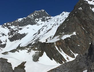
A prominent summit at the north end of the Glaciers de la Vanoise icecap.
Moderate Ski Touring
3.3 km away
A great tour for spring snow seekers.
Difficult Ski Touring
3.4 km away
An early start will be needed for this east-facing couloir.
Difficult Ski Touring
5.5 km away
One of the easier ski tours linking Courchevel and Pralognan
Difficult Ski Touring
5 routes · Ski Touring
5 routes · Ski Touring
11 routes · Ski Touring

4 routes · Ski Touring