21 m away
Col du Génépy
An enjoyable tour in the shadow of the Glaciers de la Vanoise.
Moderate Ski Touring
- Distance
- 16 km
- Ascent
- 1.4 km
- Descent
- 1.4 km
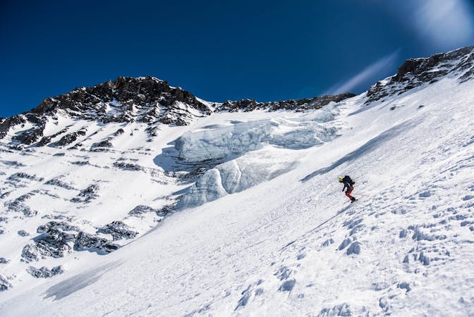
A fine summit for a short day tour.
Ski Touring Moderate

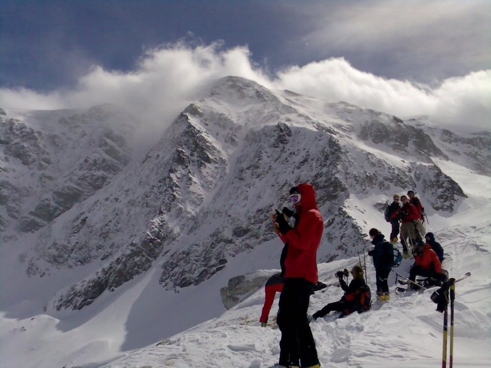
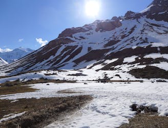
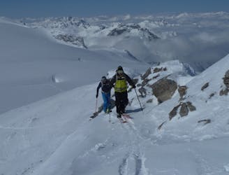
The Roc du Blanchon is a 2747m summit which gives a great day tour in its own right from Pralognan, or an easy day on the way in to or out of the Roc de la Pêche refuge as part of a multi-day tour in the Vanoise. The route described starts from the spring-time parking which is normally just before the Pont de Gerlon. In the winter months the start will be made from Pralognan itself, following the cross-country tracks to reach the same point, adding 2 kms and 150m of extra uphill.
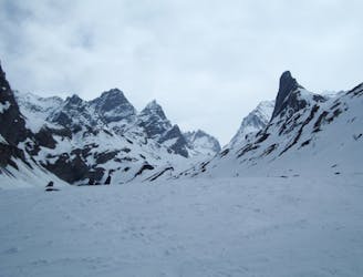
From the Pont de Gerlon follow the main road to just beyond the obvious gorge of the Torrent des Nants (opposite the hamlet of Les Prioux) - head generally south-east from here up Les Béveriers (some bush-whacking may be necessary depending on snow cover) trending slightly rightwards until at about 2200m you enter an open bowl - follow this to the summit. The views onto the west face of the Dome des Nants and over to the skyline above the Roc de la Pêche are great and worth the effort on their own.
It is also possible to reach the summit by following the Nants valley - for this break left at either 2000m or 2100m (look for the claw of rock) as you skin up Les Béveriers. Follow the general line of ascent on the way down. Although north-west facing it is usually possible to play with the aspects to find cold snow. If you are going to (or coming from) the Roc de la Pêche) then you can hang a left at about 2200m and take a diagonal line toward the Plan des Bôs and Montaimont to then cross the river a few hundred metres upstream, with a very short climb out to the refuge.
Moderate
Slopes become slightly steeper at around 25-30 degrees.

Exposure is limited to that of the slope itself. Getting hurt is still likely if the slope is steep and/or the snow is hard.

Little chance of being seen or helped in case of an accident.
21 m away
An enjoyable tour in the shadow of the Glaciers de la Vanoise.
Moderate Ski Touring
41 m away
Spring snow heaven!
Difficult Ski Touring
1.5 km away
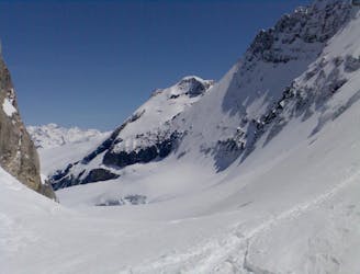
A big day up on to the Glaciers de la Vanoise
Difficult Ski Touring
1.9 km away
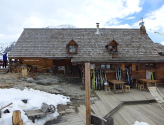
A very comfortable hut and an ideal entry point into the Vanoise national park.
Easy Ski Touring
4 km away
A fantastic journey to a traditional rustic French hut in the Maurienne .
Moderate Ski Touring
4.6 km away
A traverse from Pralognan to Chapagny-le-Haut through stunning scenery.
Moderate Ski Touring
4.7 km away
A great 'medium-steep' spring snow line.
Difficult Ski Touring
4.7 km away
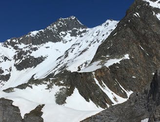
A prominent summit at the north end of the Glaciers de la Vanoise icecap.
Moderate Ski Touring
4.8 km away
A great tour for spring snow seekers.
Difficult Ski Touring
4.8 km away
An early start will be needed for this east-facing couloir.
Difficult Ski Touring
5 routes · Ski Touring
11 routes · Ski Touring

4 routes · Ski Touring