30 m away
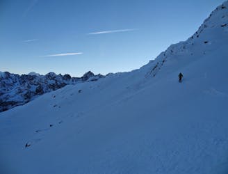
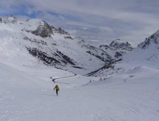
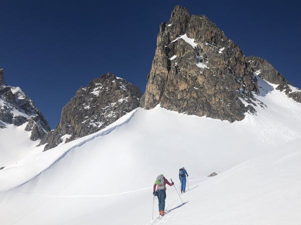
Mont Thabor Circuit / Summit. Drayeres Hut to I Re Magi Hut.

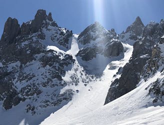
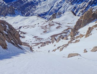
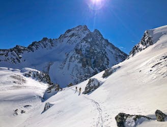
The iconic ski peak of the area. A must do summit with incredible views and a big spring descent to a brilliant hut.
Difficult Ski Touring
- Distance
- 16 km
- Ascent
- 1.3 km
- Descent
- 1.7 km