817 m away
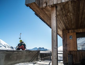
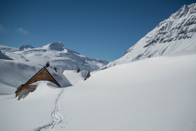
Refuge de la Leisse Ski Tour
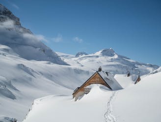
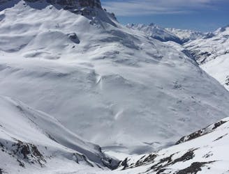
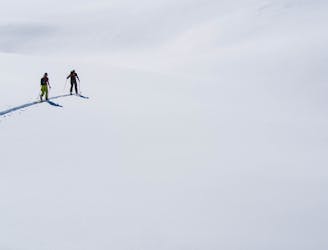
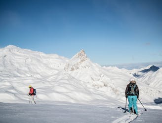
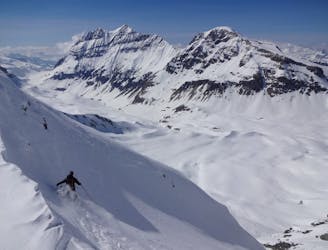
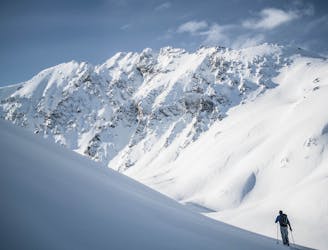
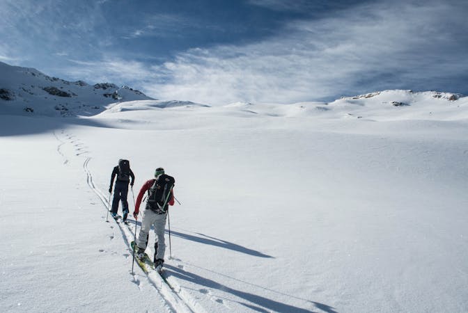
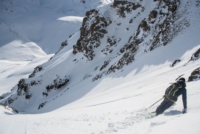
What this ‘descent’ lacks in quality skiing, it more than makes up with some of the most stunning ski touring available for beginner backcountry skiers.
Easy Ski Touring
- Distance
- 6.6 km
- Ascent
- 366 m
- Descent
- 375 m