2 km away
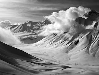
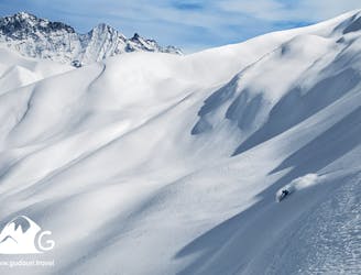
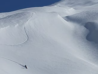
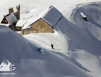
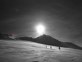
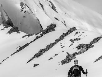
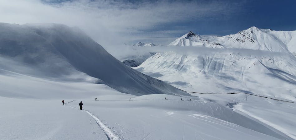
Backcountry skiing in the area of Sheli and Miketi Mountains.
The vast snowfields of Shele and the giant ridges of Miketi form an opportunity to leave your epic line on untouched powder - the dream of every freerider.
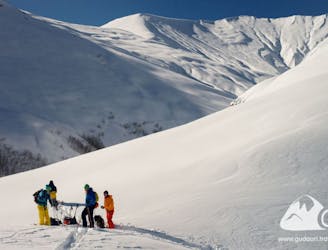
Moderate Ski Touring
- Distance
- 7.9 km
- Ascent
- 926 m
- Descent
- 926 m