4.3 km away
Potsdam to Saarmund Across the Ravensberg Hills
Explore the famous Telegrafenberg region and climb Potsdam's highest mound.
Difficult Hiking
- Distance
- 14 km
- Ascent
- 220 m
- Descent
- 218 m
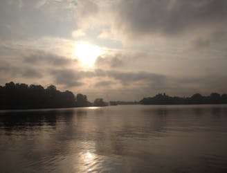
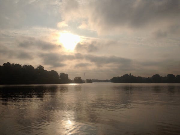
Explore the Wannsee area by foot on a 4-5 hour hike through forests, across rivers, and next to the Großer Wannsee lake.
Hiking Moderate

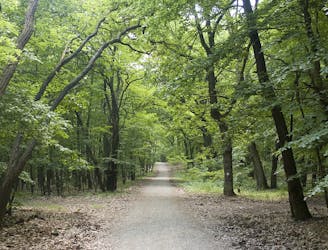
Wannsee is a great place to go for the day if you want to swap the grey concrete of inner-city Berlin for leafy green woodlands and a magnificent lake. This adventure takes you through a variety of nature in the Wannsee area, making it more interesting than if you were to just stick to the lakeshore.
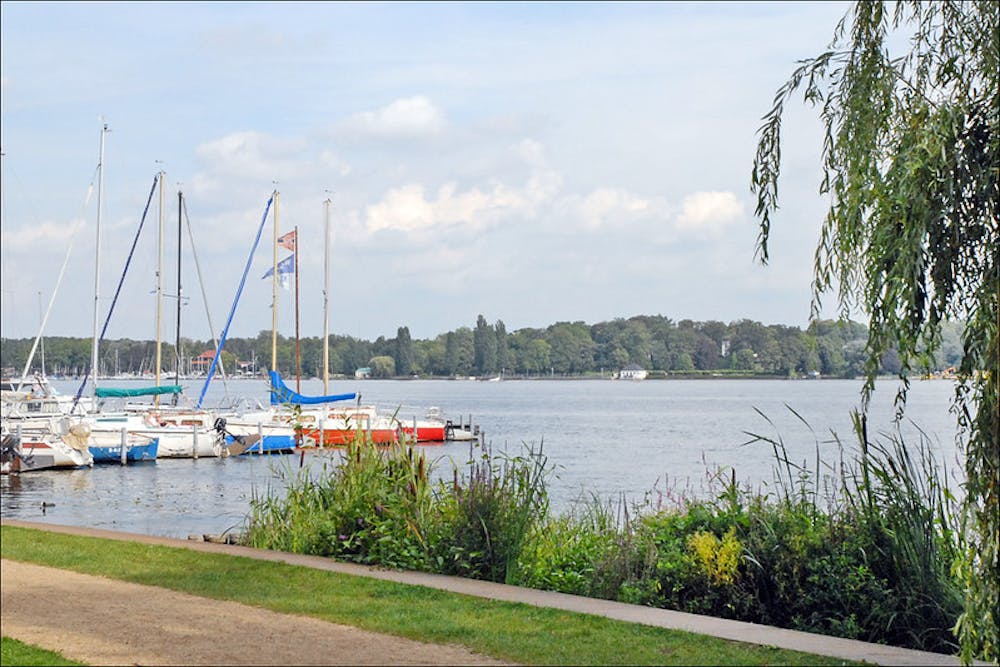
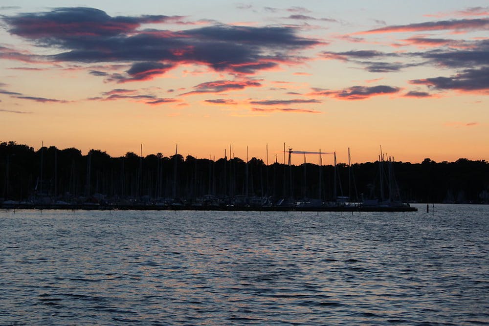
Beginning and ending at Wannsee S Bahn station, head west along the Griebnitzsee, crossing over to Düppeler Forst just before you come to Glienicker Lake. Continue in a clockwise direction around the shoreline of Düppeler Forst, passing Glienicker Park on your right-hand side and großer Wannsee lake on your left. Cross over the Kleiner Wannsee, then go across Großes Fenn, before crossing over the river once again, passing a campsite on your right. Continue on through the dense forest, before entering a residential area, when you will quickly find yourself back at your starting point, the Wannsee S-Bahn station.
Moderate
Hiking along trails with some uneven terrain and small hills. Small rocks and roots may be present.
4.3 km away
Explore the famous Telegrafenberg region and climb Potsdam's highest mound.
Difficult Hiking
5.4 km away
An easygoing walk in the countryside around the historic border town Kleinmachnow.
Easy Hiking
8.5 km away
Discover the natural and historical wonders of Groß Glienicke by foot.
Easy Hiking
5 routes · Hiking