9.6 km away
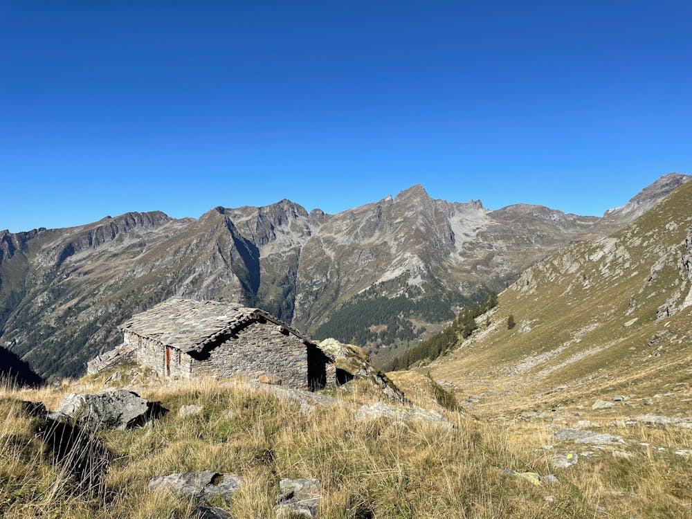
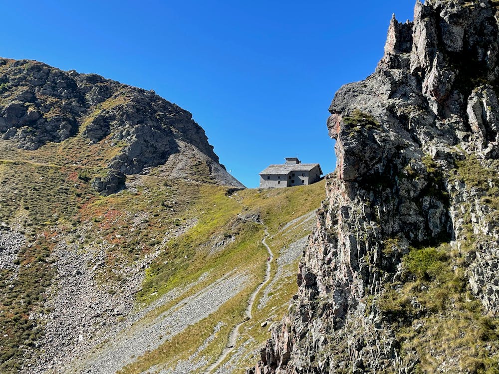
La Tchavana Hut
Hike to an incredible alpine hut that's home to the highest elevation cheese cellar in Europe!
Difficult Hiking
- Distance
- 9.4 km
- Ascent
- 483 m
- Descent
- 483 m
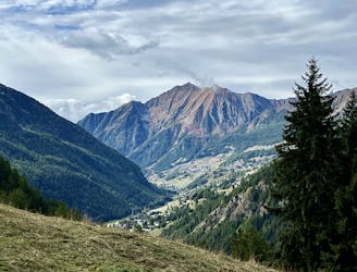
Anello colle Valdobbiola - rifugio Sottile da Gressoney
Hiking Moderate

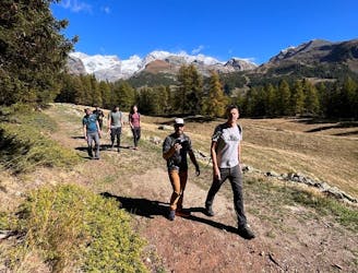
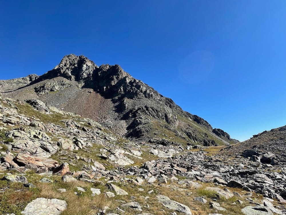
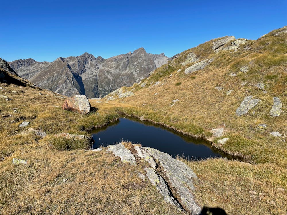
This is a popular hiking route which is generally considered to be moderate. It's remote, it features medium exposure and is typically done between June and October. From a low point of 1.4 km to the maximum altitude of 2.6 km, the route covers 17 km, 1357 vertical metres of ascent and 1357 vertical metres of descent.
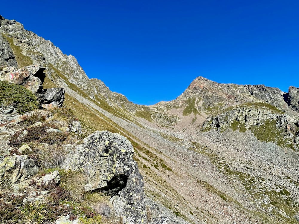
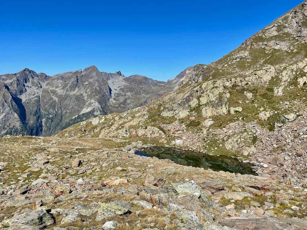
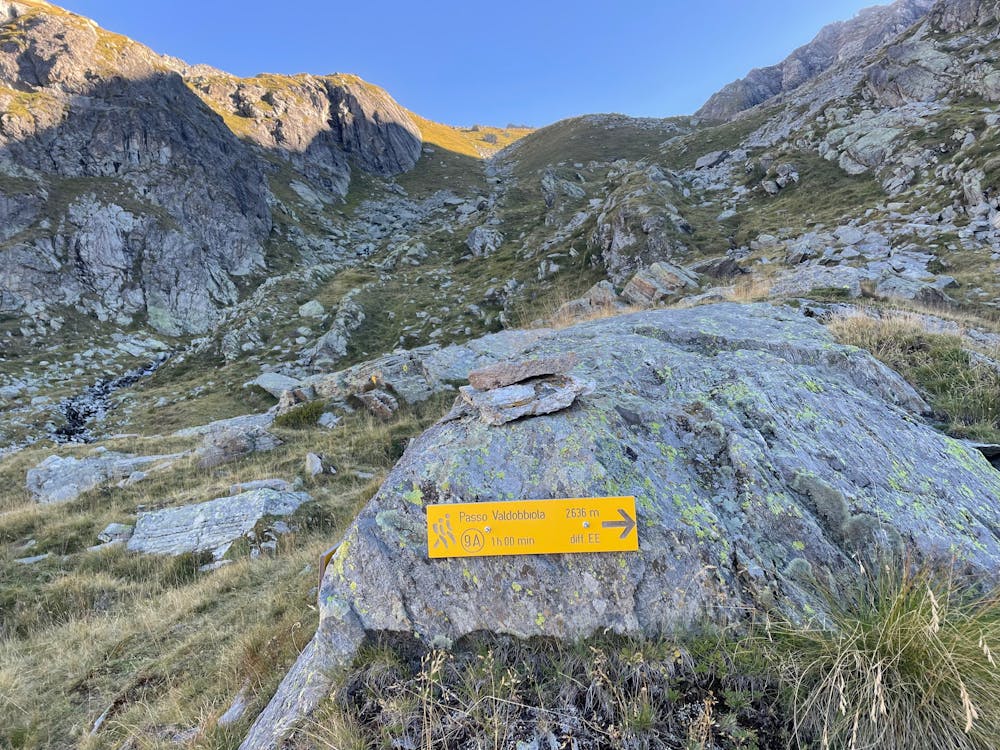
Wild loop starting from gressoney toward colle Valdobbiola, traverse to rifugio Sottile and final descent through Valle dei Principi
Moderate
Hiking along trails with some uneven terrain and small hills. Small rocks and roots may be present.

The trail contains some obstacles such as outcroppings and rock which could cause injury.
Away from help but easily accessed.
9.6 km away
Hike to an incredible alpine hut that's home to the highest elevation cheese cellar in Europe!
Difficult Hiking
9.6 km away
This hike may be short, but the uphill grind is steep!
Difficult Hiking
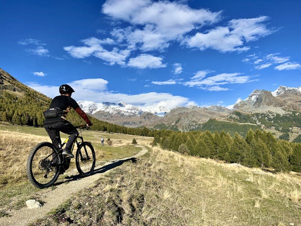
3 routes · Mountain Biking · Hiking