9.3 km away
La Tchavana Hut
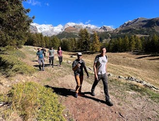
Hike to an incredible alpine hut that's home to the highest elevation cheese cellar in Europe!
Difficult Hiking
- Distance
- 9.4 km
- Ascent
- 483 m
- Descent
- 483 m
Da valle gressoney
Hiking Difficult

This is a popular hiking route which is generally considered to be difficult. It's remote, it features high exposure and is typically done between May and November. From a low point of 1.4 km to the maximum altitude of 3.3 km, the route covers 16 km, 1960 vertical metres of ascent and 1960 vertical metres of descent.
Da Stafelte si sale ad Alpenzu, poi al colle pinter e fino in cima alla testa grigia
Difficult
Hiking trails where obstacles such as rocks or roots are prevalent. Some obstacles can require care to step over or around. At times, the trail can be worn and eroded. The grade of the trail is generally quite steep, and can often lead to strenuous hiking.

Some trail sections have exposed ledges or steep ascents/descents where falling could cause serious injury.

Away from help but easily accessed.
9.3 km away
Hike to an incredible alpine hut that's home to the highest elevation cheese cellar in Europe!
Difficult Hiking
9.3 km away
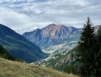
This hike may be short, but the uphill grind is steep!
Difficult Hiking
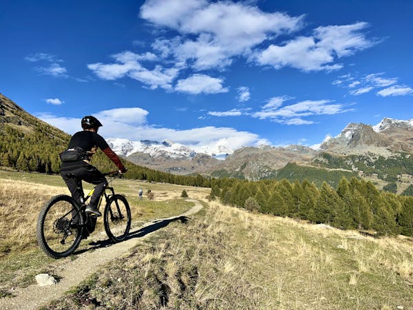
3 routes · Mountain Biking · Hiking