FATMAP by Strava

Tour du Mont Blanc: Day 4 Variant

Courmayeur

A significant addition to the day but one which rewards your efforts

Hiking Difficult

Distance
13 km
Ascent
552 m
Descent
1.3 km
Duration
3-4 hrs
Low Point
1.2 km
High Point
2.4 km
Gradient
17˚
Tour du Mont Blanc: Day 4 Variant Map

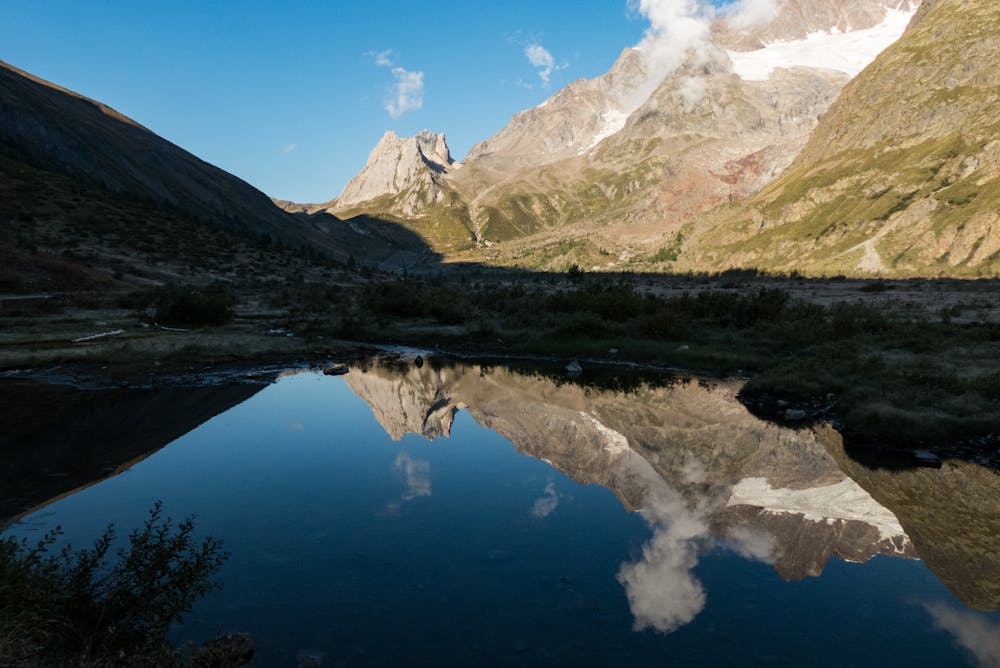
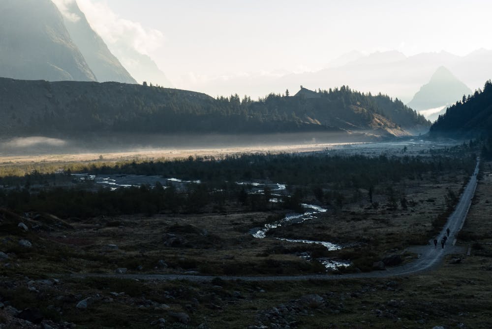
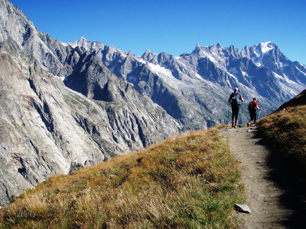
If, upon reaching Lac de Combal (on the way down from the Col de la Seigne), you still feel keen and energetic, there is a way of walking to Courmayeur, thereby avoiding needing the bus. Just before reaching the small bridge at the eastern end of Lac de Combal, turn off right on a good path, heading for the Arp Vielle and the Col Chécroui. The path climbs steeply for 400 vertical metres and then makes a long, undulating traverse to the Col Chécroui (1956 metres). From here, follow jeep tracks that wind, for 1.5 hours, down to Courmayeur.

Difficulty

Difficult

Hiking trails where obstacles such as rocks or roots are prevalent. Some obstacles can require care to step over or around. At times, the trail can be worn and eroded. The grade of the trail is generally quite steep, and can often lead to strenuous hiking.

Similar routes nearby

Guidebooks in this area