4.5 km away
The Boccalatte Hut.
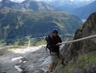
An exceptional, adventurous hike featuring some sections of easy via ferrata and exposed terrain.
Extreme Hiking
- Distance
- 4 km
- Ascent
- 1.2 km
- Descent
- 0 m
Day 5: Although this day is more of a detour than anything, it is a wonderful one in good weather. If the weather is bad or you're pushed for time, get the bus from Courmayeur to Arp Nouva to join stage 6 and skip out this stage.
Hiking Difficult

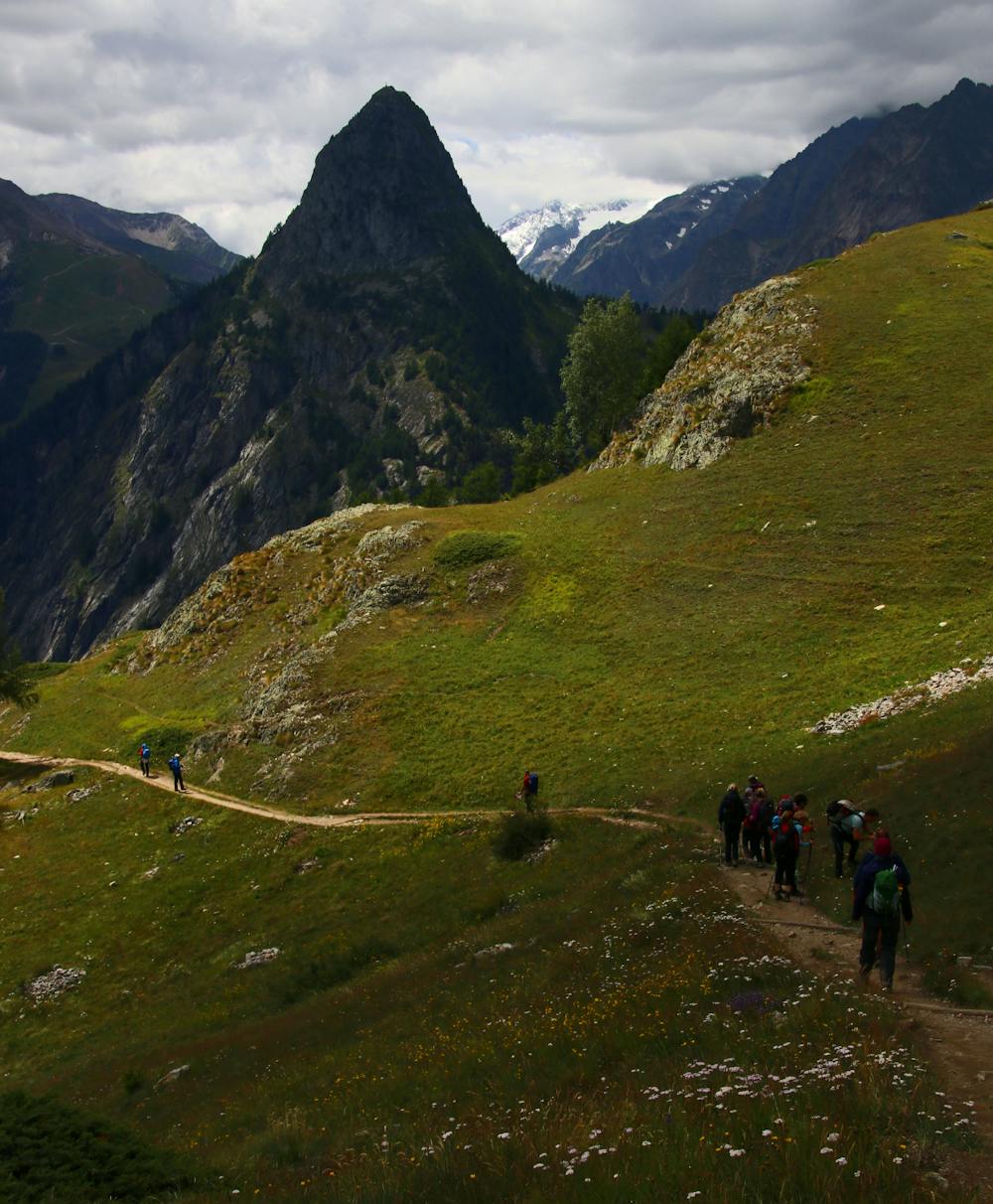
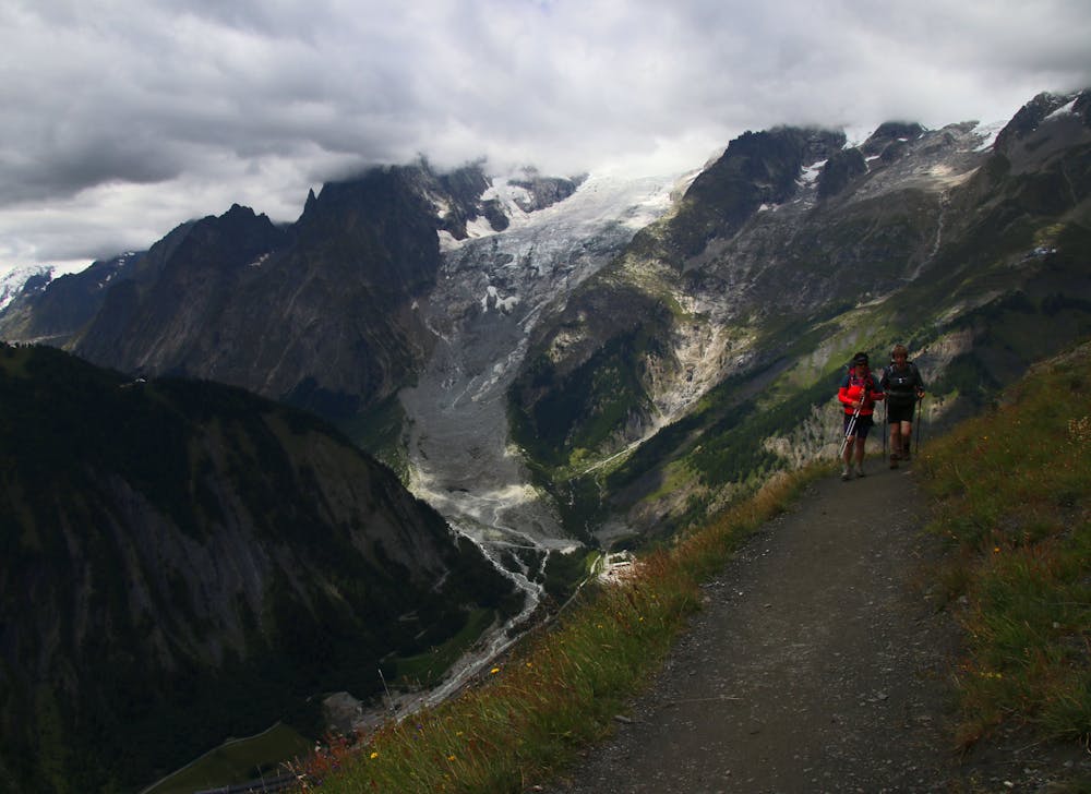
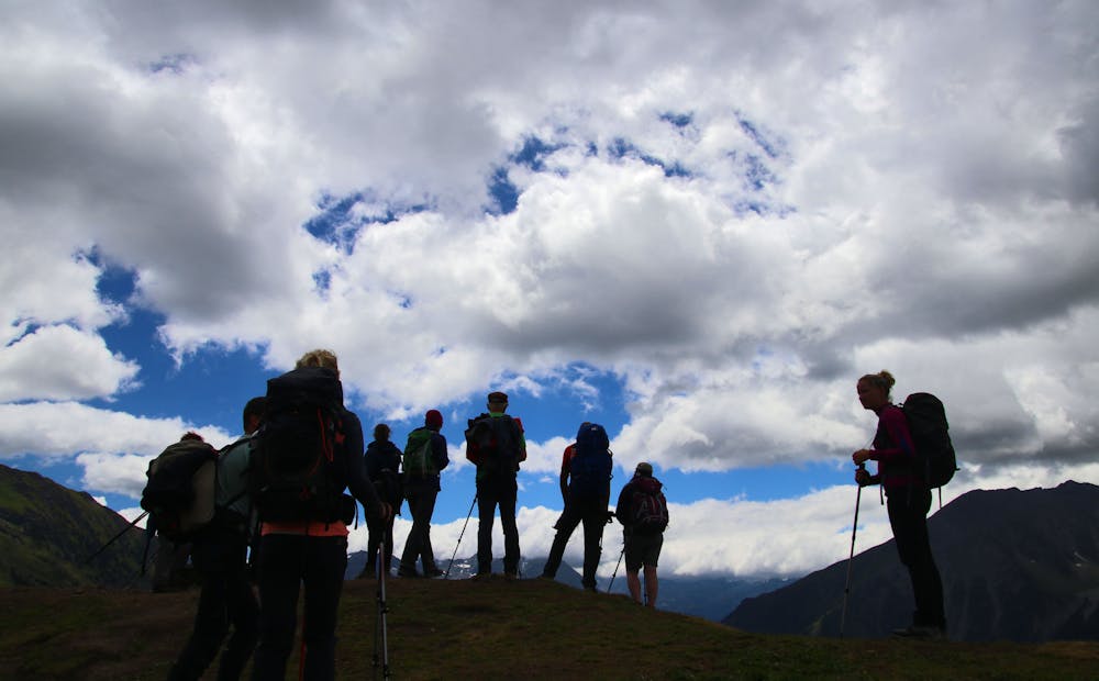
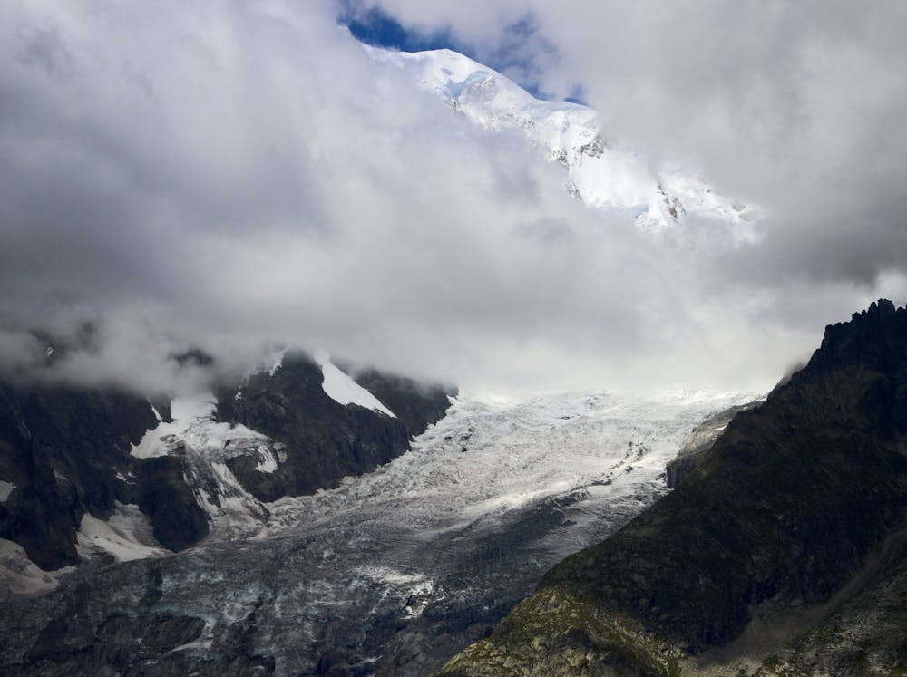
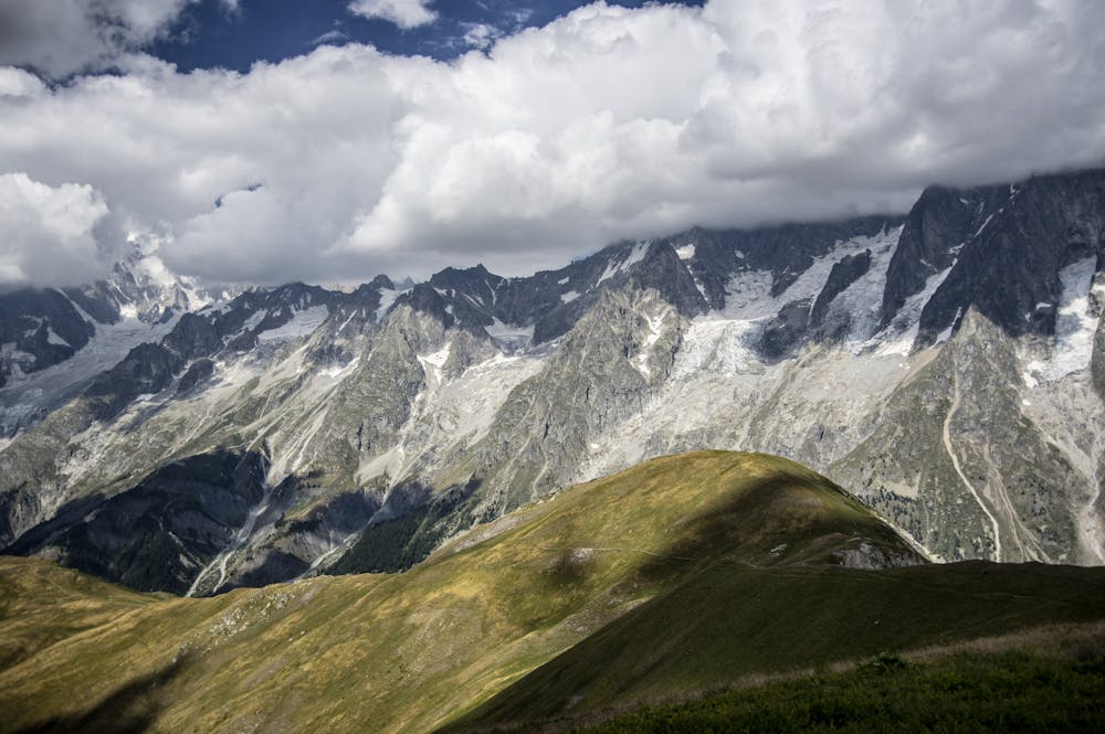
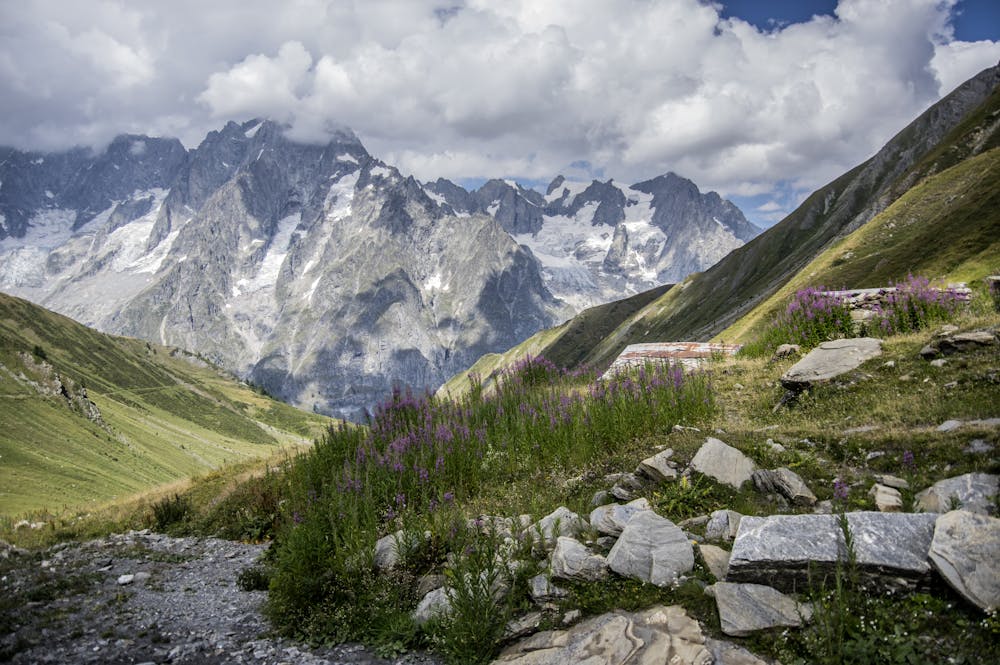
From the Catholic church in the centre of Courmayeur follow the Strada del Villair road north-northeast for 1 kilometre to the Stella Alpina hotel. At this stage the road continues in the same direction but is called the Rue Val Sapin from here onwards. Keep following it for a further 600 metres as it climbs to a bridge and a parking area and becomes a gravel jeep track. Follow the jeep track as it continues to climb. After 600 metres a large path, signposted for the Rifugio Bertone (1991 metres), branches off left. Take this and make the long, sweaty climb up to the Rifugio Bertone. The climb takes 1.5 hours and is hard going but the situation and warm welcome of the Rifugio are worth the effort. Once suitably refreshed, continue northeast up and onto the Monte de la Saxe ridge. It takes 40 minutes to reach the ridge crest and an hour to follow it. The hour on the ridge is one of the highlights of the whole Tour du Mont Blanc; there are perfect views of the Grandes Jorasses, Dent du Géant and Mont Blanc's Peuterey ridge - the longest ridge in the Alps. From the summit of the ridge (2348 metres), drop down northeast towards the tiny farming settlement of Armina. Pass just underneath the Rifugio Bonatti and continue descending to the village of Lavachey (1642 metres).

Difficult
Hiking trails where obstacles such as rocks or roots are prevalent. Some obstacles can require care to step over or around. At times, the trail can be worn and eroded. The grade of the trail is generally quite steep, and can often lead to strenuous hiking.
4.5 km away
An exceptional, adventurous hike featuring some sections of easy via ferrata and exposed terrain.
Extreme Hiking
8.1 km away
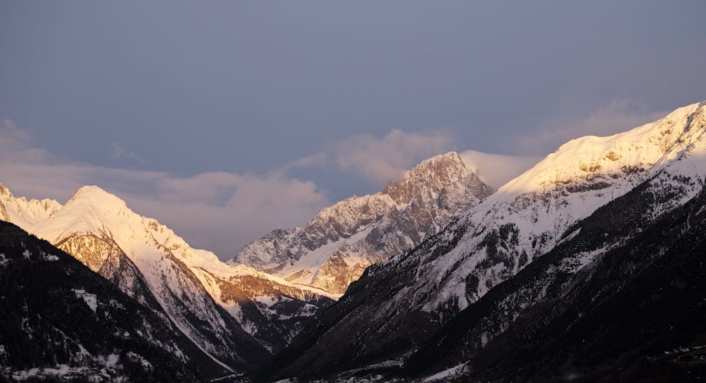
Day 6: The second border crossing and the highest col on the main Tour du Mont Blanc route.
Difficult Hiking
8.2 km away
A significant addition to the day but one which rewards your efforts
Difficult Hiking

14 routes · Hiking

9 routes · Alpine Climbing · Hiking

10 routes · Alpine Climbing · Hiking