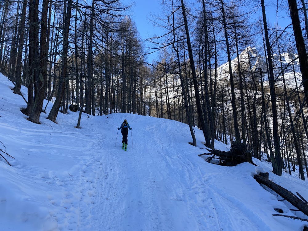
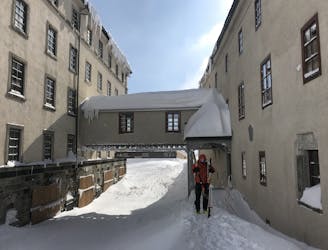
37 m away
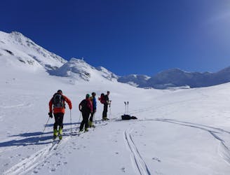
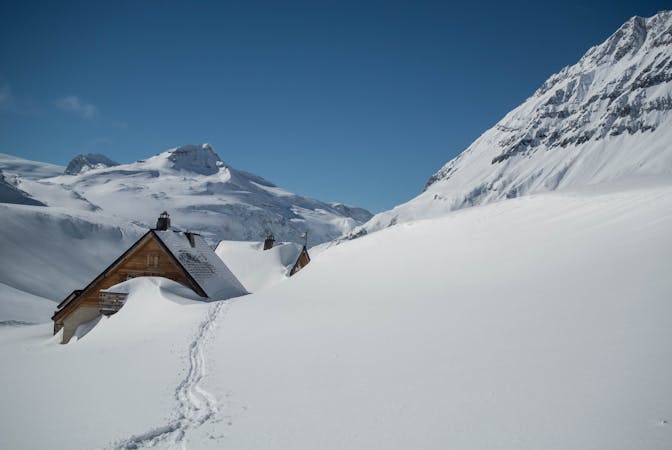
Col Sereina
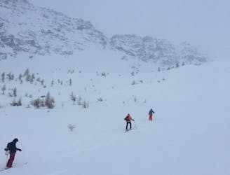
A popular ski tour with a long season and excellent skiing.
Moderate Ski Touring
- Distance
- 11 km
- Ascent
- 958 m
- Descent
- 958 m
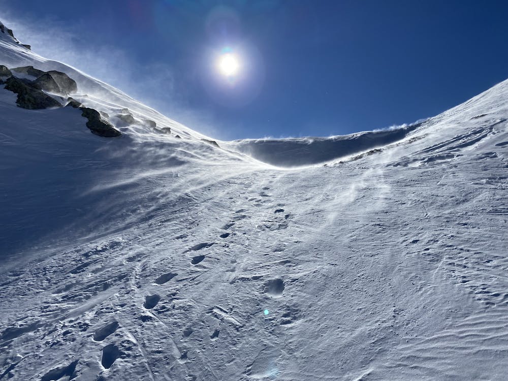
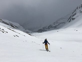
Cold at the top but a good ski down in hard grippy snow.
Ski Touring Moderate

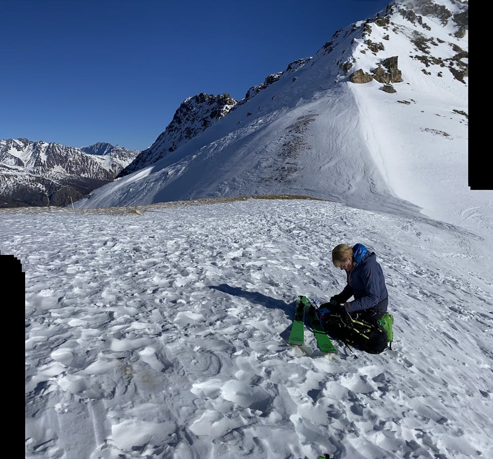
This is a popular ski touring route which is generally considered to be moderate. It's remote, it features medium exposure (e2) and is typically done between January and March. From a low point of 1.6 km to the maximum altitude of 2.6 km, the route covers 11 km, 929 vertical metres of ascent and 930 vertical metres of descent. You'll need skins to complete it safely.
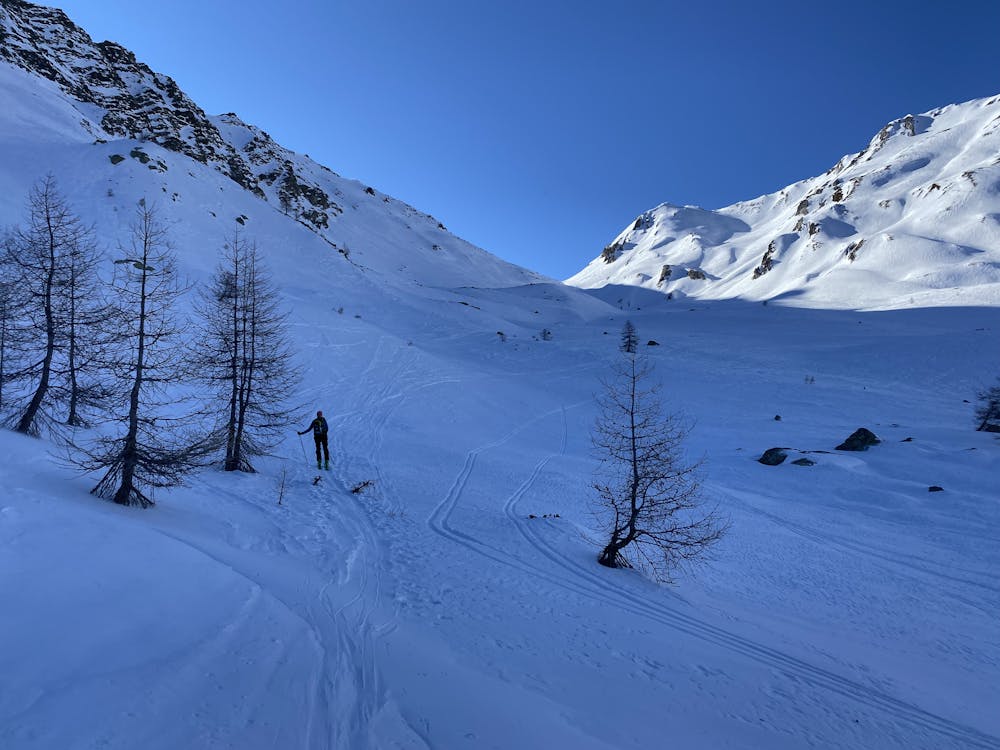
Always a great walk, winter and summer.
Moderate
Slopes become slightly steeper at around 25-30 degrees.

As well as the slope itself, there are some obstacles (such as rock outcrops) which could aggravate injury.
Away from help but easily accessed.
37 m away
A popular ski tour with a long season and excellent skiing.
Moderate Ski Touring
5.7 km away
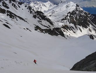
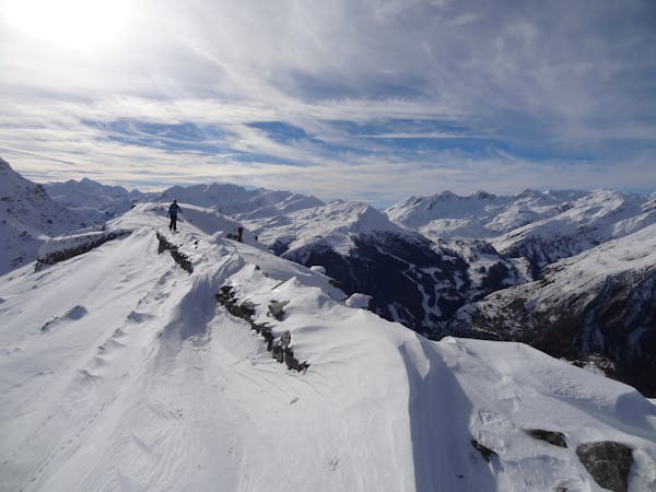
A steep and exciting descent which can easily be bailed from if conditions are poor.
Severe Ski Touring
5.7 km away
A low stress tour which can, conditions allowing, be possible anytime between November and June.
Moderate Ski Touring
5.7 km away
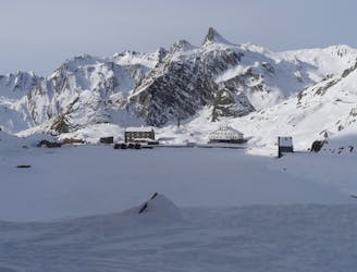
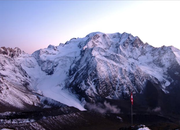
St. Bernard Hospice to Valsorey Hut: the purists approach to linking La Fouly with the Valsorey Hut.
Difficult Ski Touring
5.7 km away
A bad weather option, positioning for a big mountain day the next day
Easy Ski Touring
9.2 km away
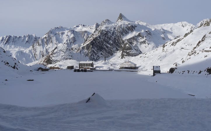
A logical link to a historic and fantastic place to spend the night
Difficult Ski Touring
9.7 km away
An ideal beginner ski tour that makes a day of going to the Grand Saint Bernard Hospice.
Easy Ski Touring
9.7 km away
A great tour on mellow terrain and which has a long season.
Moderate Ski Touring
5 routes · Ski Touring

50 routes · Freeride Skiing · Ski Touring
7 routes · Ski Touring
3 routes · Ski Touring
4 routes · Ski Touring