5.4 km away
La Thuile to Bonatti Hut
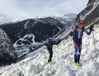
A wild and remote valley to a fabulous descent, then a long valley journey to a superb hut
Difficult Ski Touring
- Distance
- 27 km
- Ascent
- 2.1 km
- Descent
- 1.5 km
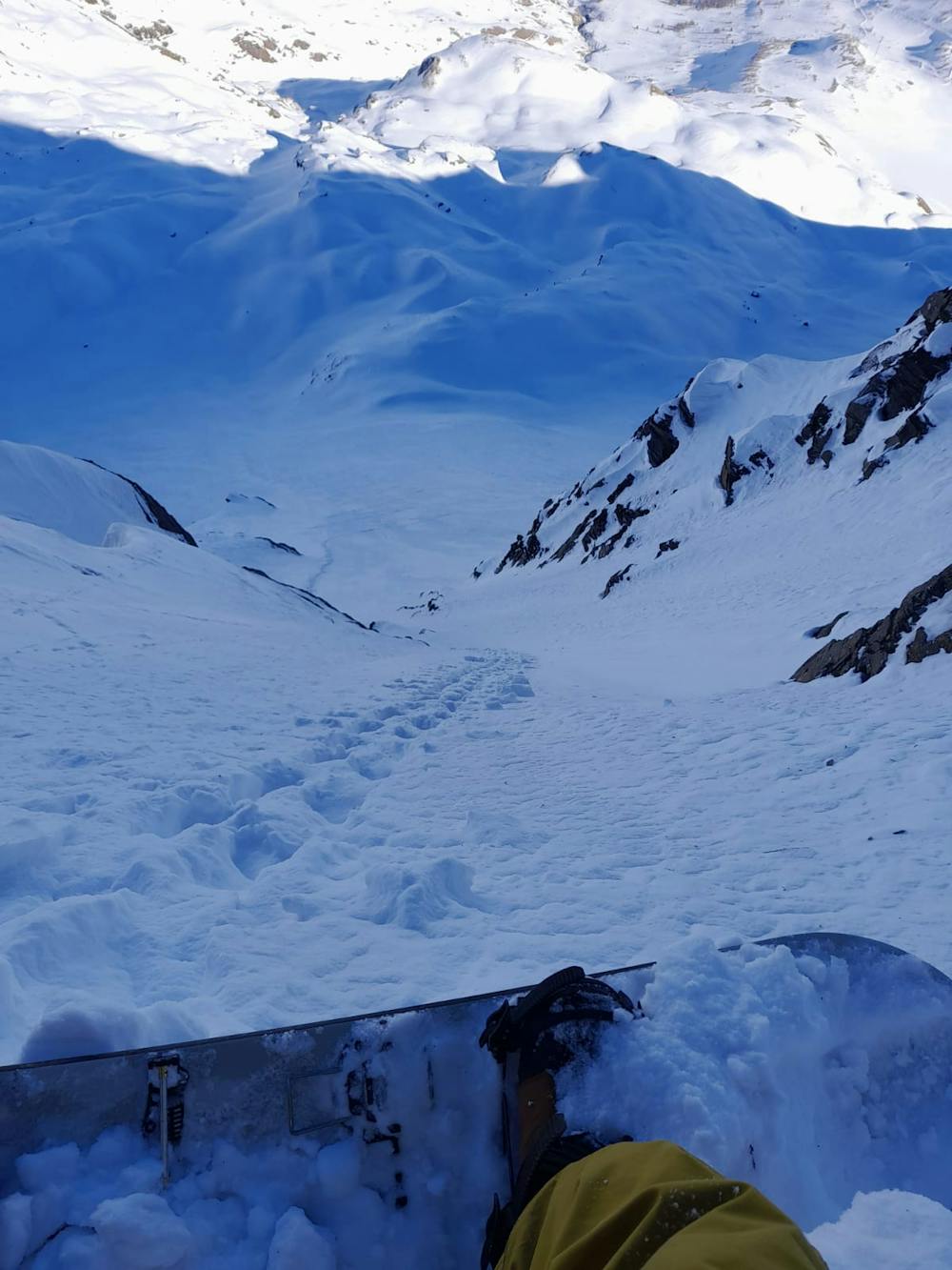
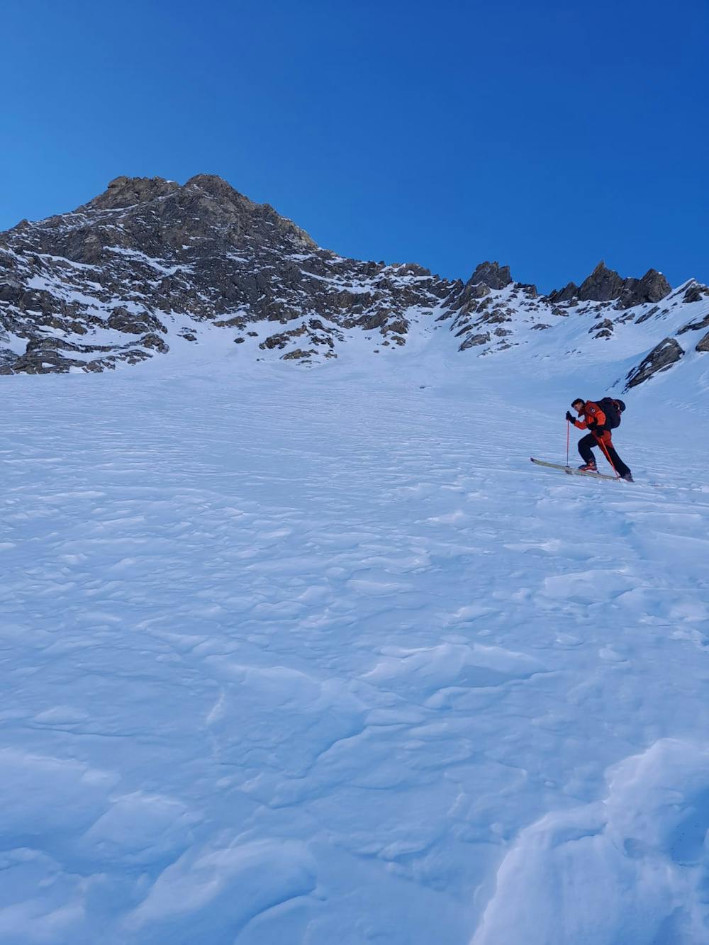
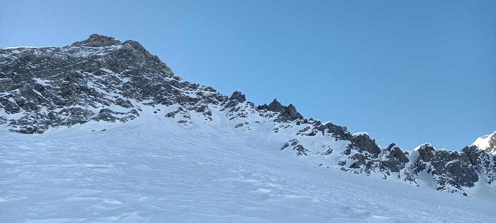
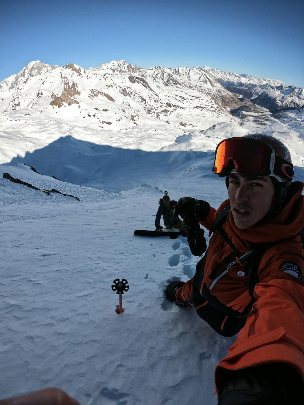
Little steep couloir that opens in a wide and steep bigmountain slope.
Ski Touring Difficult

From the lake skin up the left side of the valley to the base of the slope. Kick turns in the first part and crampons when inside the couloir. the couloir top is located 20 m under the ridgeline. Depending on the amount of snow is possible to go higher. First turns of the descent are pretty much mandatory, but after the top section you are able to go full gas. Ski back to the lake via the valley.
Difficult
Serious gradient of 30-38 degrees where a real risk of slipping exists.

As well as the slope itself, there are some obstacles (such as rock outcrops) which could aggravate injury.
Away from help but easily accessed.
5.4 km away
A wild and remote valley to a fabulous descent, then a long valley journey to a superb hut
Difficult Ski Touring
8.6 km away
A simple traverse up and down pistes, linking resort to resort across the border
Easy Ski Touring