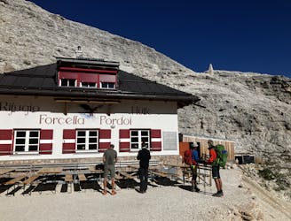


1.8 km away
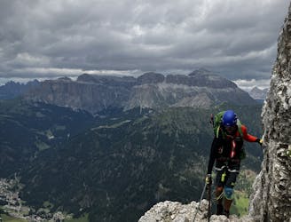
Alta Via 2 - Rifugio Pisciadu to Rifugio Boe including Piz Boe (3,152m) summit via Cesare Piazetta Via Ferrata
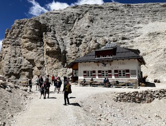
A shorter day for those heading to Rifugio Boe and Piz Boe summit. A mega day for those wanting some vertical action!
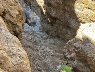
Extreme Hiking
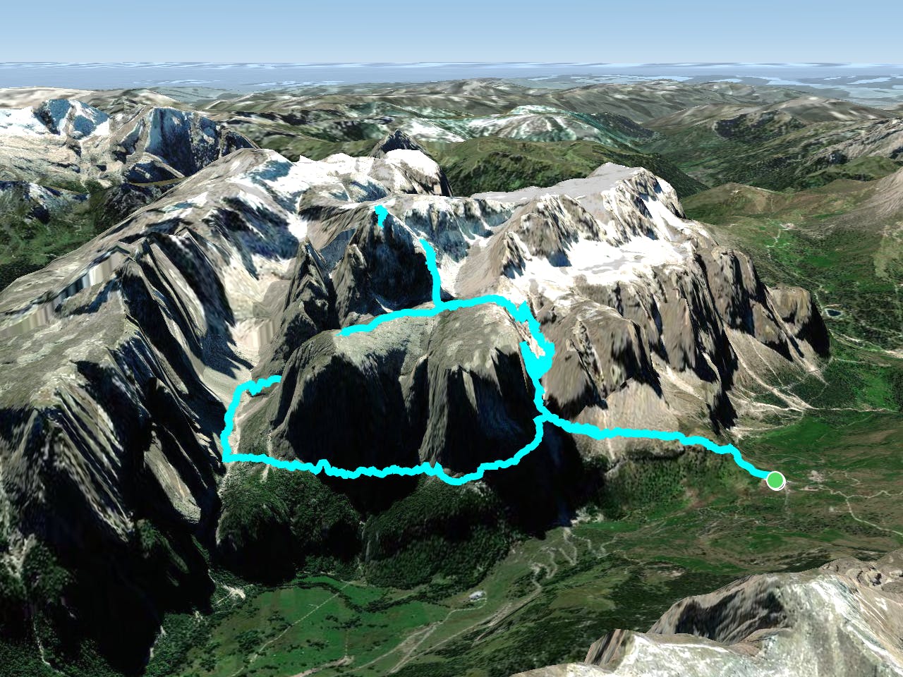
- Distance
- 10 km
- Ascent
- 1.2 km
- Descent
- 960 m