130 m away
Holy Hansen Loop
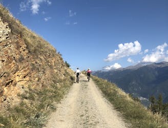
Enduro loop including Holy Hansen trail, a perfect single trail in Göflan!
Difficult Mountain Biking
- Distance
- 16 km
- Ascent
- 843 m
- Descent
- 843 m
Easy loop with a flow single-trail from Göflan
Mountain Biking Easy

This trail is definitely the best option in Vinschgau when you’re craving a quick enduro ride starting from the village.
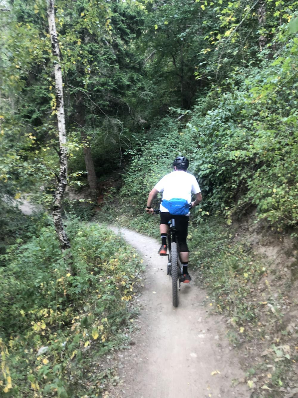
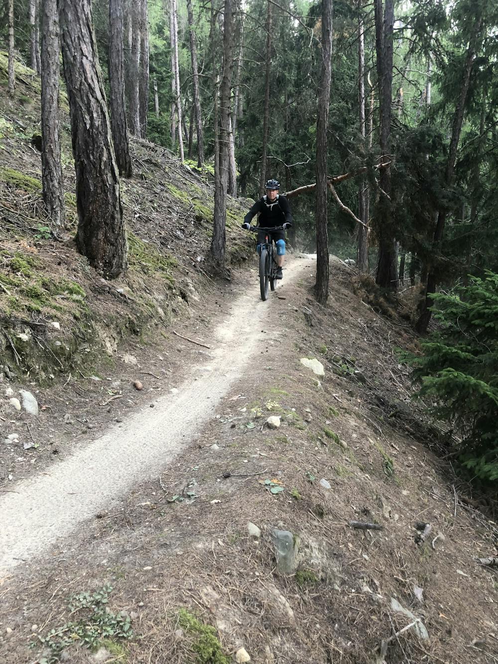
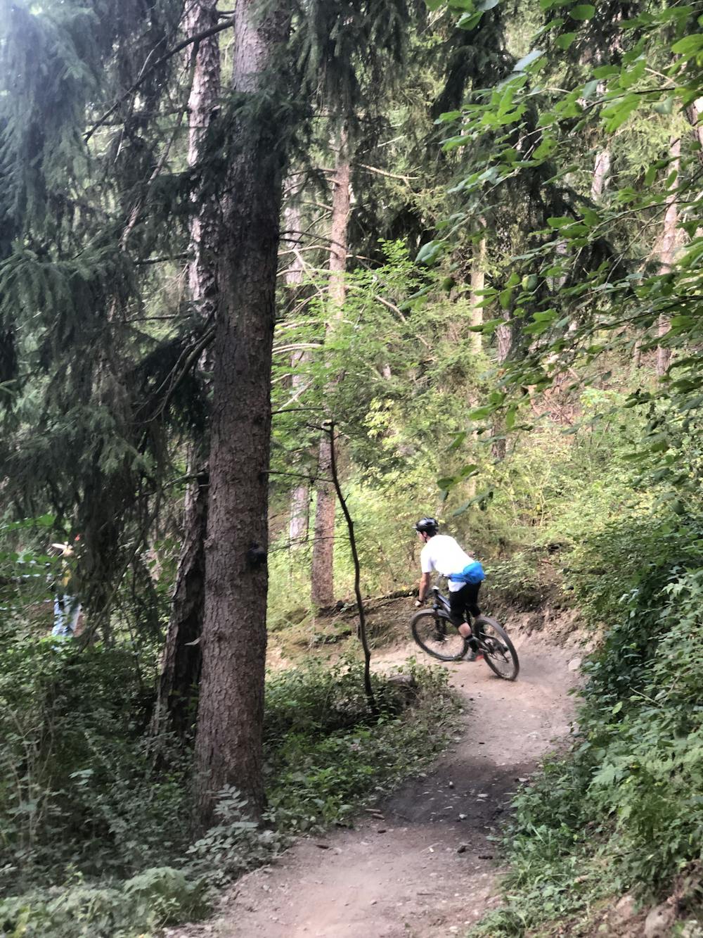
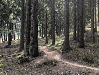
This short enduro loop starts with a climb of approximately 20 minutes from town all the way up to the entrance of the trail, which is located on the asphalt road leading to Gasthaus Hasl. The Aigen trail starts with freshly shaped berms and really smooth terrain. With a long traverse, you will cross the mountain to the east, passing next to a farm. It is a really easy trail - which is classified as S1 - but also offers fun terrain for playful riders with some small doubles and small jumps. The last section offers a little more natural trail riding, with a few sprints included.
This is an easy trail - you don’t have to expect crazy technical riding here. There are many more options in the valley for technical riding. But this trail is a really enjoyable one. This loop also provides interesting training for XC riders—I have seen different hardtails here.
Once at the bottom, you can easily transfer back to your apartment or your hotel through the numerous cycling paths connecting every small village in the valley. Alongside the cycling paths and into the villages there are many bars where you can stop for a drink and enjoy the Italian sunshine.
Easy
Mostly smooth and non-technical singletrack with unavoidable obstacles 2in/5cm tall or less. Avoidable obstacles may be present. Ideal for beginner riders.

The path is on completely flat land and potential injury is limited to falling over.
Close to help in case of emergency.
130 m away
Enduro loop including Holy Hansen trail, a perfect single trail in Göflan!
Difficult Mountain Biking
3.6 km away
Easy blue enduro trail in between Vetzan and Schlanders.
Moderate Mountain Biking
6.7 km away
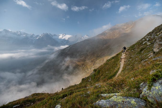
Long alpine tour, shuttle serviced for half of the climb.
Extreme Mountain Biking
7 routes · Mountain Biking