3.6 km away
Aigen Trail
Easy loop with a flow single-trail from Göflan
Easy Mountain Biking
- Distance
- 14 km
- Ascent
- 414 m
- Descent
- 414 m
Easy blue enduro trail in between Vetzan and Schlanders.
Mountain Biking Moderate

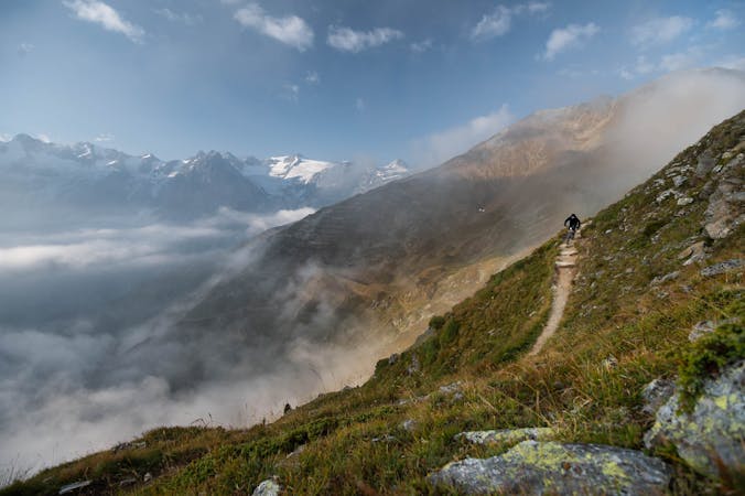
Vinschgau is a destination that definitely needs to be discovered: it has plenty of options for everyone! The Propain trail is one of those trails where everyone can have fun riding it, especially beginners!
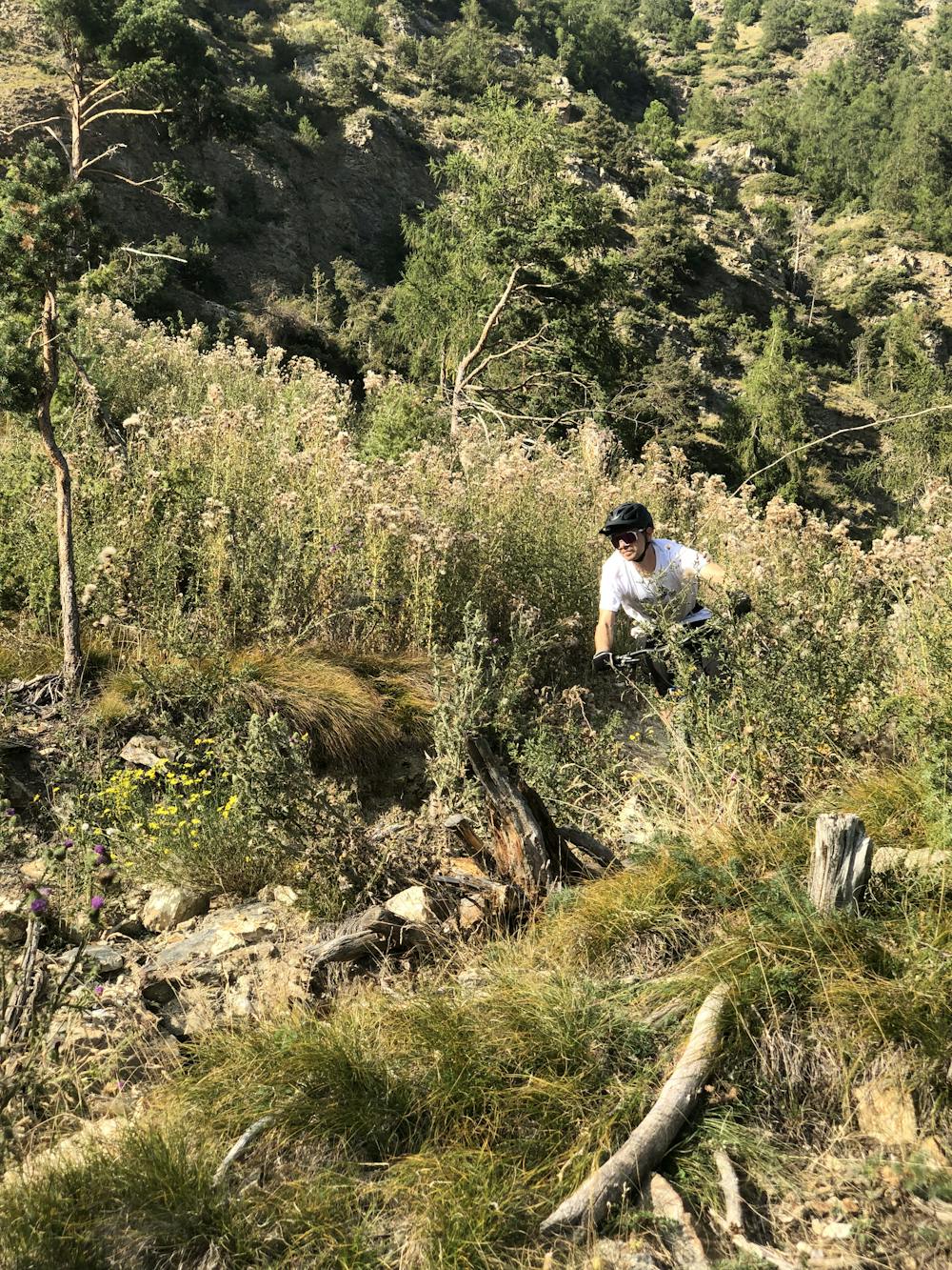
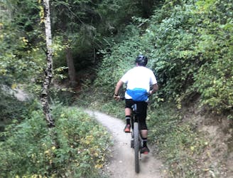
It is predominantly a very flowy trail, which doesn’t offer technical passages - only some narrow, sharp turns here and there which require good cornering technique. A complete ride from top to bottom without getting off the bike is guaranteed for newbies too!
The trail was designed as a relief for the old well-known 14er Trail above Patsch, which had suffered a lot from mountain bikers and often caused irritations between hikers and bikers. The old trail is now closed to bikers!
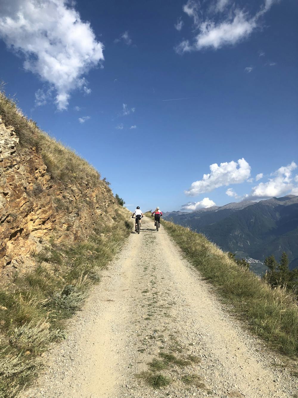
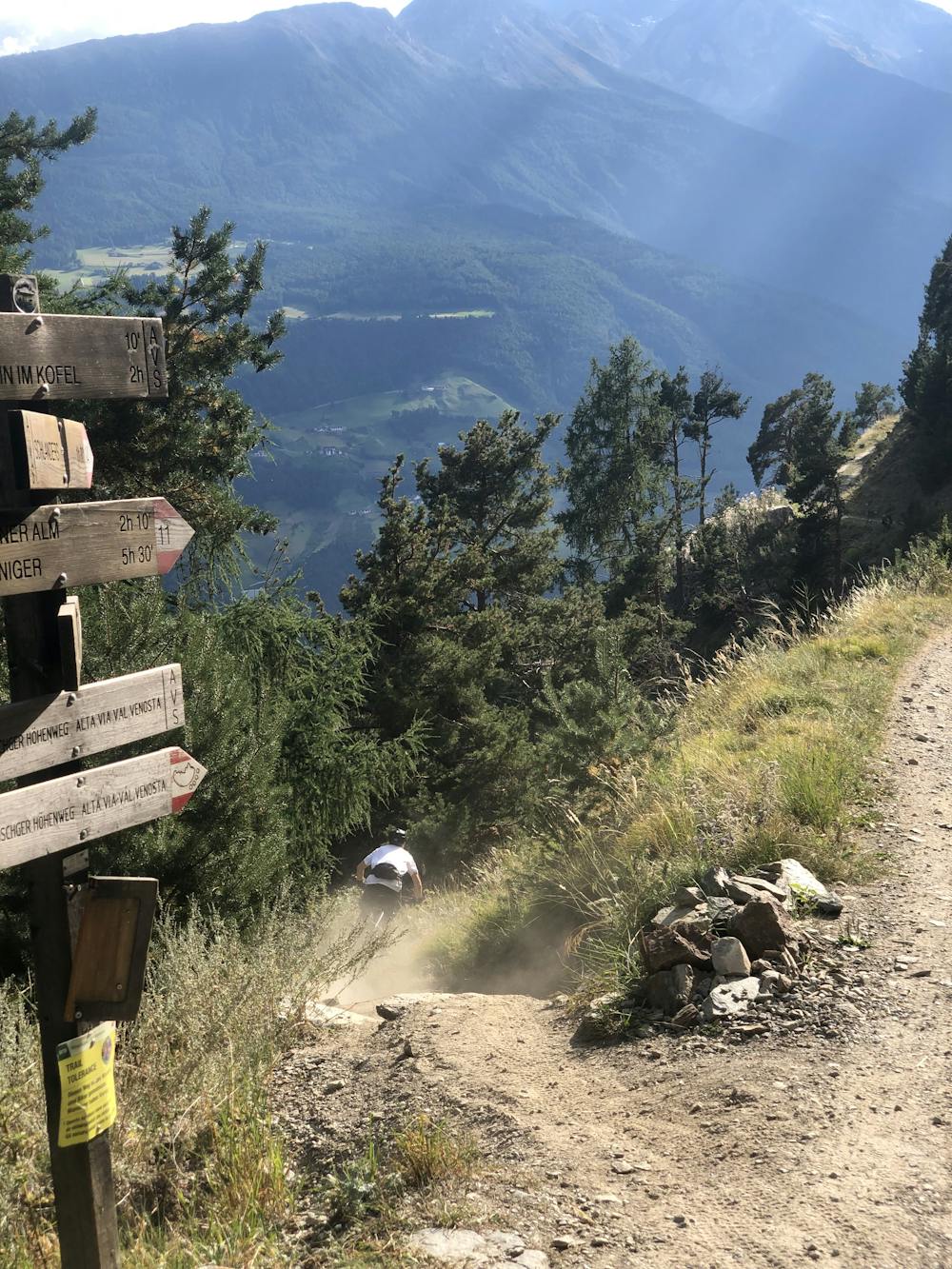
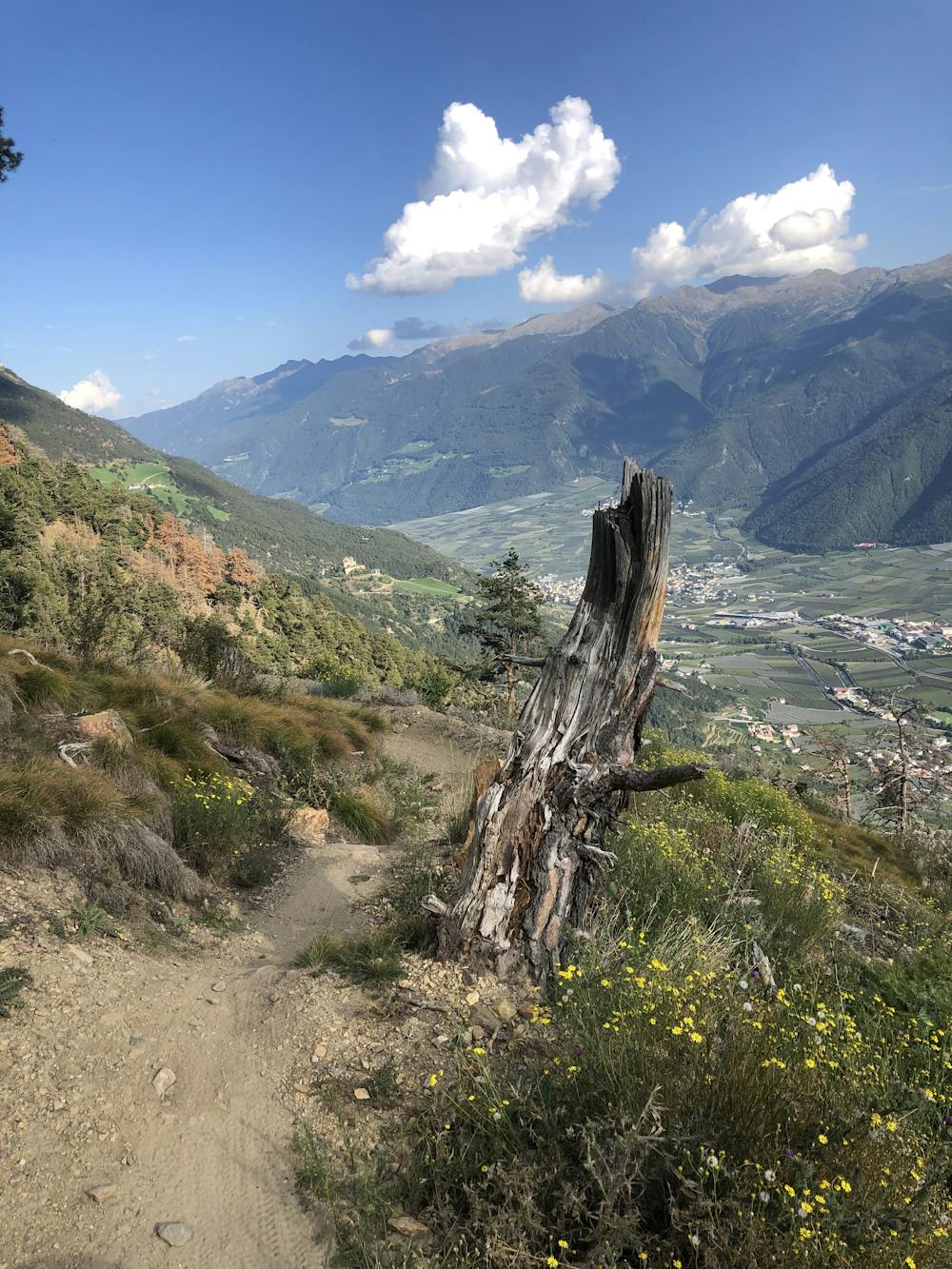
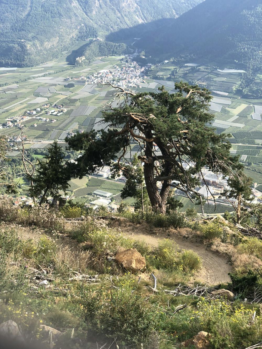
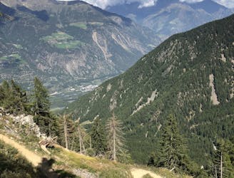
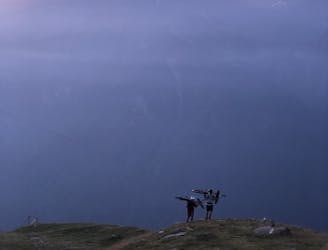
The entrance to the Propain Trail, though - for the first hundred meters - is still shared with hikers. On the upper part of the trail, no trees protect the track from the sun. It is always nice to ride in a deep forest, but the lack of trees here opens up the view of the apple orchards down the valley and the great mountain scenery with snowcapped north-facing peaks.
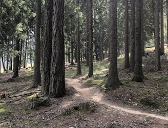
After the very first section, where it winds through steep terrain and over varied curves, the trail finally enters a sparse pine forest. The lower part requires the riders to pay attention to hikers again - please act respectfully, as the whole Vinschgau has found a perfect balance between hikers and bikers thanks to the hard work they put down over the years. Let’s help the biking community in creating an even stronger relationship with the local authorities!
The vinschgauBIKE bike school offers shuttles to the entrance of the trail. They are definitely the guys to ask when you have any questions regarding riding in this area.
Moderate
Mostly stable trail tread with some variability, with unavoidable obstacles 8in/20cm tall or less. Other obstacles such as rock gullies and steep sections may exist. Ideal for lower intermediate riders.

The trail contains some obstacles such as outcroppings and rock which could cause injury.

Little chance of being seen or helped in case of an accident.
3.6 km away
Easy loop with a flow single-trail from Göflan
Easy Mountain Biking
3.6 km away
Enduro loop including Holy Hansen trail, a perfect single trail in Göflan!
Difficult Mountain Biking
7.7 km away
Single trail accessible from the old chairlift in Latsch
Severe Mountain Biking
7.9 km away
Long alpine tour, shuttle serviced for half of the climb.
Extreme Mountain Biking
7 routes · Mountain Biking