6.7 km away
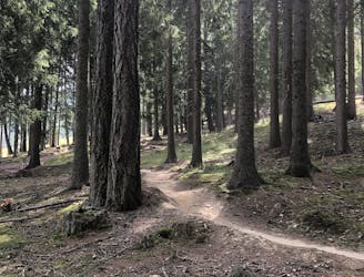
Aigen Trail
Easy loop with a flow single-trail from Göflan
Easy Mountain Biking
- Distance
- 14 km
- Ascent
- 414 m
- Descent
- 414 m
Long alpine tour, shuttle serviced for half of the climb.
Mountain Biking Extreme

This route gives you the perfect sample of Vinschgau: a perfect mixture of narrow, exposed, and technical alpine trails below stunning peaks, but also with shaped and really well-maintained trails thanks to the effort of the local community. This route will take you from the highest peaks all the way down to the fields filled with apple trees. It heads through a medium-long climb on a steep forest road, a hike-the-bike section, a super alpine-style trail, and a super well-shaped trail.
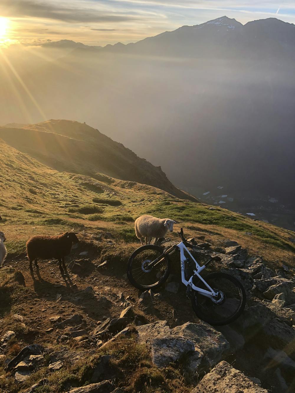
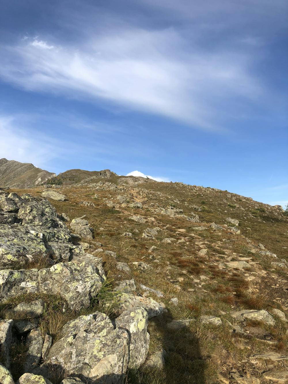
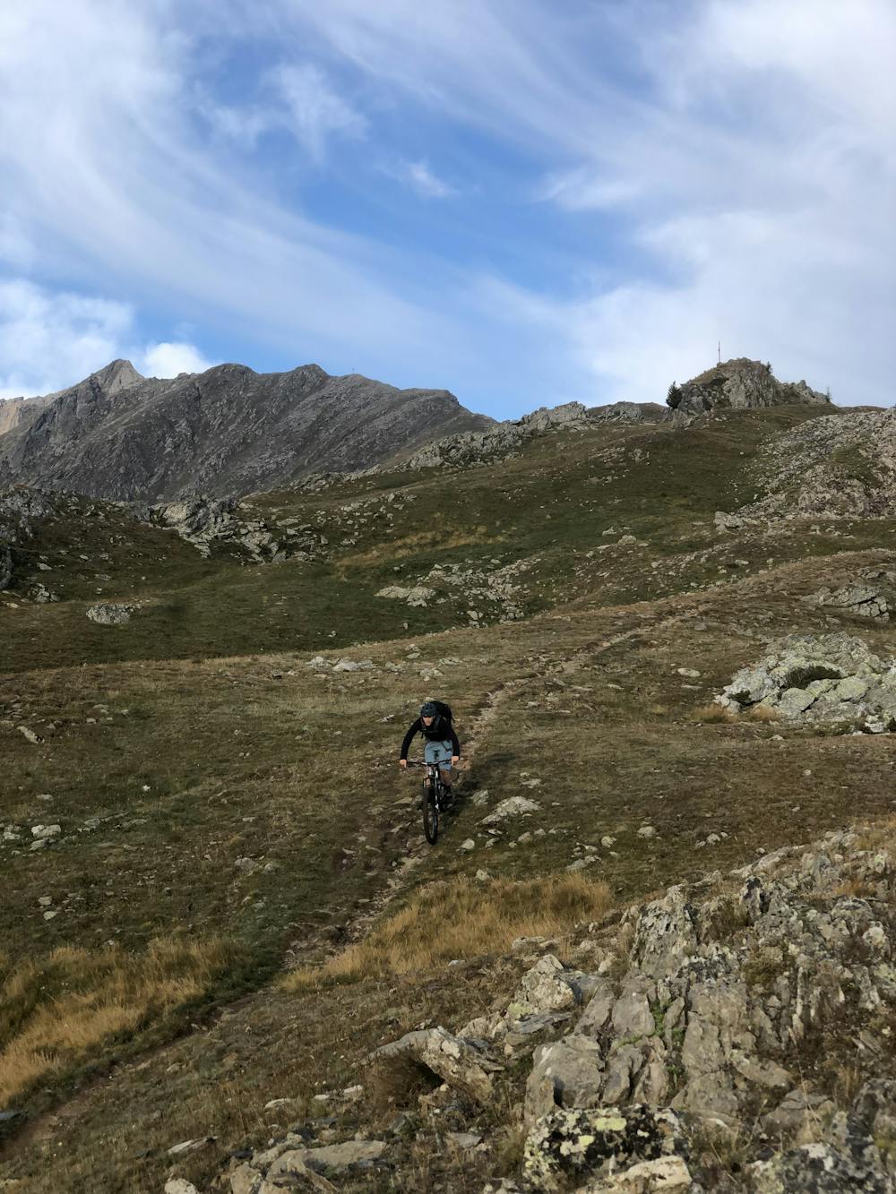
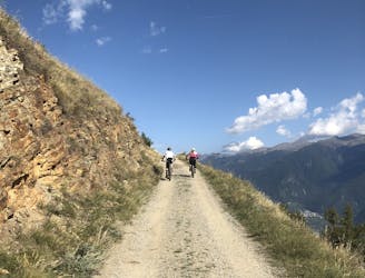
Starting with the shuttle from Coldrano, the shuttle will drive you up to Val Martello, where you will be dropped. You’ll have to start pedaling up, first on an asphalt road, and then on a moderately steep forest road until the very end of it. This is quite a big effort - especially due to the high temperatures and the sun in summer - but you’ll be rewarded by the views from up there.
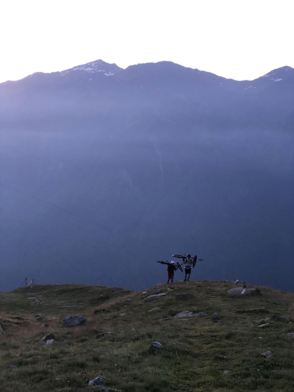
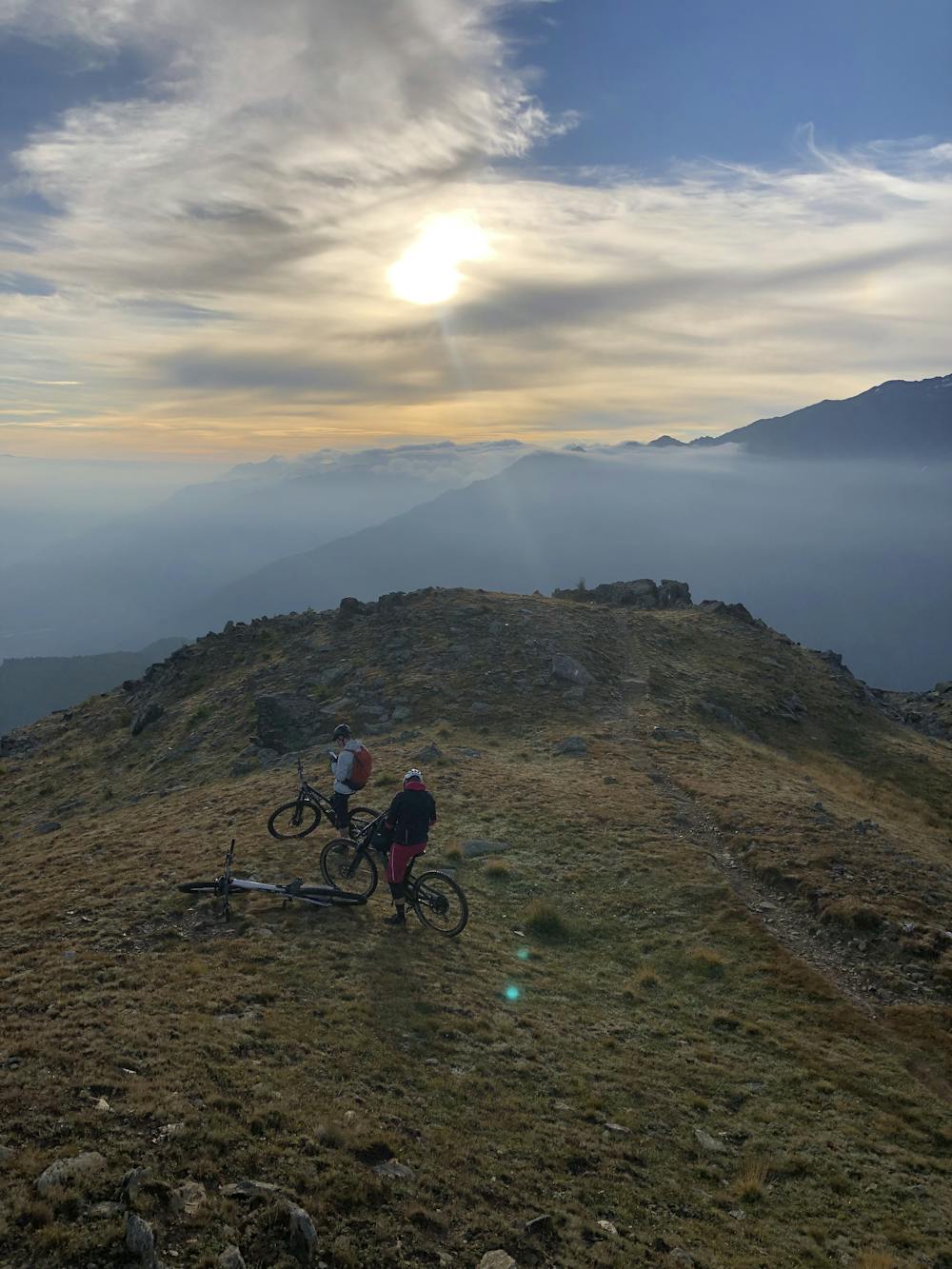
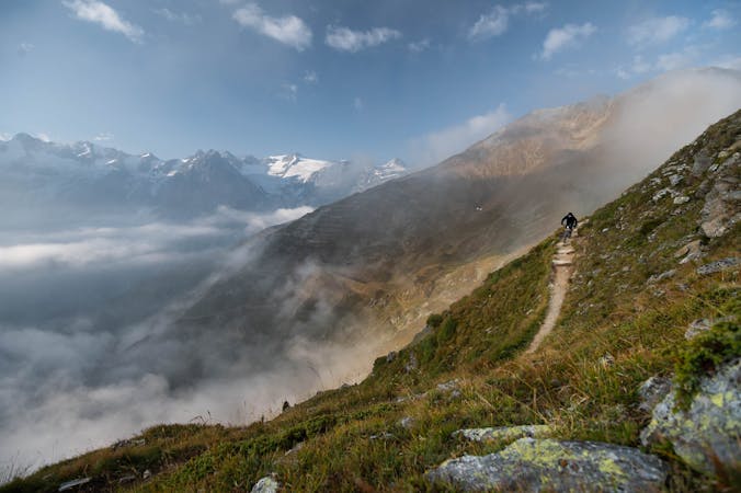
Now it’s time for a proper hike-a-bike section - for approximately one hour - towards Göflaner Scharte and then, through the avalanche barrier, to the Schartlkamm peak! If you are an adventure-oriented biker, you are going to love hiking the bike up here: it is for sure a physical effort, but you will be blown away by the landscapes that this hike will offer you.
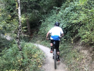
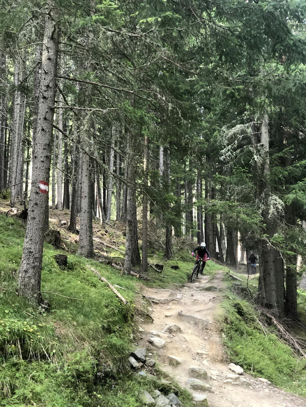
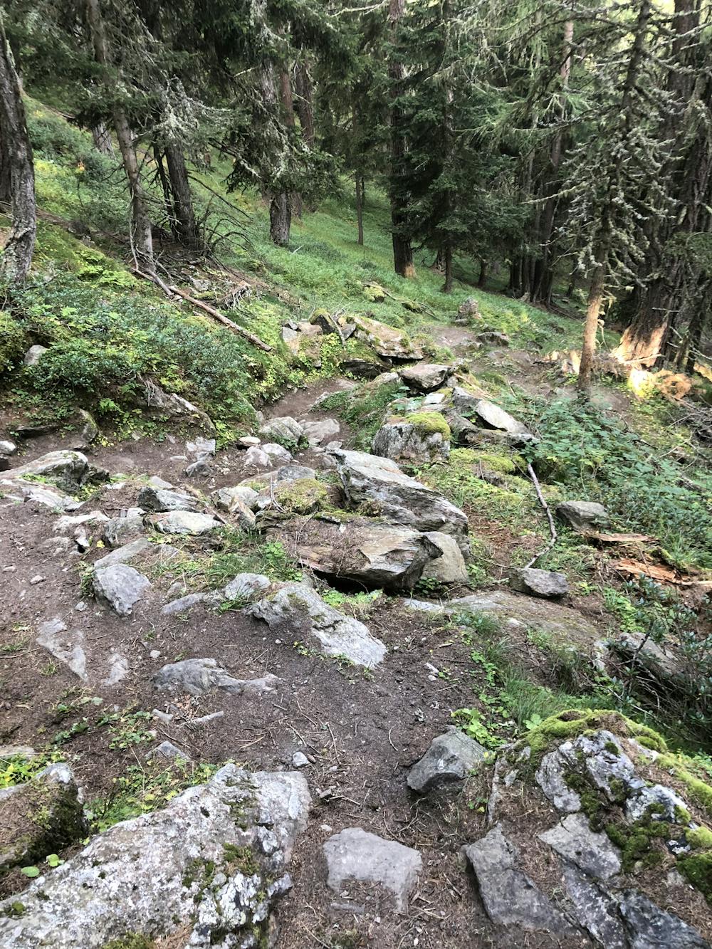
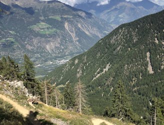
More than 1500 vertical meters of downhill are waiting for you. First the descent runs through dry alpine meadows before diving into the forest, where the trail becomes more technical with rock gardens, switchback turns, and slippery roots. The route will become easier again once you reach the entrance of Holy Hansen trail, the first iconic shaped trail in the valley. Enjoy it until the bottom, where you can now relax in the warm temperatures of the valley with a drink at one of the bars.
Extreme
Very steep, difficult, narrow singletrack with widely variable and unpredictable trail conditions. Unavoidable obstacles could be 15in/38cm tall or greater, and unavoidable obstacles with serious consequences are likely to be present. Obstacles could include big rocks, difficult root sections, drops, jumps, sharp switchbacks, and more. Ideal for expert-level riders.

Some trail sections are extremely exposed where falling will almost certainly result in serious injury or death.
In the high mountains or remote conditions, all individuals must be completely autonomous in every situation.
6.7 km away
Easy loop with a flow single-trail from Göflan
Easy Mountain Biking
6.8 km away
Enduro loop including Holy Hansen trail, a perfect single trail in Göflan!
Difficult Mountain Biking
7.9 km away
Easy blue enduro trail in between Vetzan and Schlanders.
Moderate Mountain Biking
9.3 km away
Single trail accessible from the old chairlift in Latsch
Severe Mountain Biking
7 routes · Mountain Biking