7.7 km away
Propain Trail
Easy blue enduro trail in between Vetzan and Schlanders.
Moderate Mountain Biking
- Distance
- 14 km
- Ascent
- 735 m
- Descent
- 735 m
Single trail accessible from the old chairlift in Latsch
Mountain Biking Severe

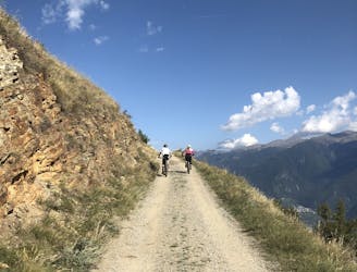
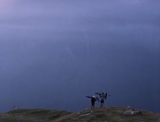
The Barbarossa Trail starts from Tarscher Alm—a beautiful mountain hut fully surrounded by nature, silence, and pretty landscapes. The trail is served by an old school two-seater chairlift. It's definitely not the fastest, but i has its own charm and gives you time to enjoy the calmness of the surroundings. You have to plan your riding here, since the lift has a lunch break of 1 hour, but that’s definitely not a big deal - just be sure to get to the lift before that if you want to grab some food, because there is no place to stop at the valley station.
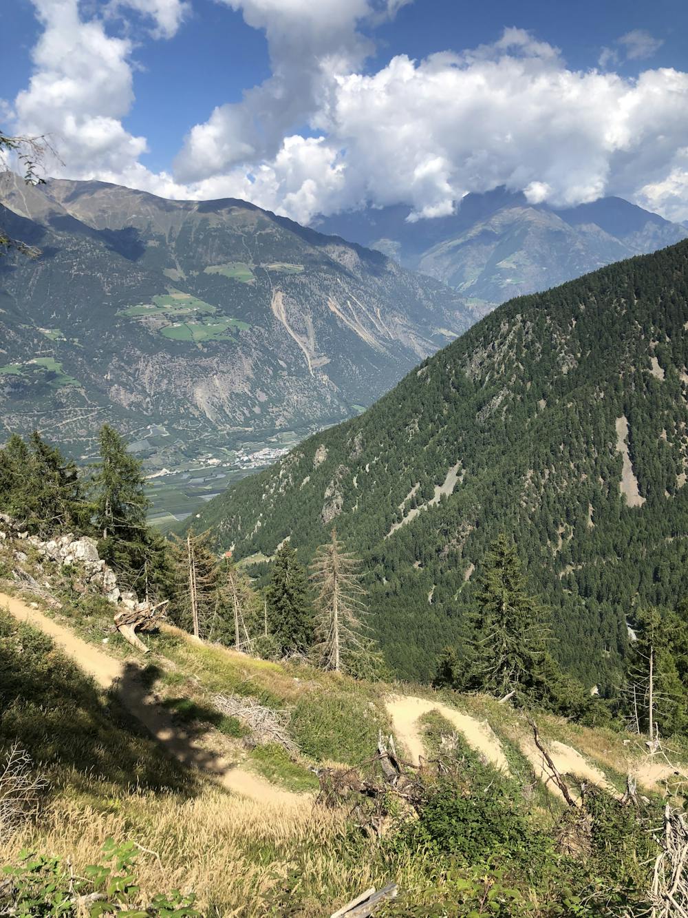
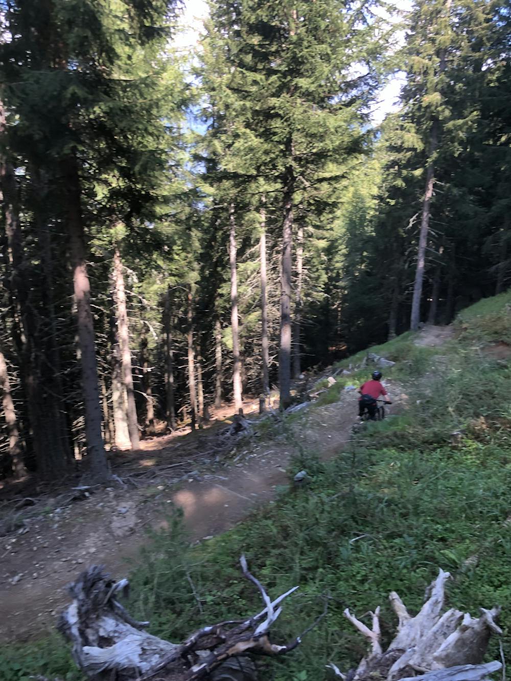
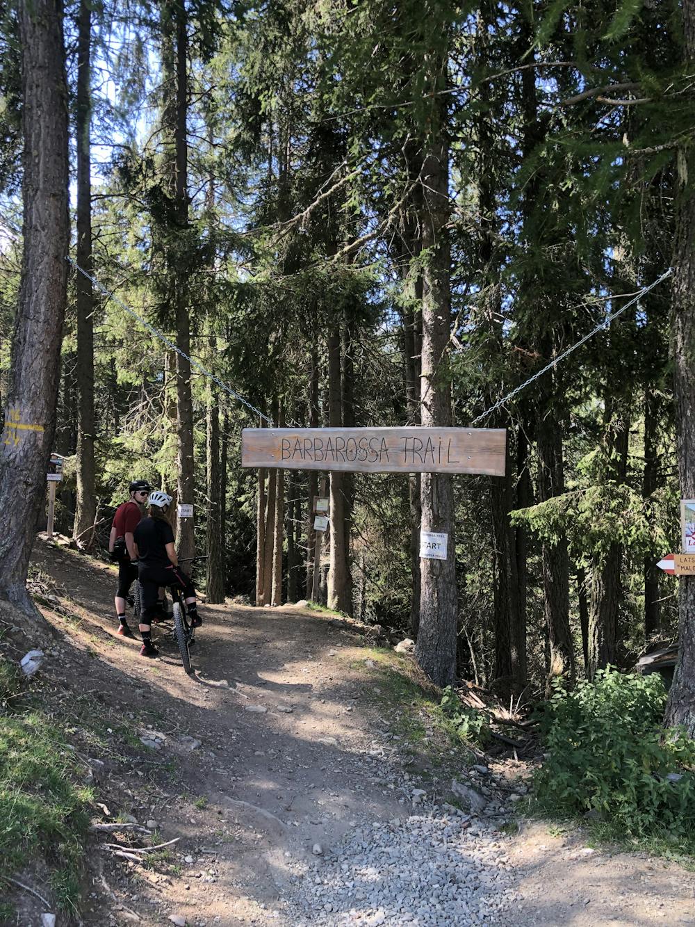
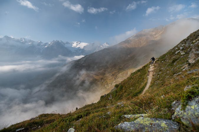
The Barbarossa Trail promises pure fun and joy of the highest class for everyone. With a length of 4.5 km and a height difference of 600 m, it goes through dense forest, beautiful cross passages, and gorgeous landscapes.
To access the trail from the top station of the lift, follow the gravel road downhill and just before the forest, take a right into the trail.
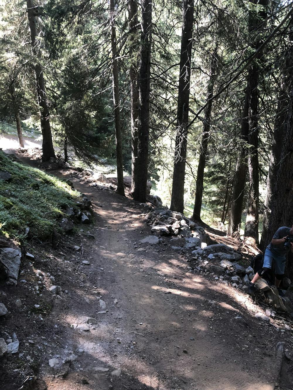
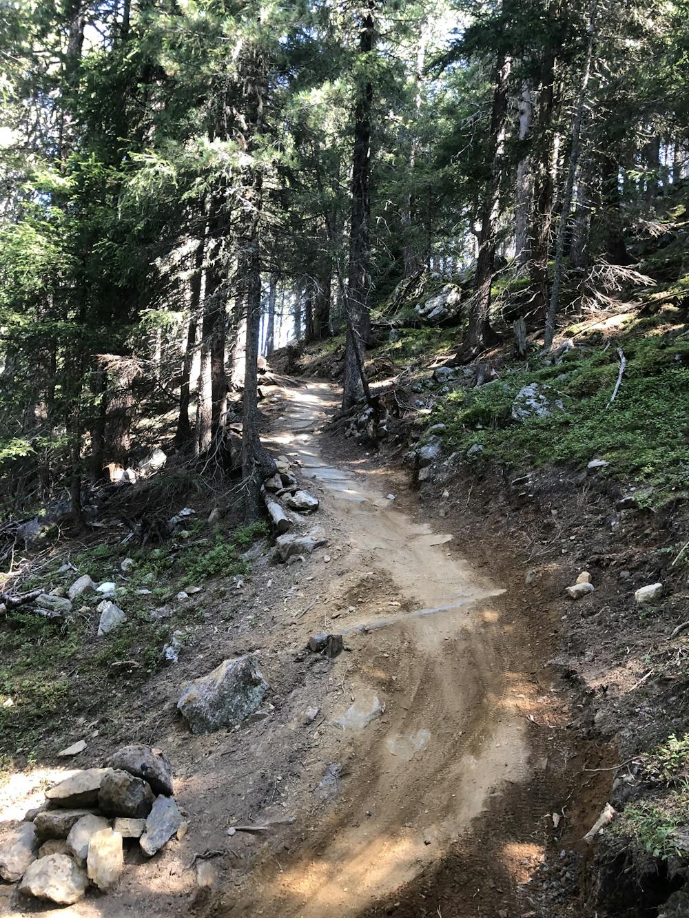
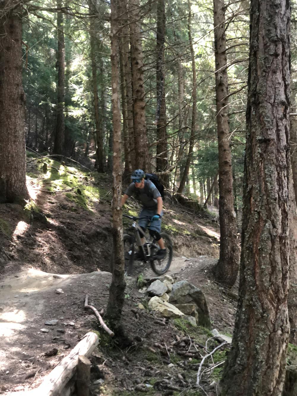
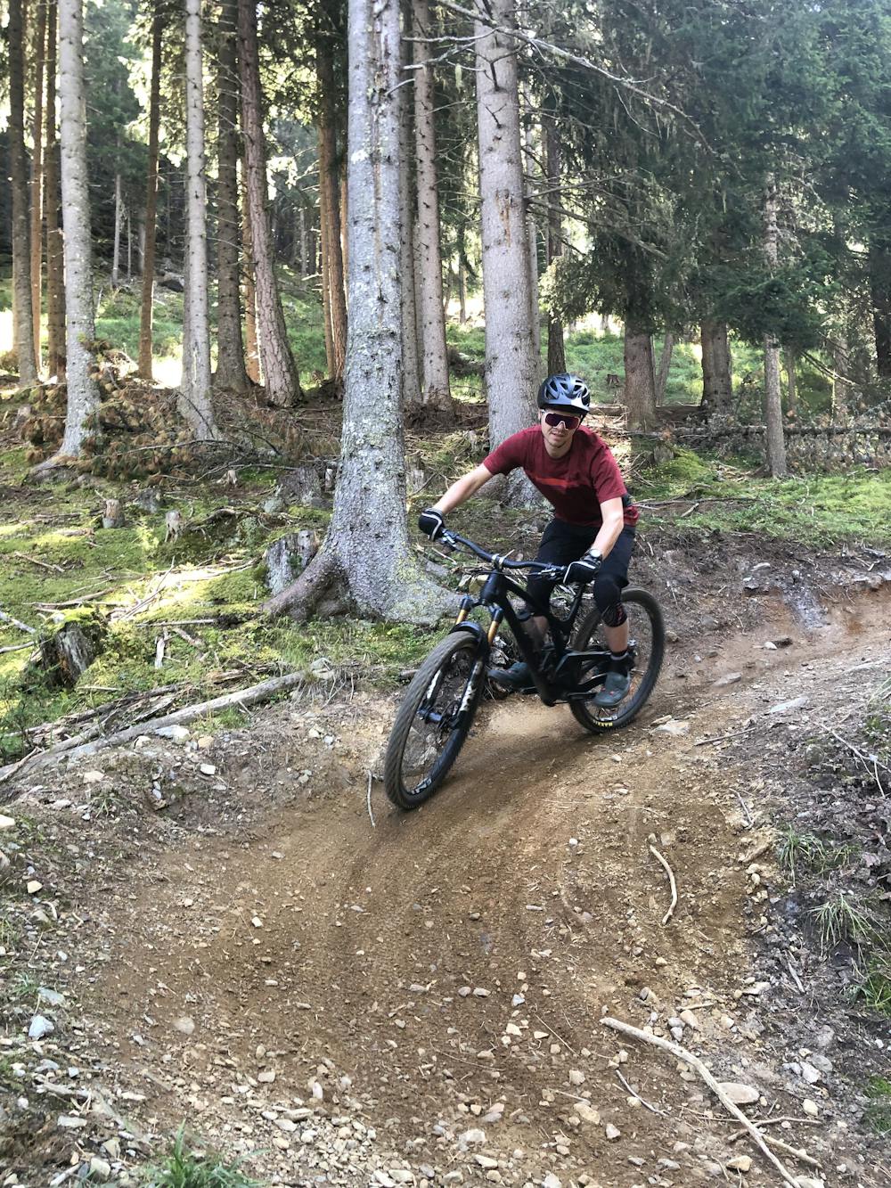
The Barbarossa trail remains flowy and mellow for a very short time, only during the first section, before getting a bit rougher. Then you'll be faced with roots, high drops, and rock gardens, which make this trail really interesting for enduro riders. The trail is often steep and rarely can you leave the brakes fully open. But this trail is always in good condition and has no breaking bumps at all.
When you reach an open field with a water fountain and a barbecue area, keep right on the gravel road to get back to the valley station.
Severe
Widely variable, narrow trail tread with steeper grades and unavoidable obstacles of 15in/38cm tall or less. Obstacles may include unavoidable bridges 24in/61cm wide or less, large rocks, gravel, difficult root sections, and more. Ideal for advanced-level riders.

Some trail sections have exposed ledges or steep ascents/descents where falling could cause serious injury.

Away from help but easily accessed.
7.7 km away
Easy blue enduro trail in between Vetzan and Schlanders.
Moderate Mountain Biking
9.3 km away
Long alpine tour, shuttle serviced for half of the climb.
Extreme Mountain Biking
7 routes · Mountain Biking