120 m away
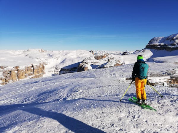
Zendleser Kofel
A classic easy ski tour which has fabulous views
Moderate Ski Touring
- Distance
- 7.8 km
- Ascent
- 742 m
- Descent
- 742 m
Bellissimo giro da fare in skialp, andata e ritorno sullo stesso percorso.
Ski Touring Moderate

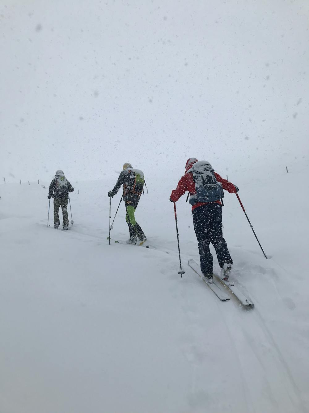
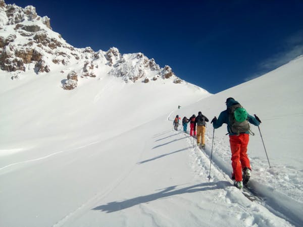
This is a popular ski touring route which is generally considered to be moderate. It's remote, it features medium exposure (e2) and is typically done between December and March. From a low point of 1.7 km to the maximum altitude of 2.4 km, the route covers 8.8 km, 745 vertical metres of ascent and 745 vertical metres of descent. It's graded 2.2 and Labande grade 3. You'll need skins to complete it safely.
Percorso buono se c'è neve e panorama fantastico se buon tempo.
Moderate
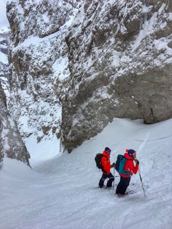
Slopes become slightly steeper at around 25-30 degrees.

As well as the slope itself, there are some obstacles (such as rock outcrops) which could aggravate injury.
Away from help but easily accessed.
120 m away
A classic easy ski tour which has fabulous views
Moderate Ski Touring
9.5 km away
A quickly accessed loop through some huge terrain
Difficult Ski Touring

50 routes · Freeride Skiing · Ski Touring
7 routes · Freeride Skiing · Ski Touring
3 routes · Ski Touring
6 routes · Ski Touring